The Story
My coach has me running “15k Up and Down” once a week. The intention here is to pick a route that has more elevation than my usual ones. Today I thought I would try High Rockies trail in Kananaskis. My son and his girlfriend have been staying with us for the week and their aim was to do a hike everyday. They decided to come with me and hike around the lake while I ran.
Getting There
The trailhead was about a 30-minute drive out of Canmore. We drove up past the Nordic Center and up Spray Lakes Road. Past Grassi Lake and the Ha Ling trail head. I parked at the North end of the Spray Lake reservoir. The trail head is well marked and easy to see. Google Maps Directions Here.
Runnability
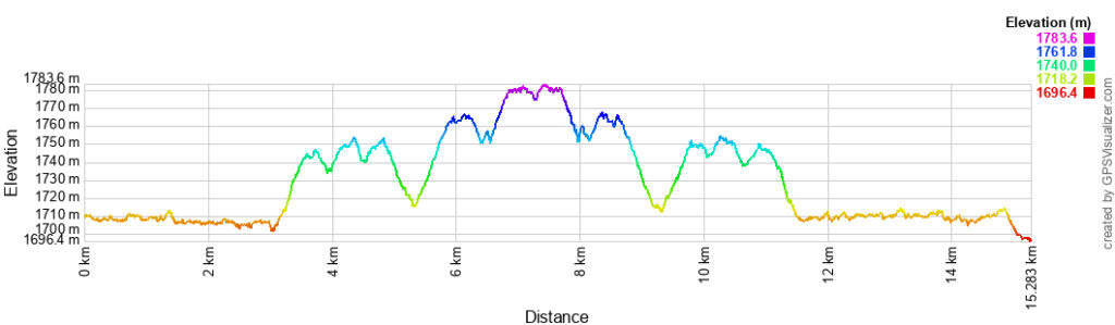
While Mike rated this one as being very runnable (except for a couple of reasonable short climbs), I felt that there were long sections that were not runnable, for me anyway, and I don’t think it was because I ran a harder workout yesterday so was starting on tired legs today.
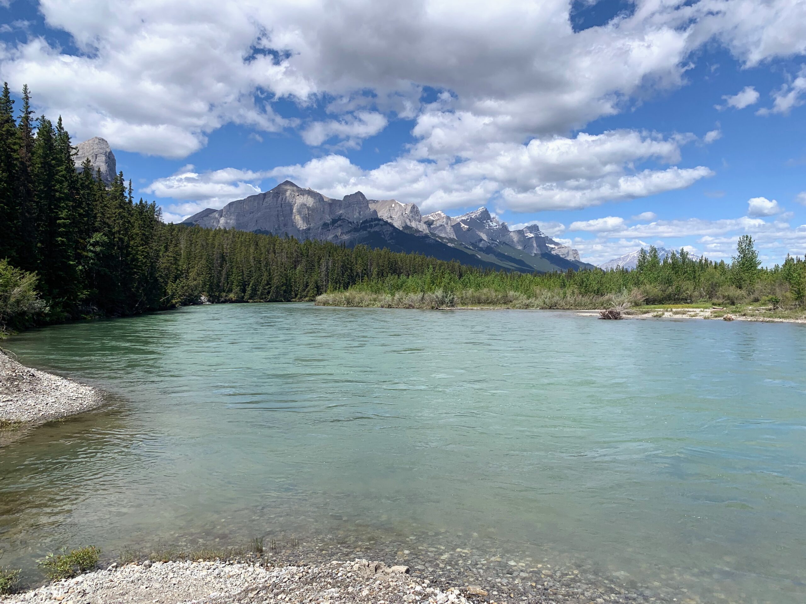
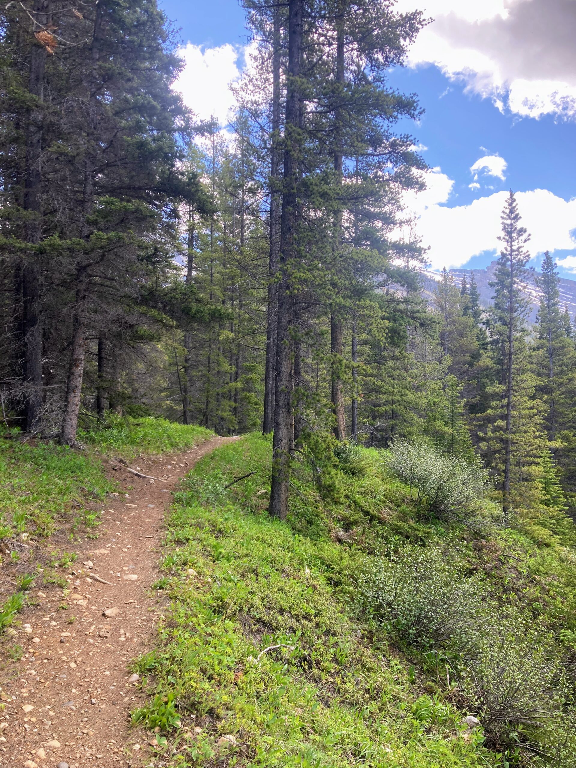
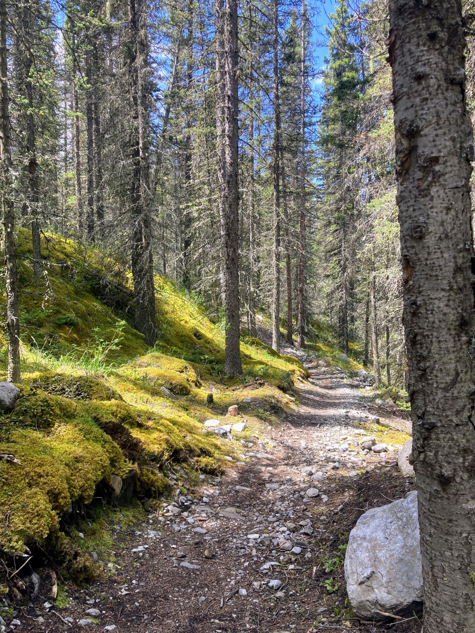
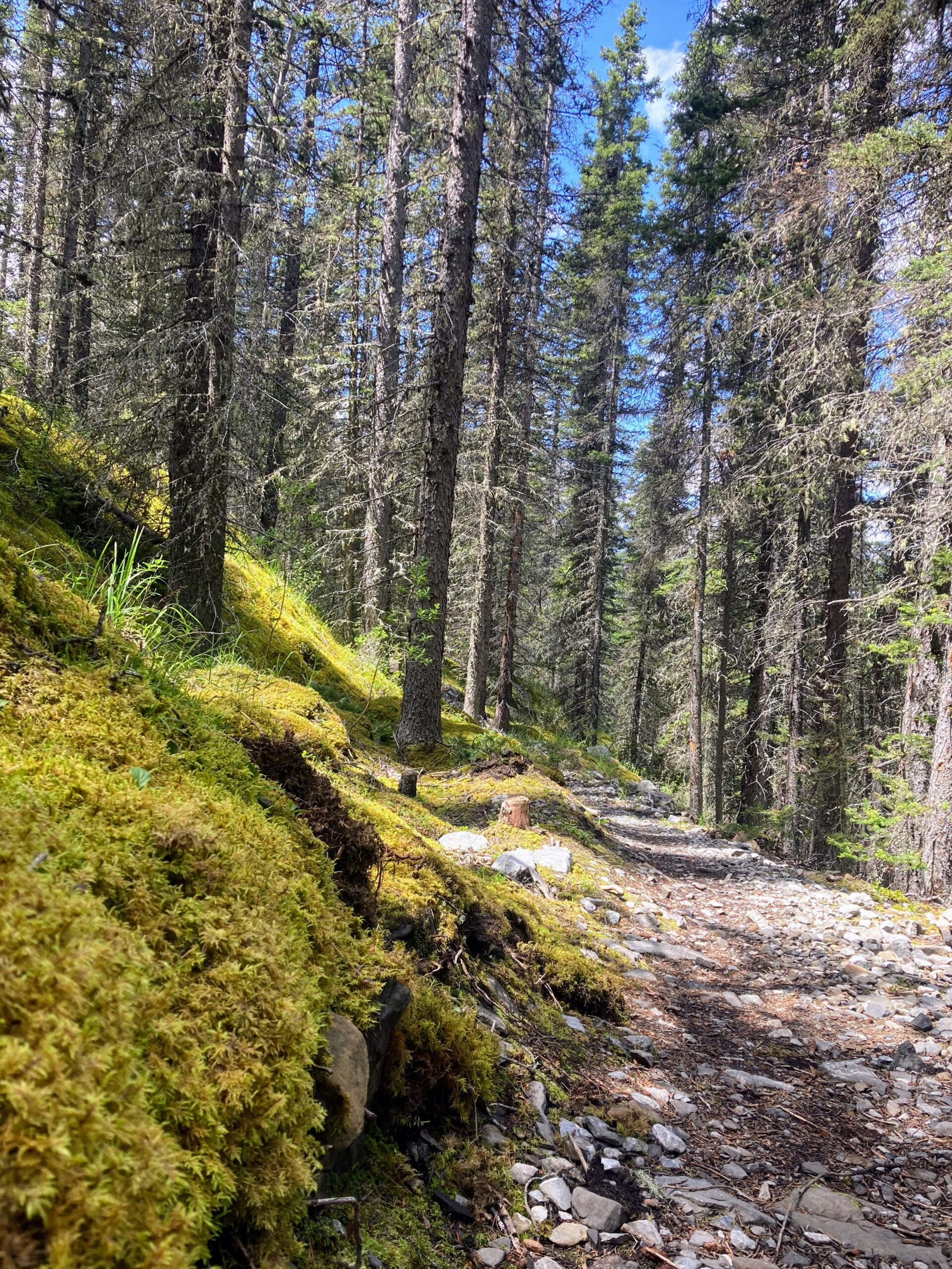
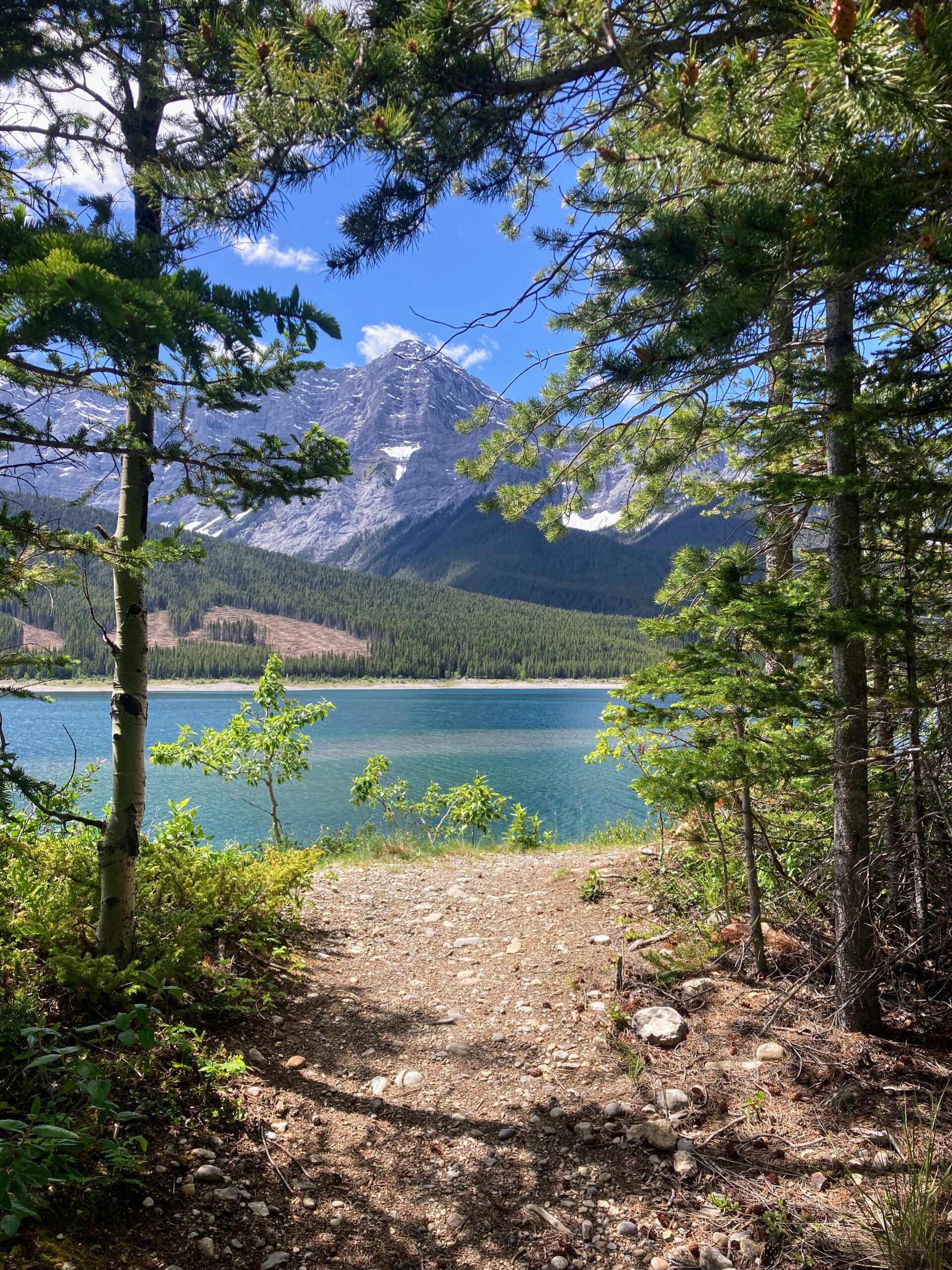
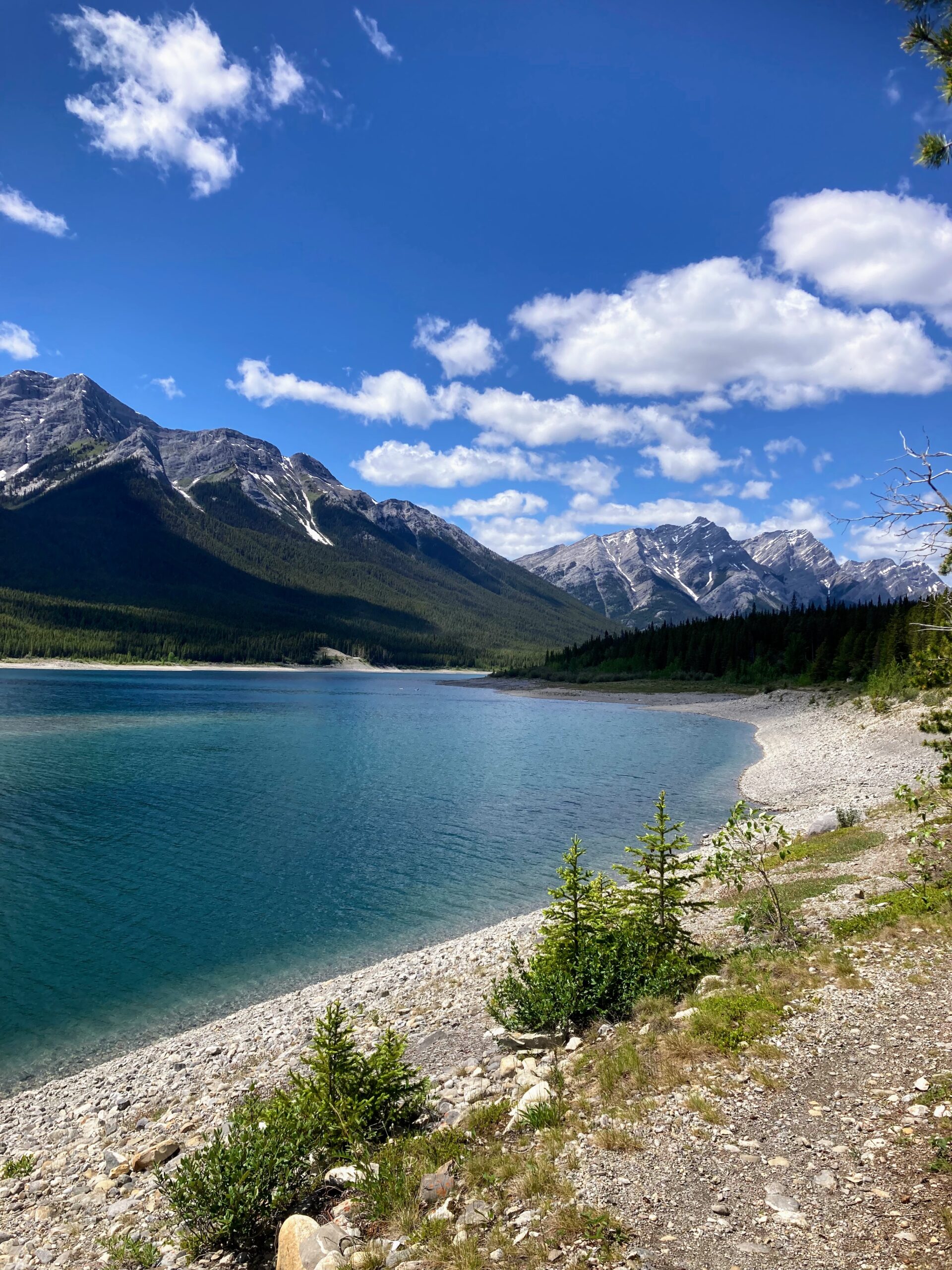
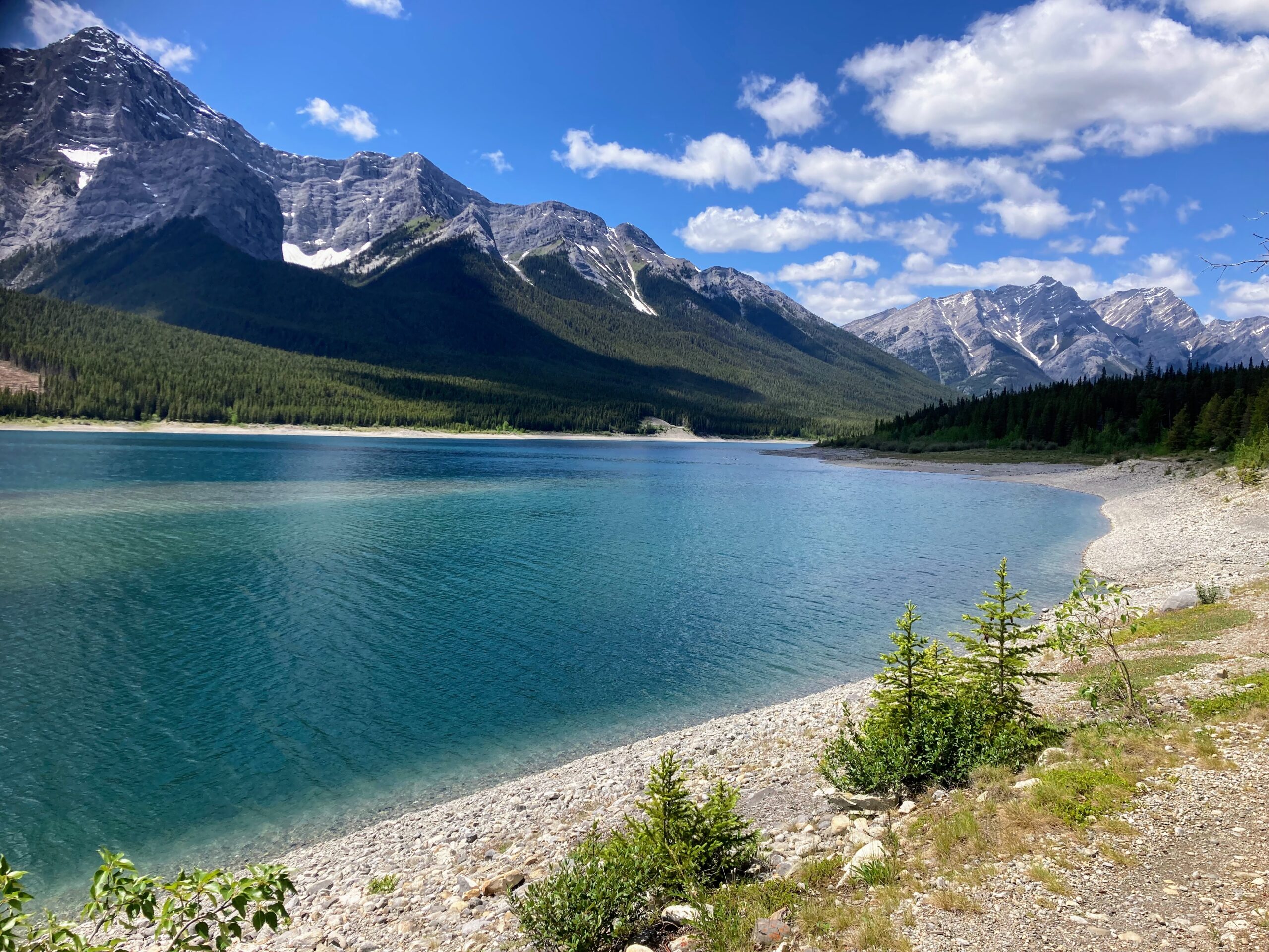
The first three kilometers ran along the reservoir, then took a turn up and across the highway. This section was very runnable for the most part and the trail is very well maintained. Nice ribbony single track with beautiful views of the lake. There was loads of evidence of bear activity so I made sure to call out frequently as there are many blind spots with all the little hills, twists and turns.
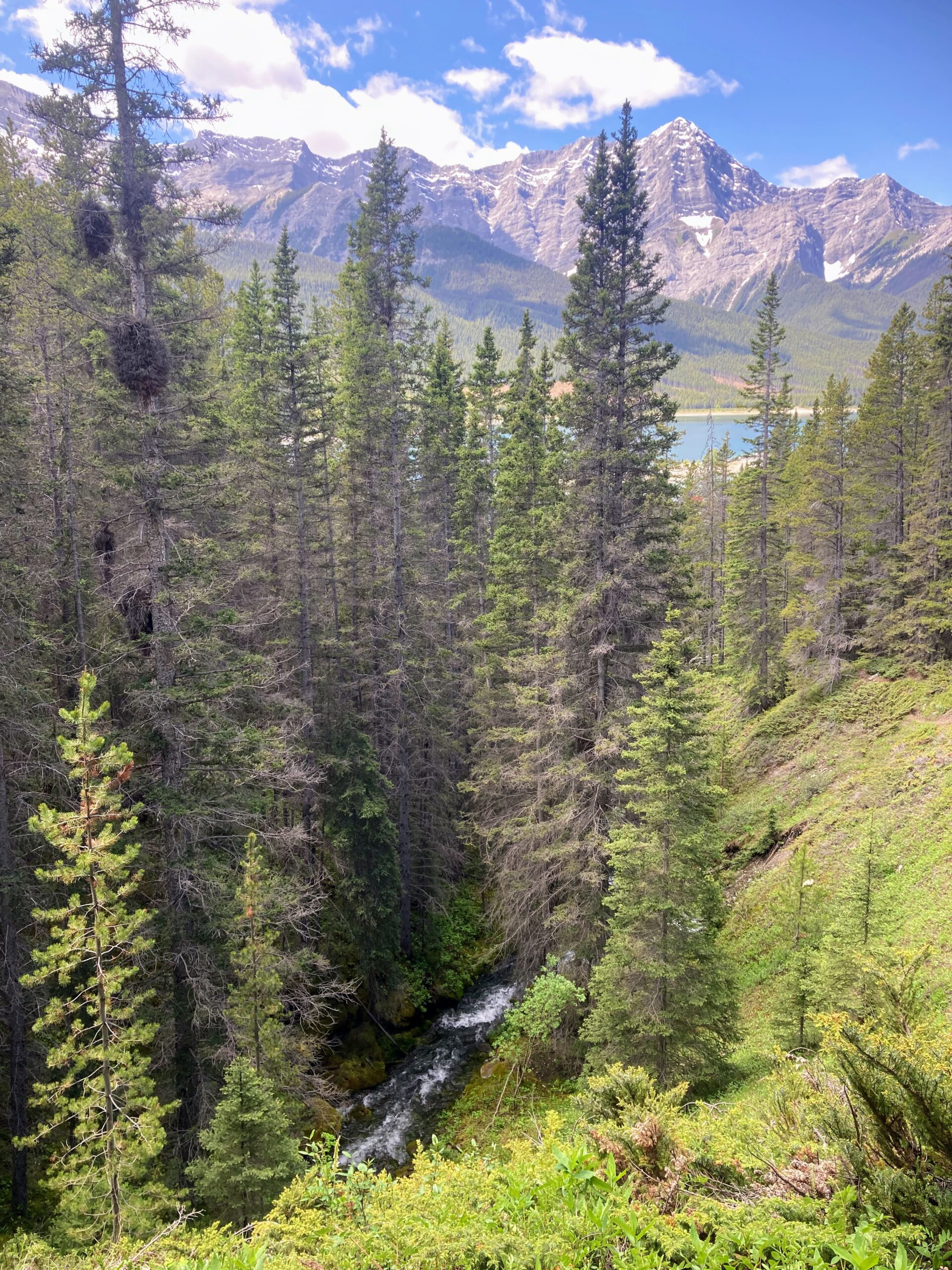
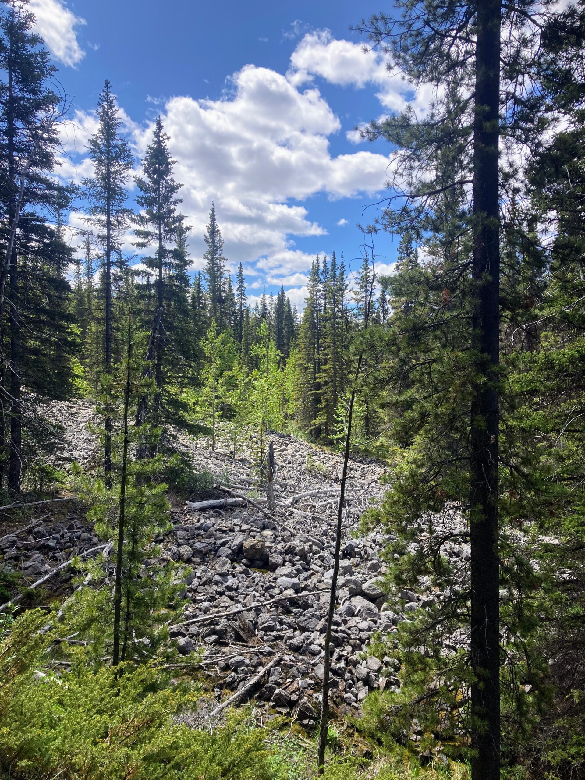
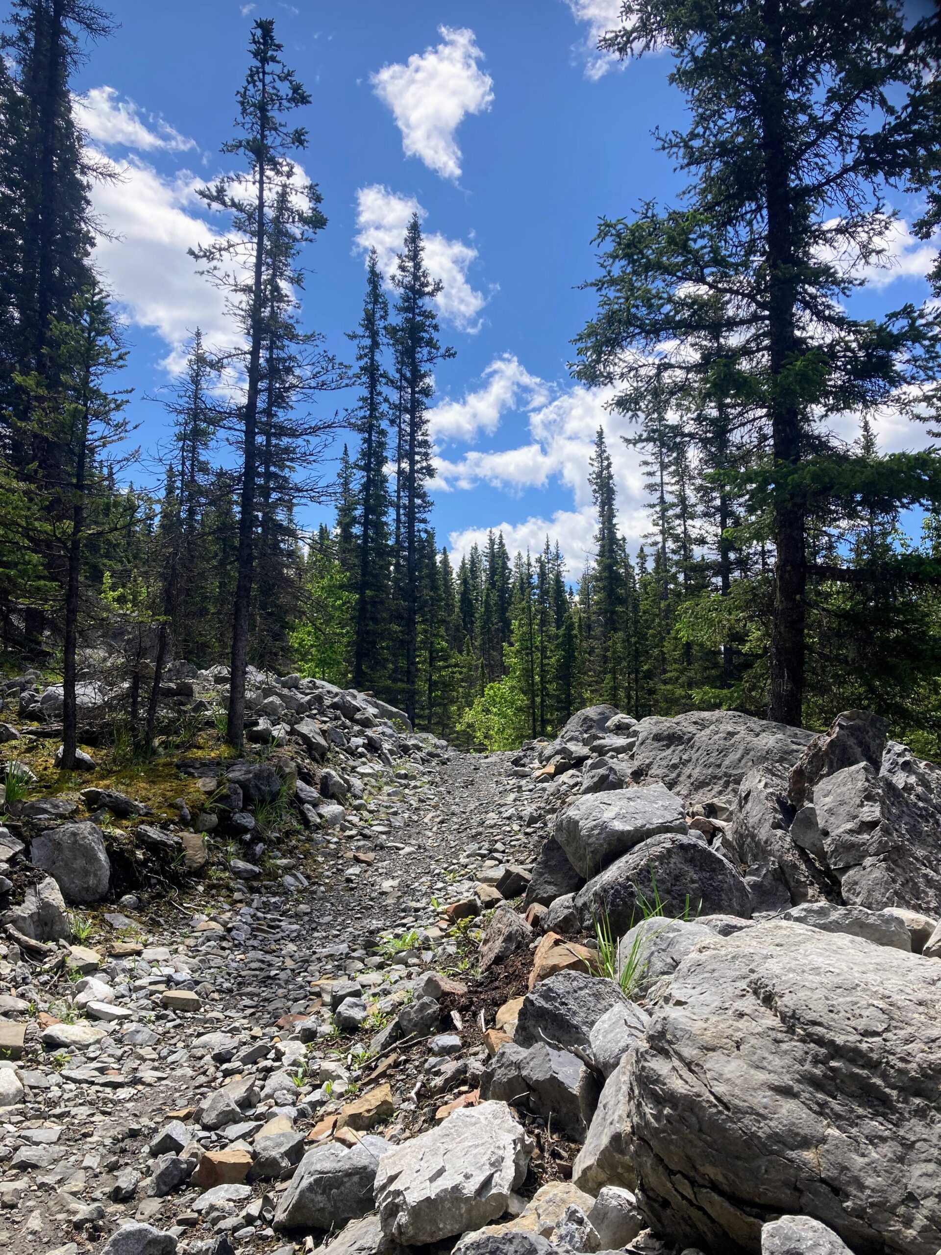
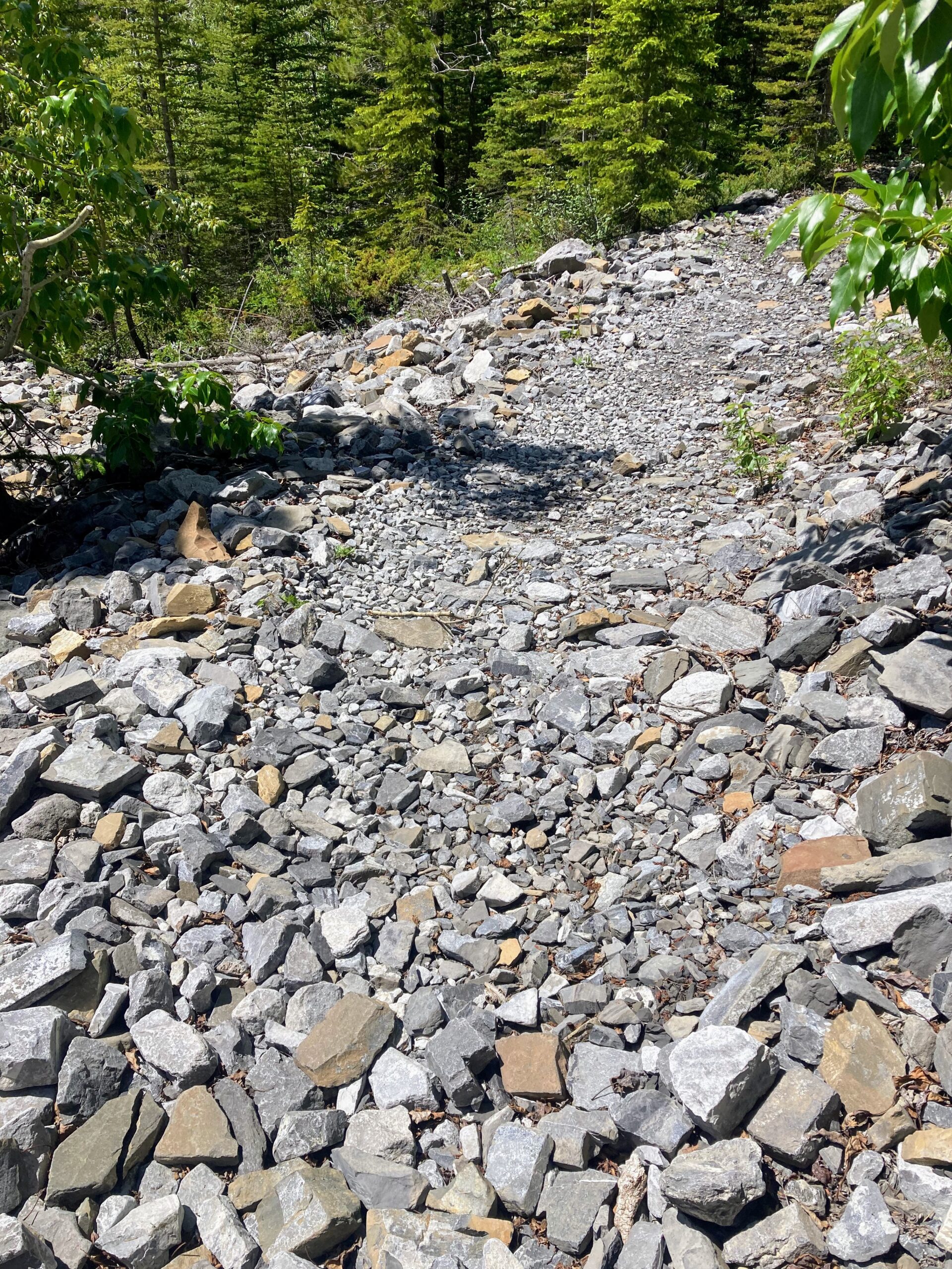
Around 3.6km I had to cross the road to continue the trail on the other side. From here I felt the next 2km were not very runnable. The terrain is technical with lots of baseball sized rock which made running continuously not possible. I kinda ran/hopped/walked this section. It is super pretty but I definitely did not get into a flow here.
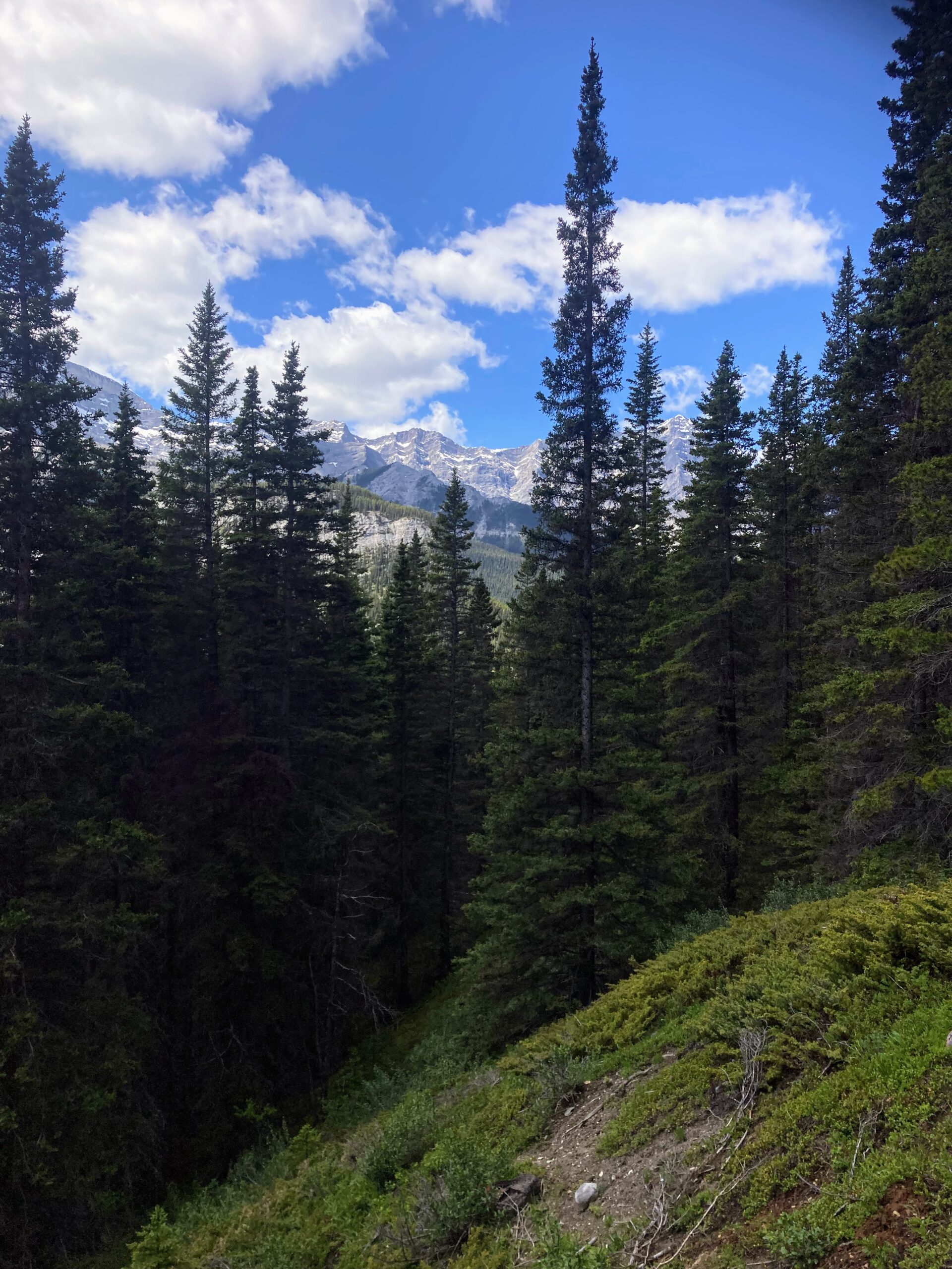
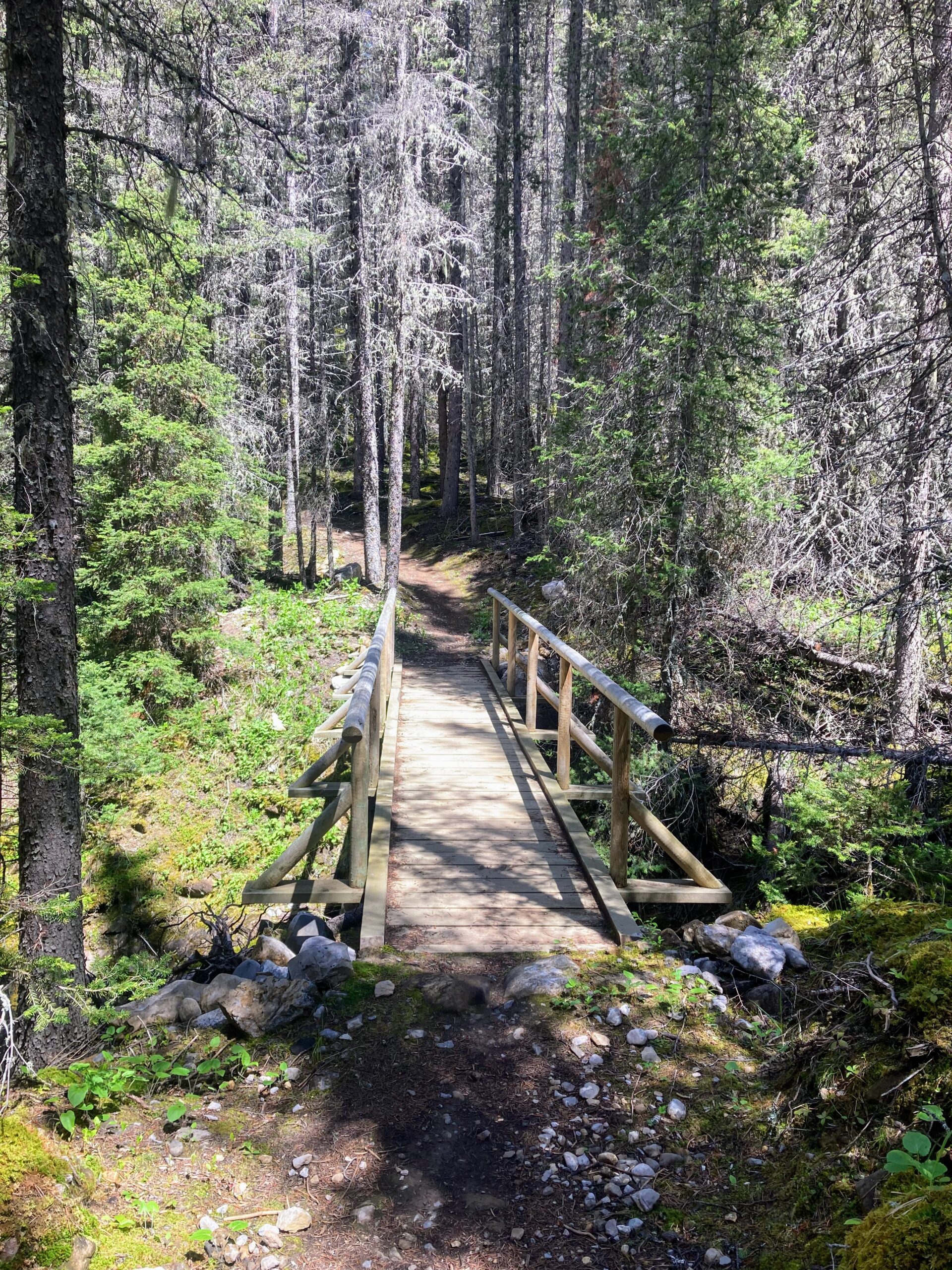
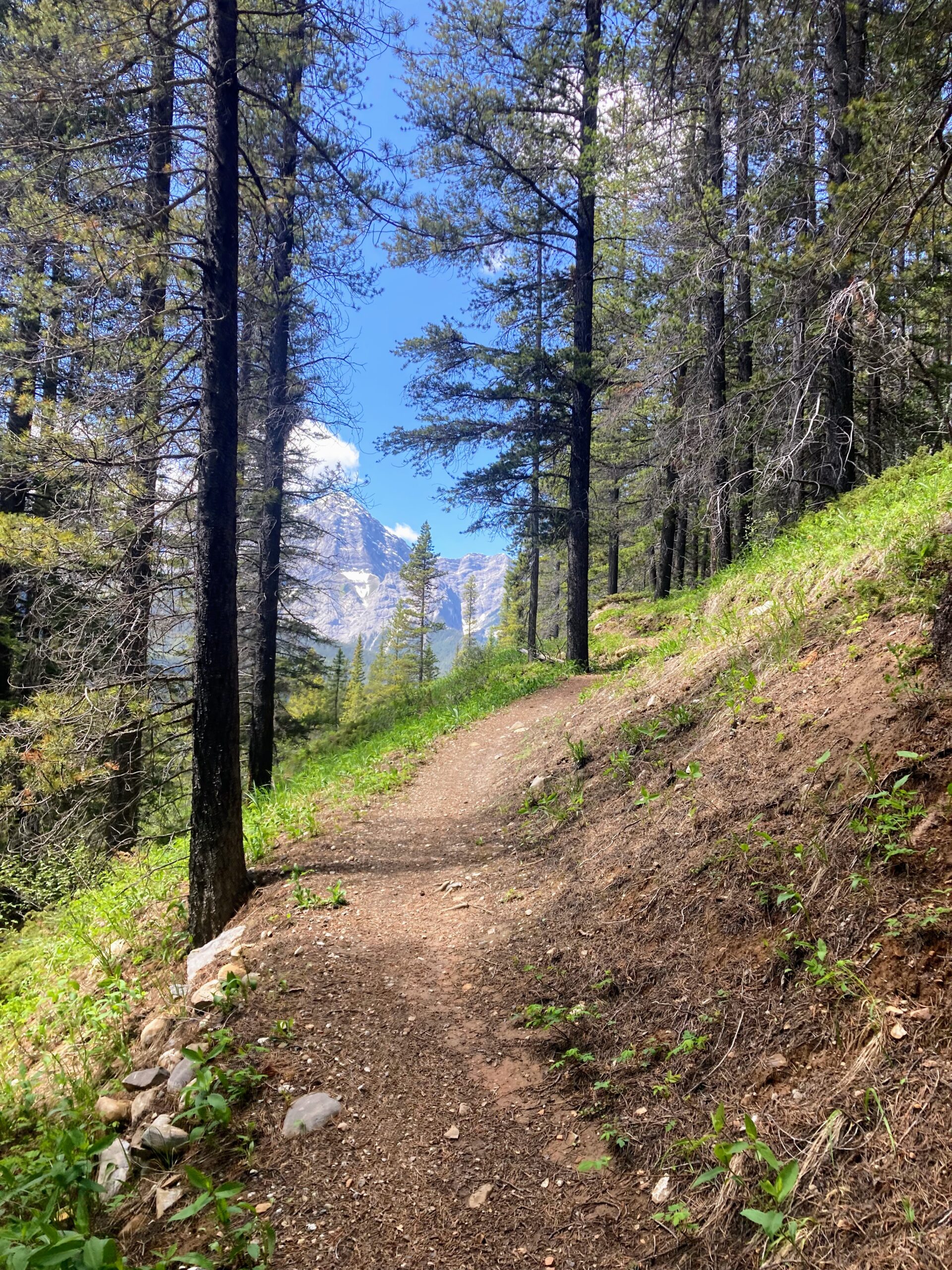
There are several bridge crossings along the way and the trail eventually clears up into a really runnable pine covered single track roller coaster. I only went 7km out and it looks like the bulk of the elevation is gained on the way out. I definitely found the run back much easier.
I would do this one again for a long run, but next time I think I will start from Goat Creek so I can see Goat pond along the way.
What to Bring
I ran with a 2 litre bladder in my pack and 500ml electrolytes up front. There was plenty of opportunity to fill up a filter flask from creeks along the way but some of those stops would have you go off trail a little ways to get to them.
Bear Spray – There were lots of signs warning to beware of bears. I made sure to make plenty of noise on the trail and always had the bear spray handy.
Satellite device – I unfortunately forgot the Zoleo and there is no cell service out there. Since I didn’t know how difficult the terrain was going to be, I told the kids I would be under 2 hours, so when I hadn’t come back by 2:20 they started to get freaked out. My son wound up taking the car closer to town so he could get cell service to call Mike – I, of course, came around the corner just in time to see my car pulling out of the parking lot and my son’s girlfriend standing alone…
That was entirely my fault. Normally I make a safety plan with the kids but I didn’t this time and there was no way to communicate. They are young adults and didn’t think to come out on the trail to look for me if they were concerned. For the record they both had plenty of water, food, bear spray, sunscreen and safety gear, so they could have easily come out on route to see where I was – except they are still inexperienced and didn’t think to do that. Next time I will make sure to have my satellite device and communicate a better plan a head of time.