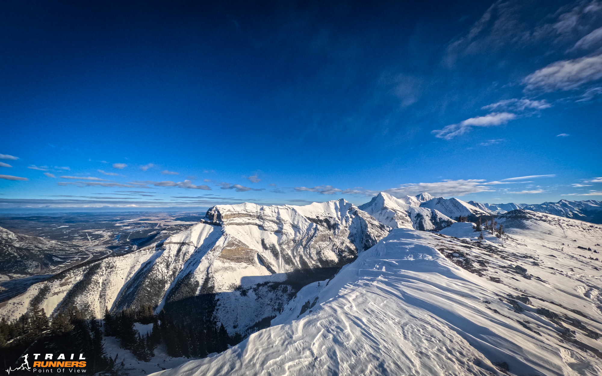
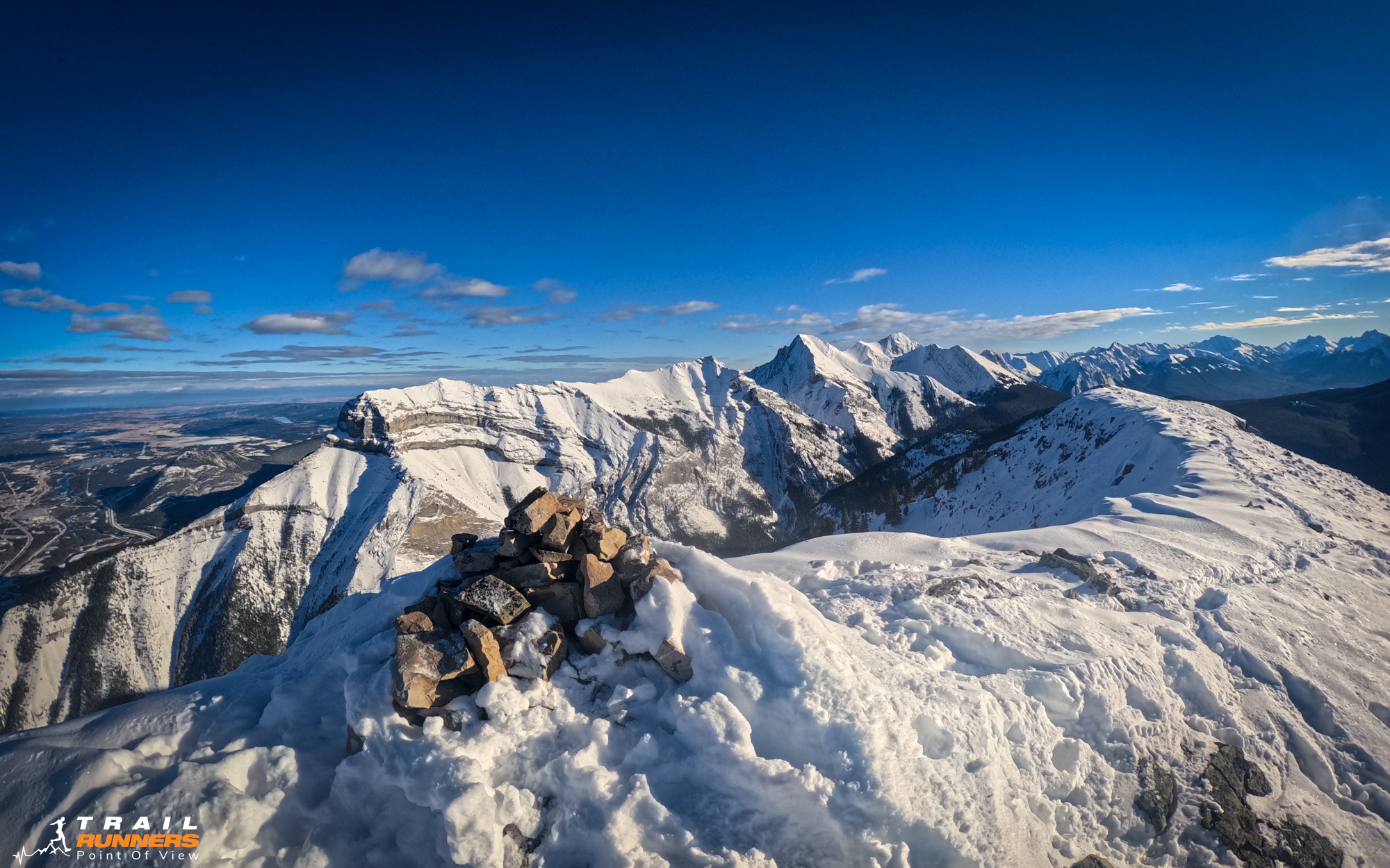
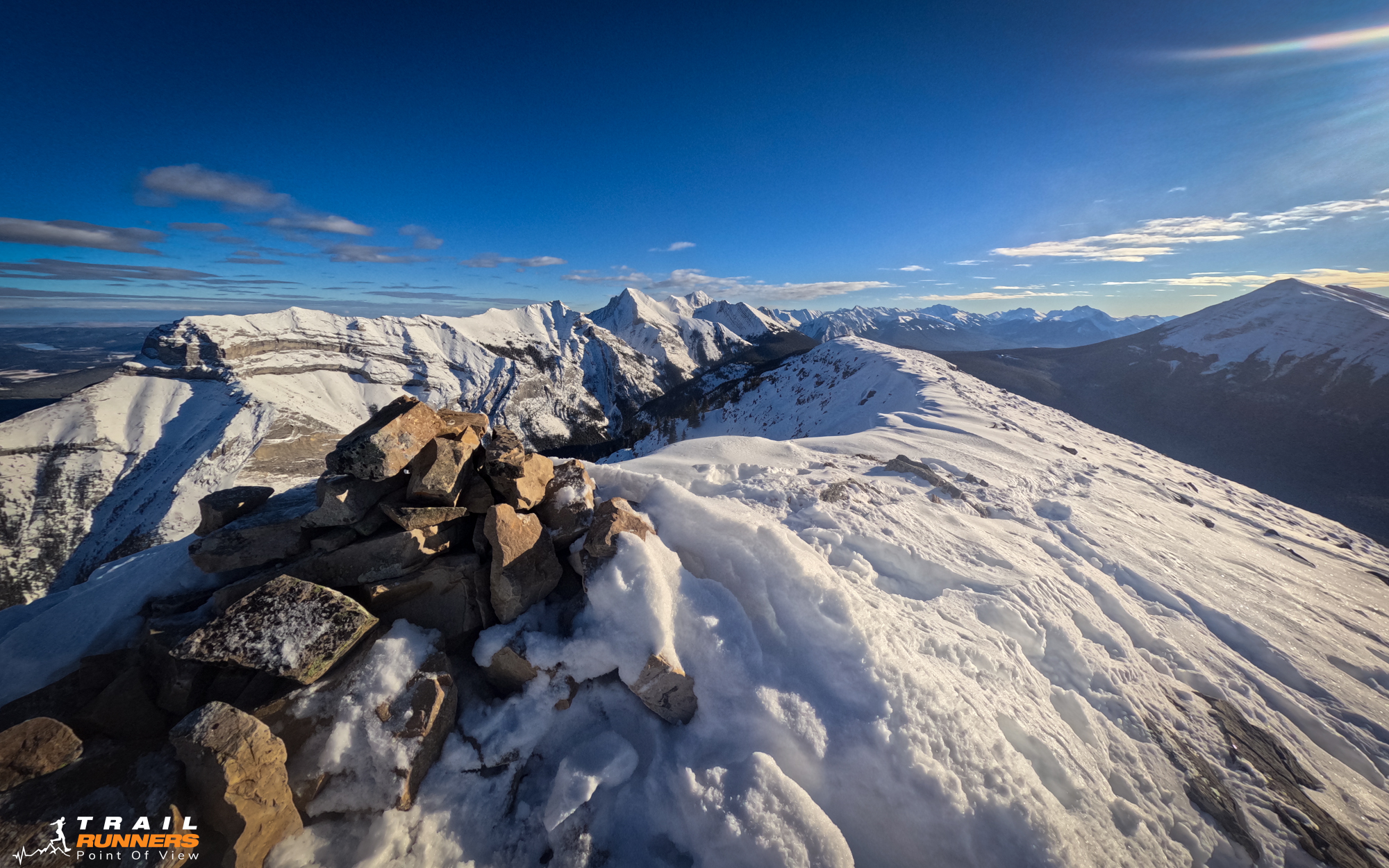
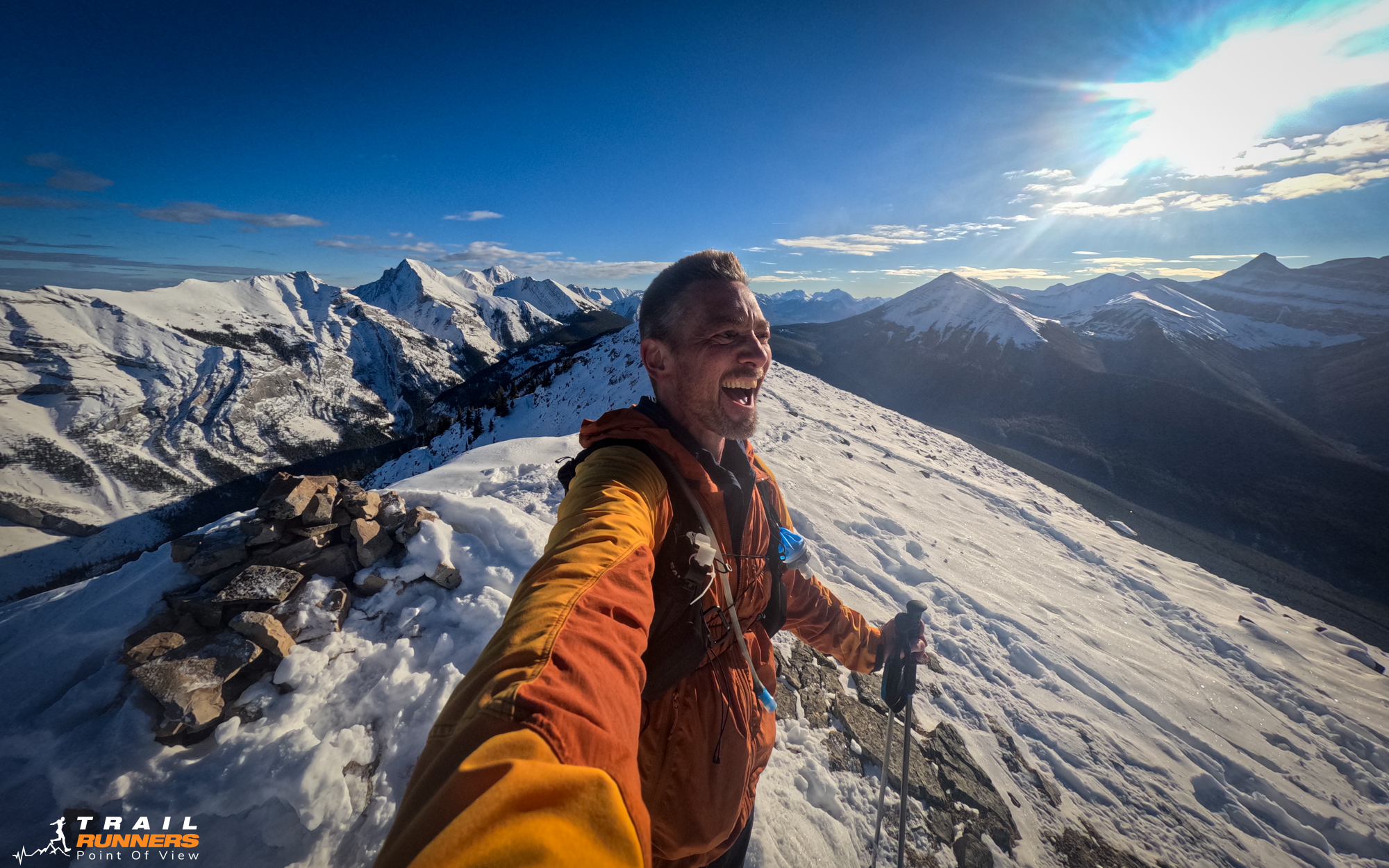
The Story of Pigeon Mountain
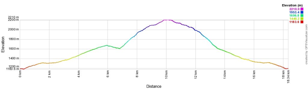
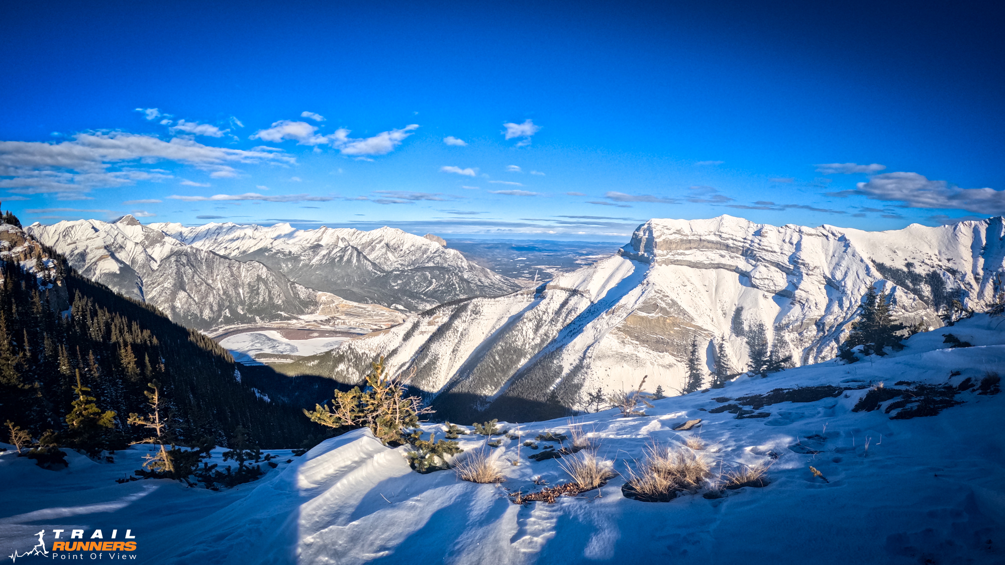
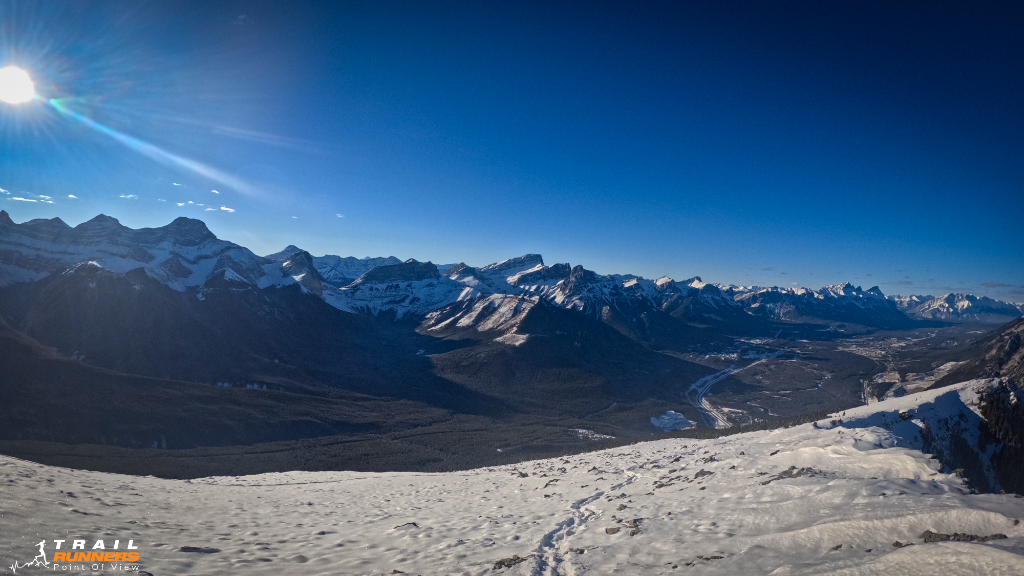
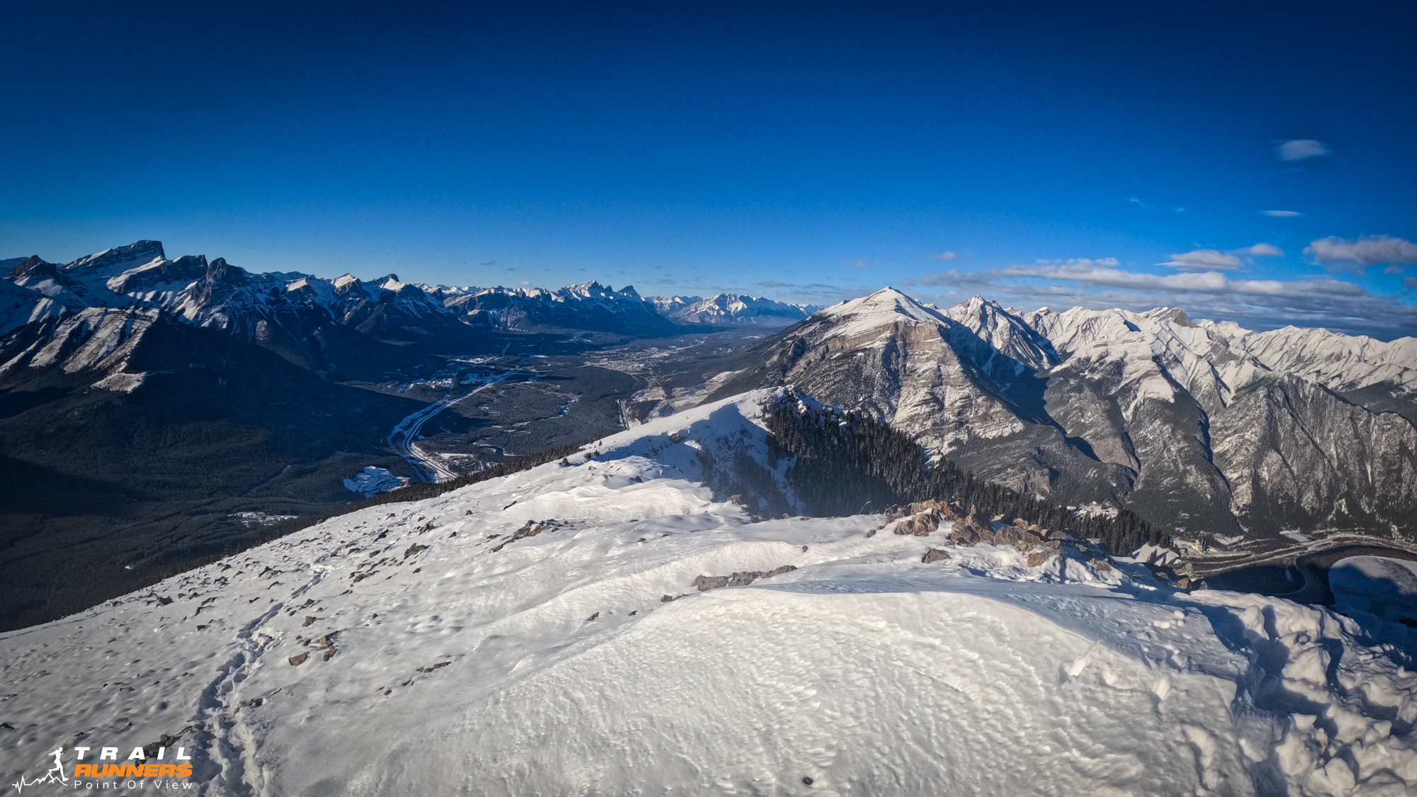
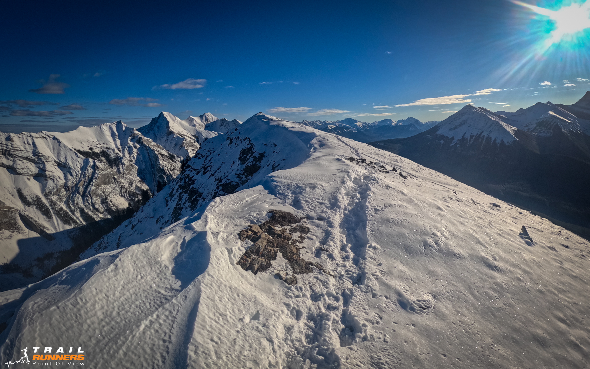
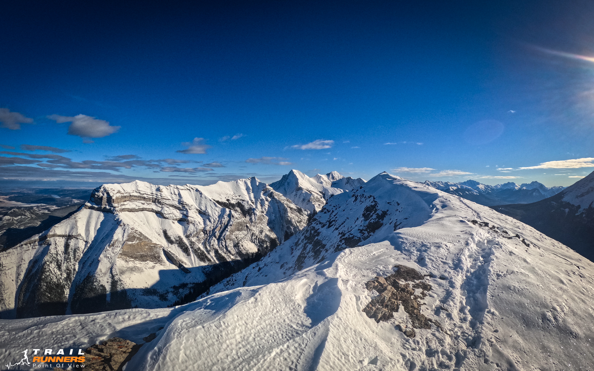
Michelle was back in Edmonton this week so I was looking for something close to home. Pigeon Mountain was a great reminder of the amount of trails so close that I am still blissfully unaware of. It is hard to believe that this was the end of November. A reminder that Pigeon Mountain is closed December 1 so this one will have to wait until spring for a return trip.
Getting to Pigeon Mountain
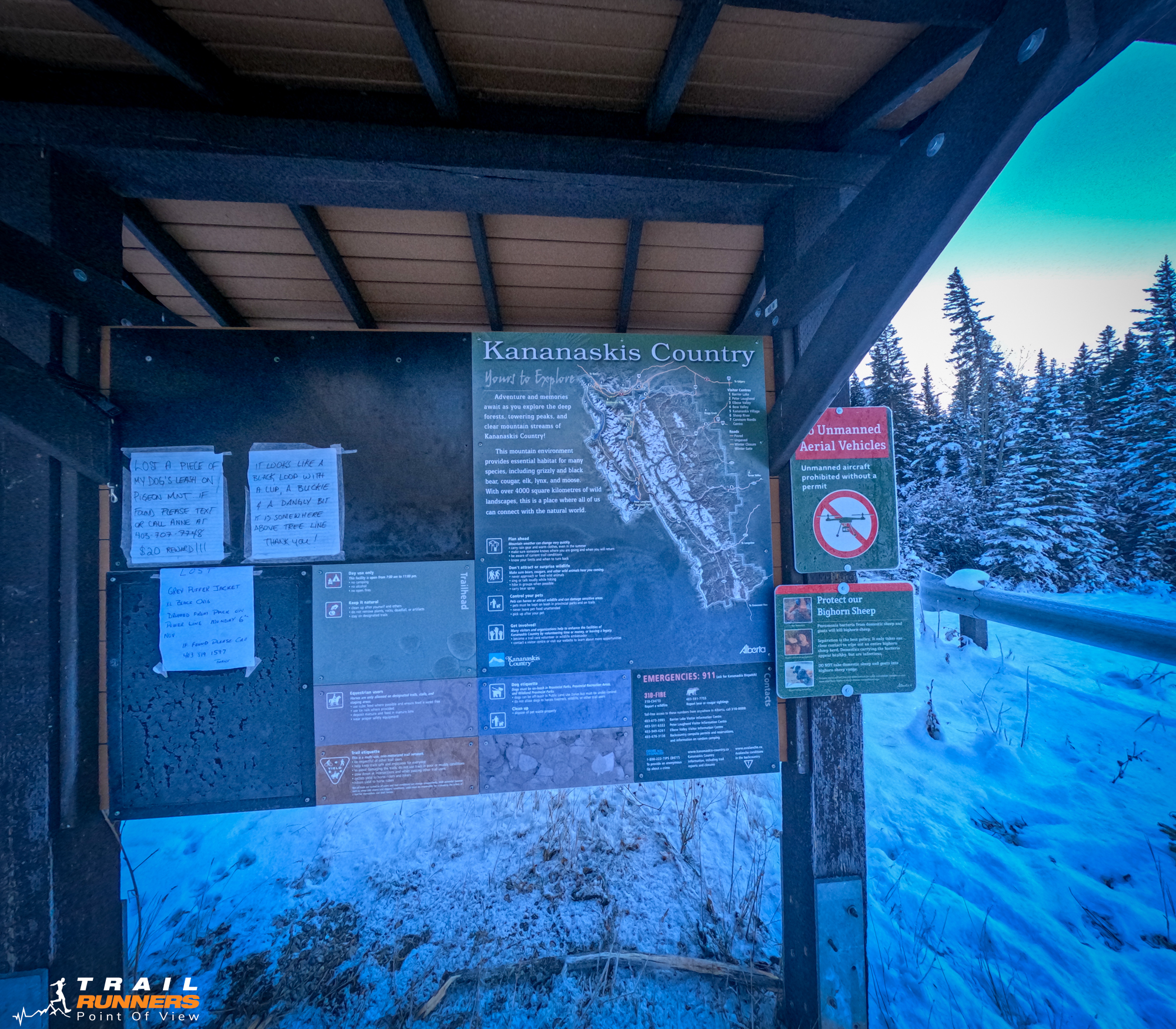
The Pigeon Mountain Trail parking lot is the same as Wind Ridge. It is just off Highway 1 at the Dead Man’s Flats exit. Drive South up George Biggy Sr. Road. The parking lot is to the right at the top with Banff Gate Mountain Resort on the left. You can’t miss it. The parking lot is not very large so I imaging in the summer it would fill up fast. Google Maps Directions Here.
Runnability
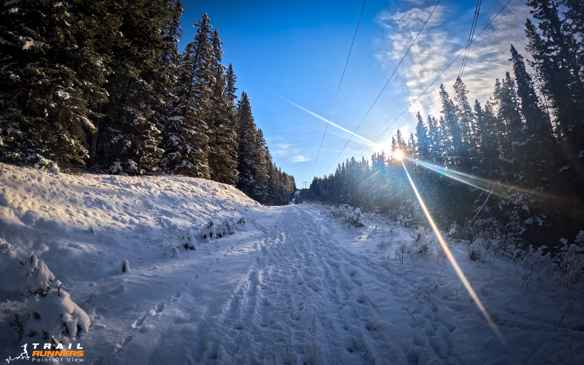
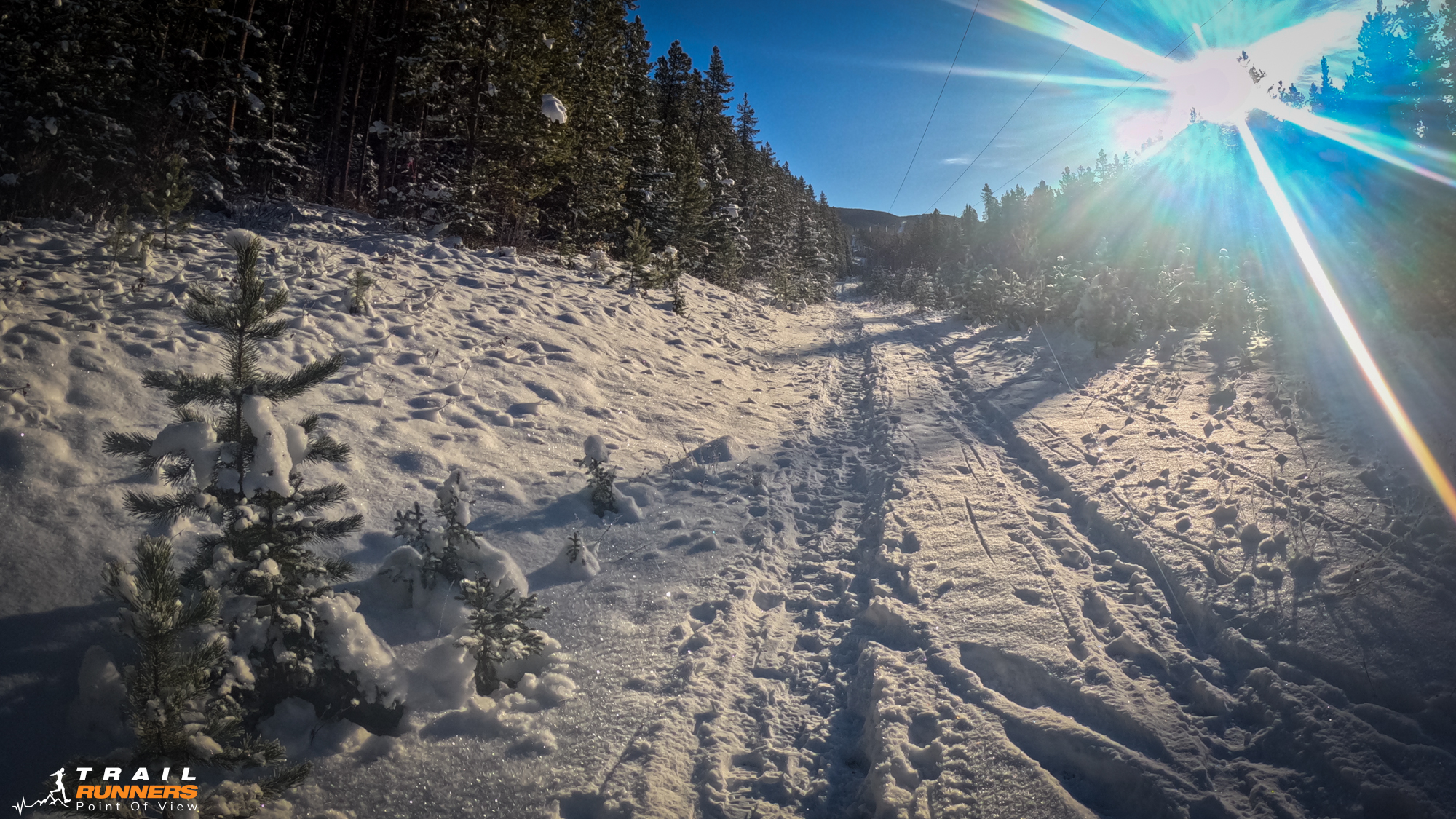
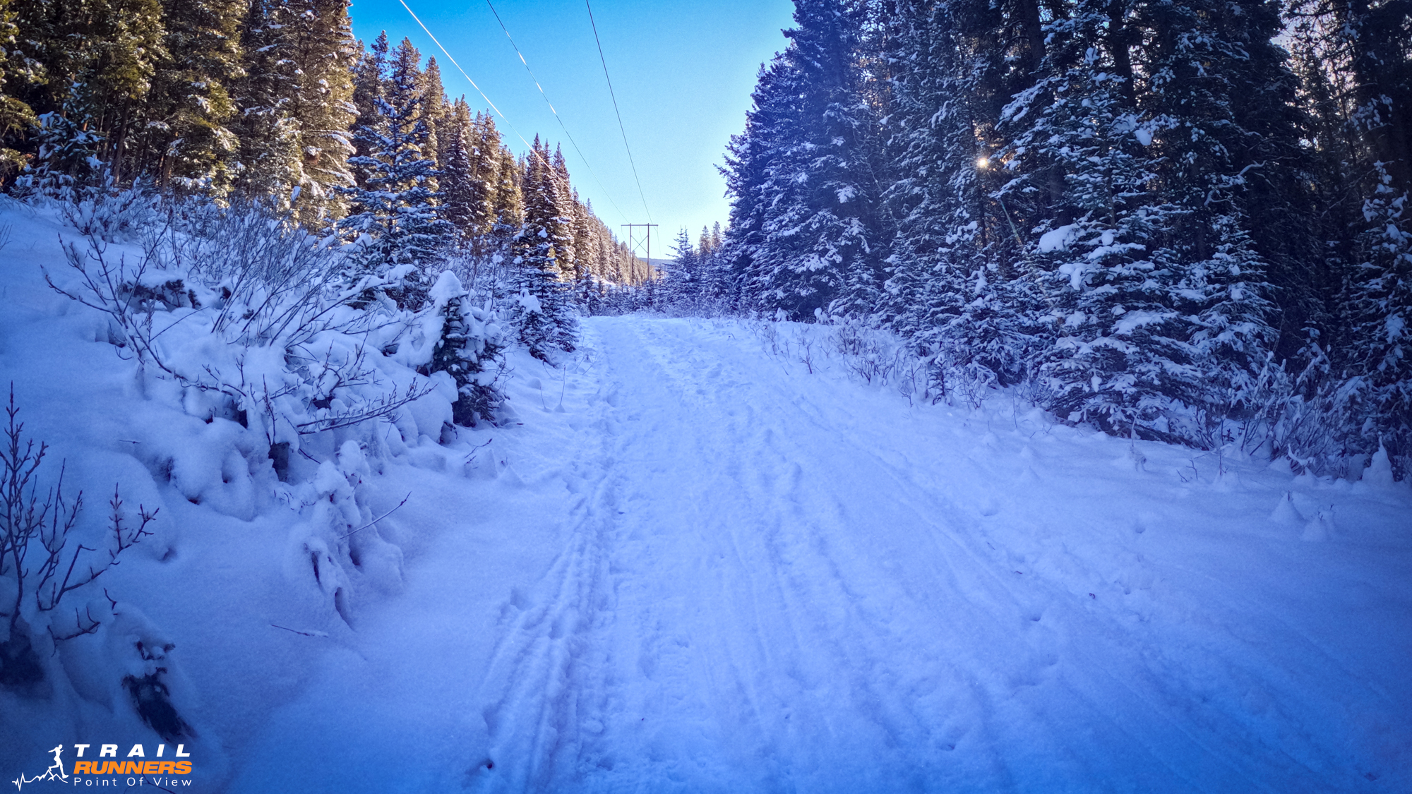
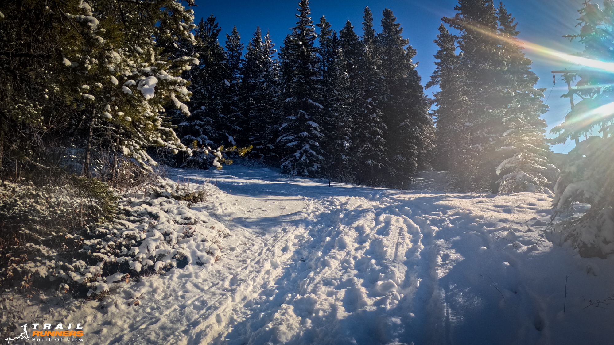
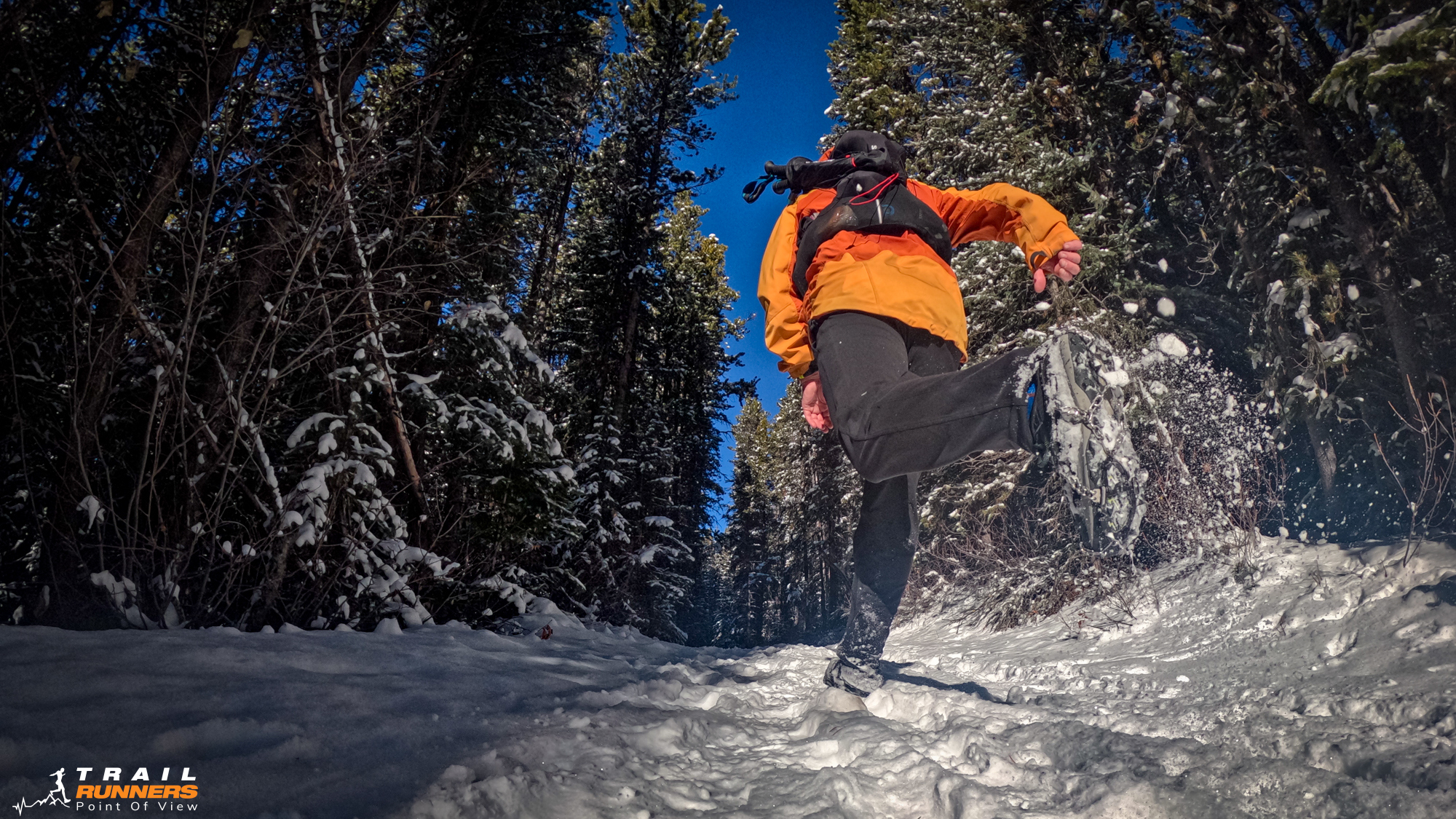
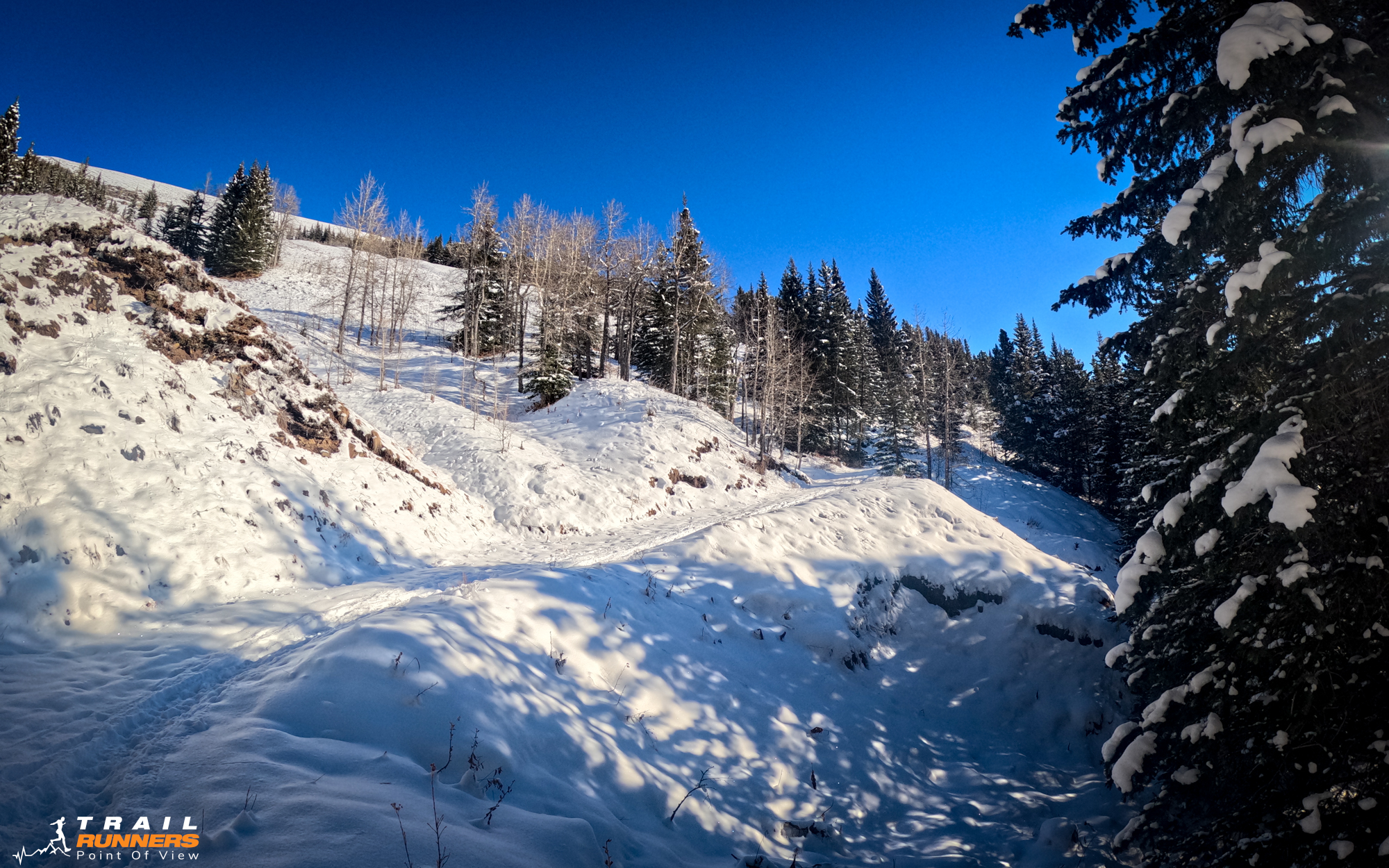
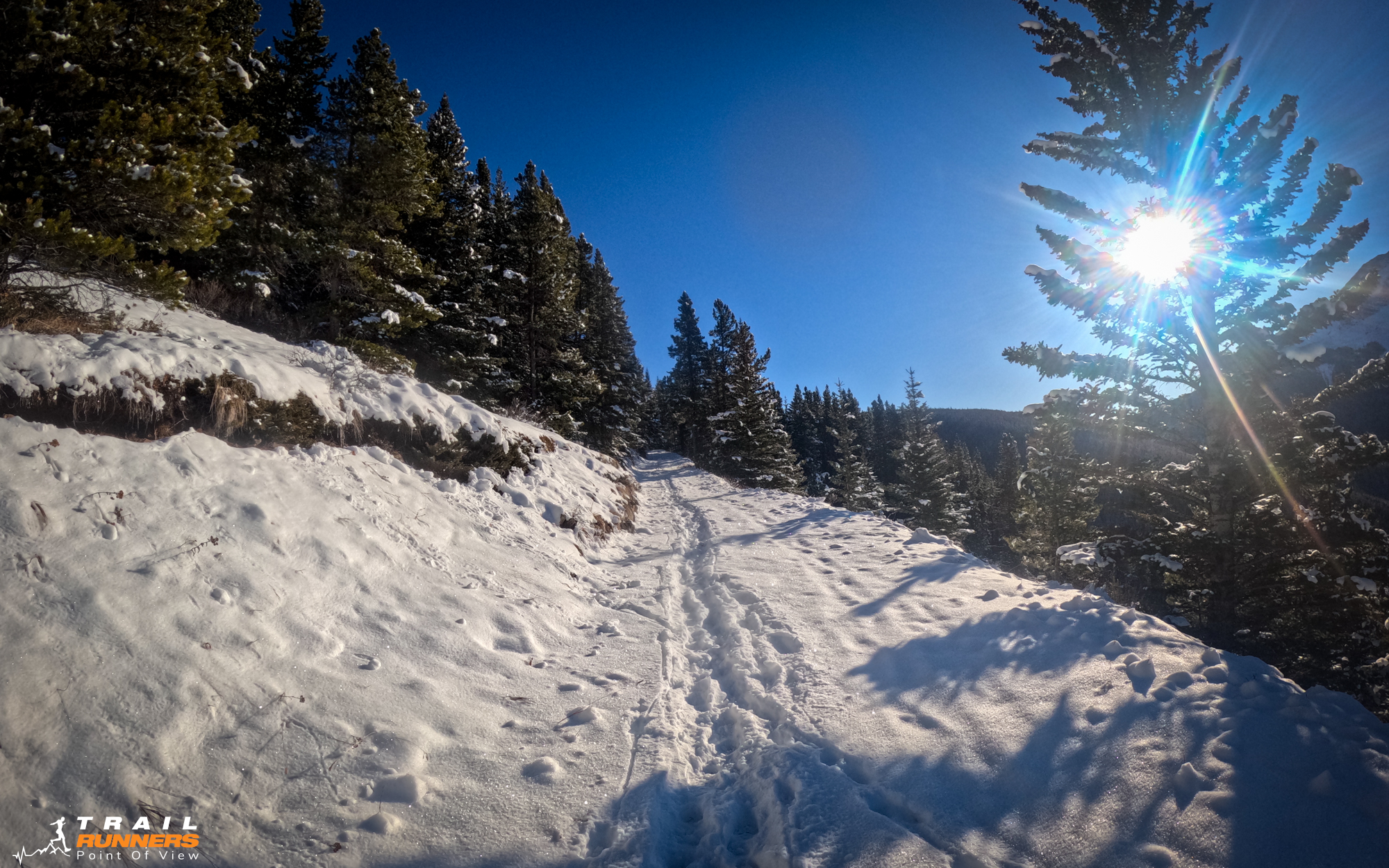
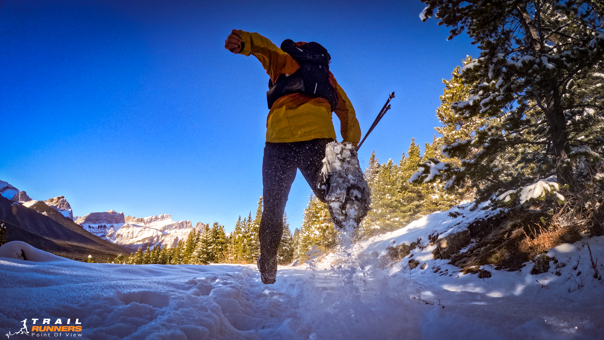
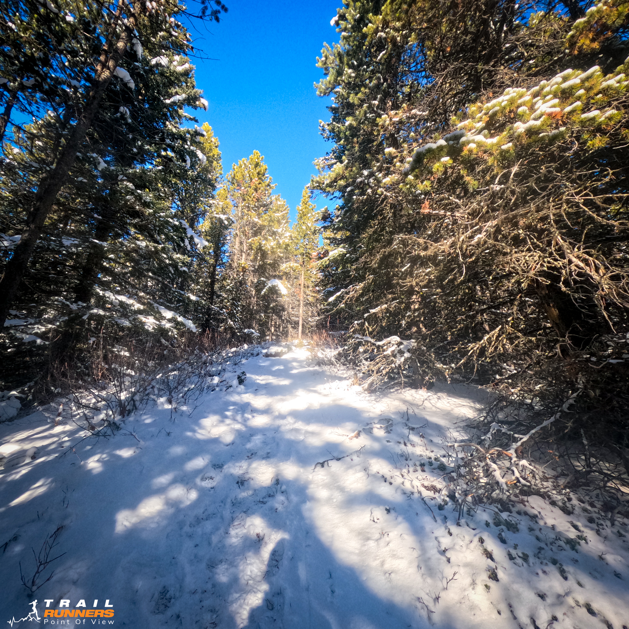
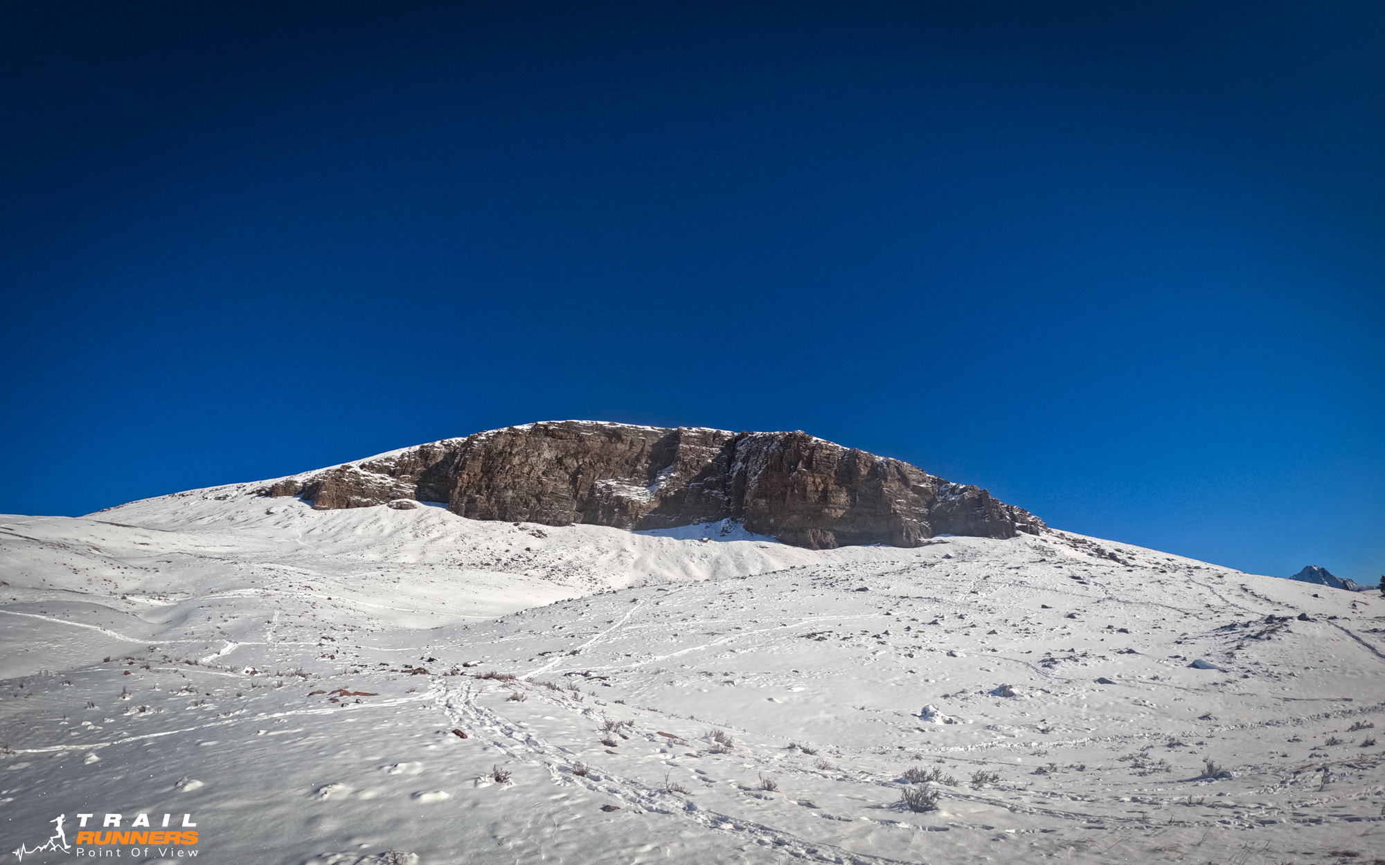
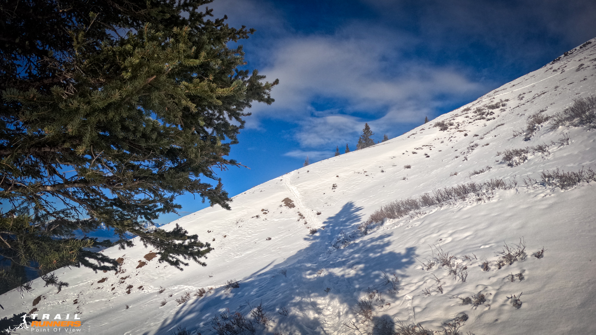
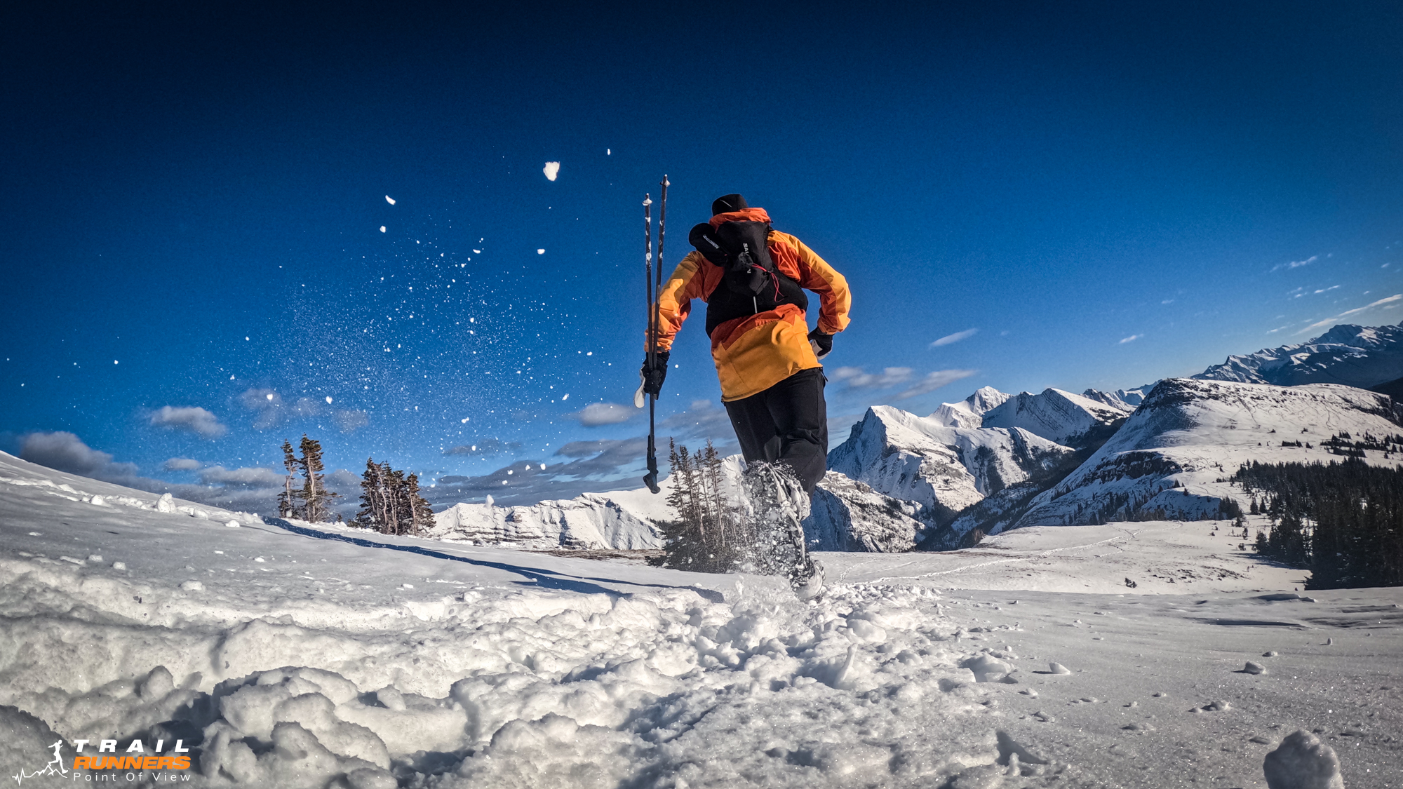
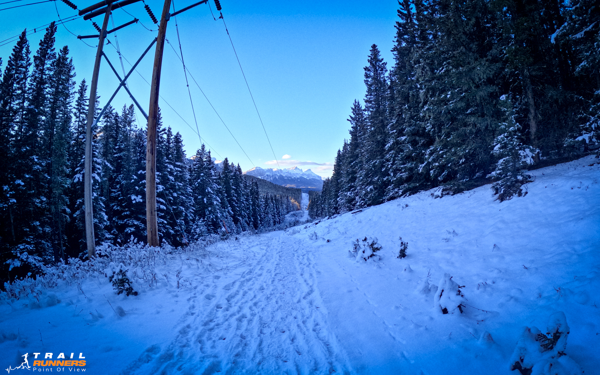
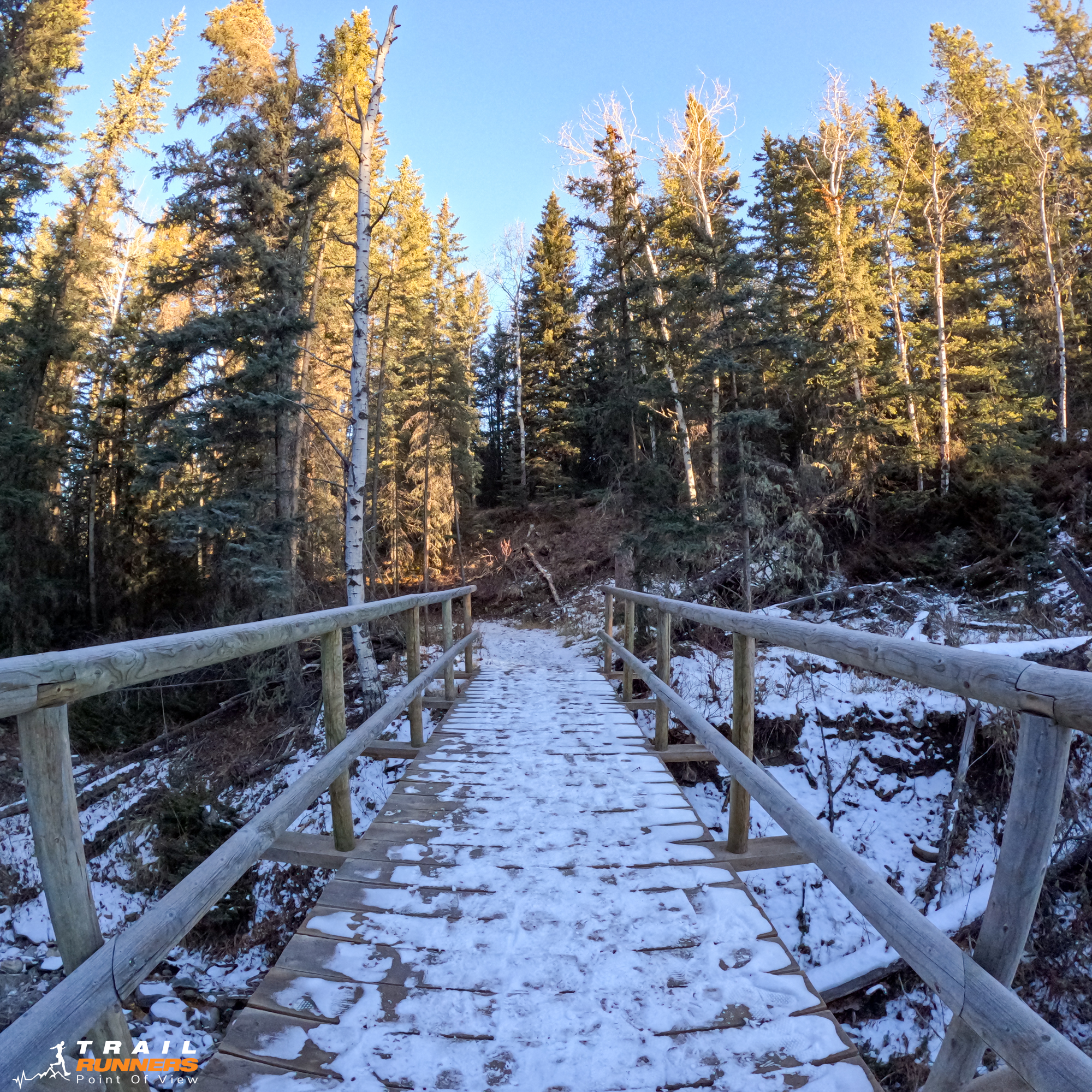
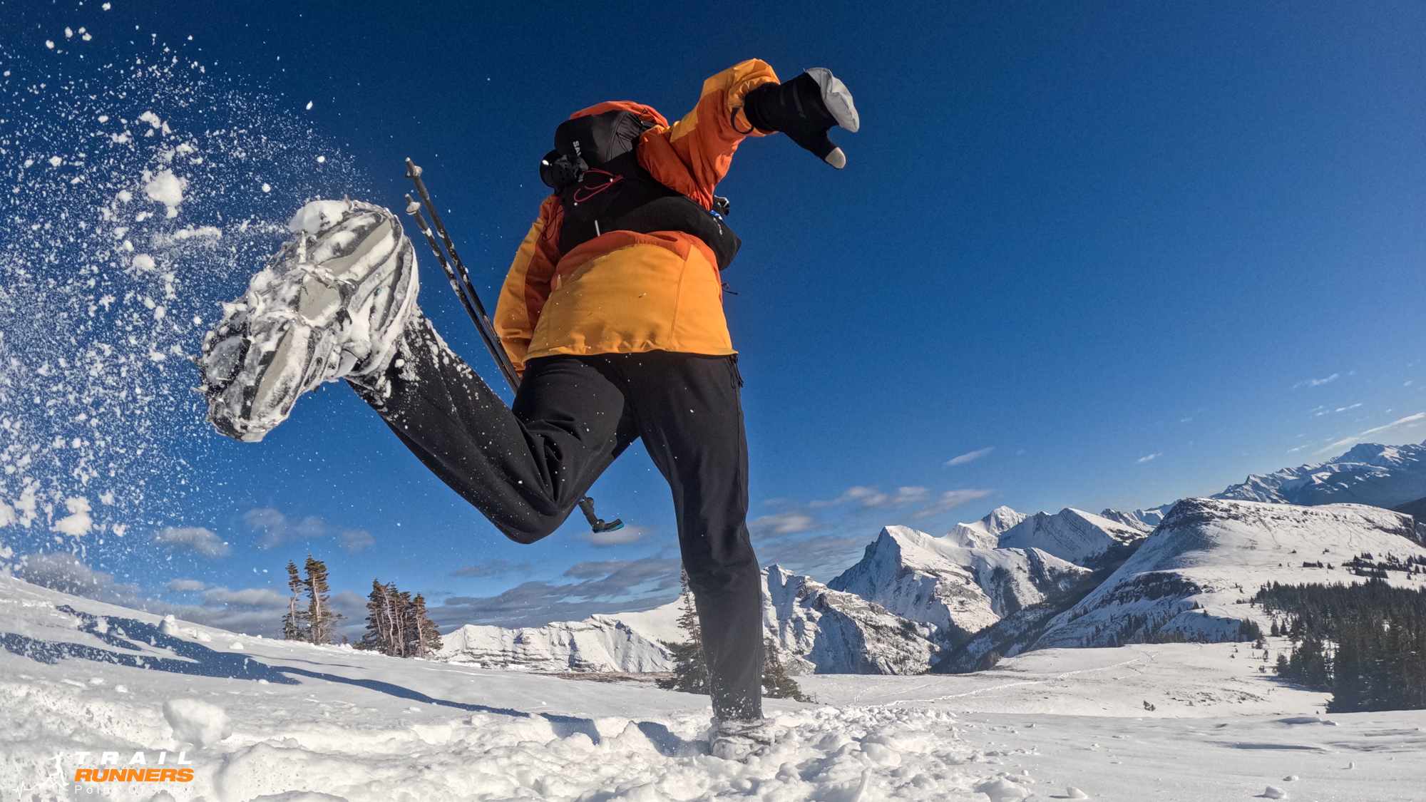
I started this one without spikes as I tend to do. I quickly reminded myself “When you have the tools, use them!” I stopped less than a kilometer out to put on the spikes and drop a layer. I had overdressed again this weekend. After leaving the parking lot you take a hard left up the cutline about 100 meters out. The grade is enough to make it challenging to run but there are a few bits you can stretch your legs out.
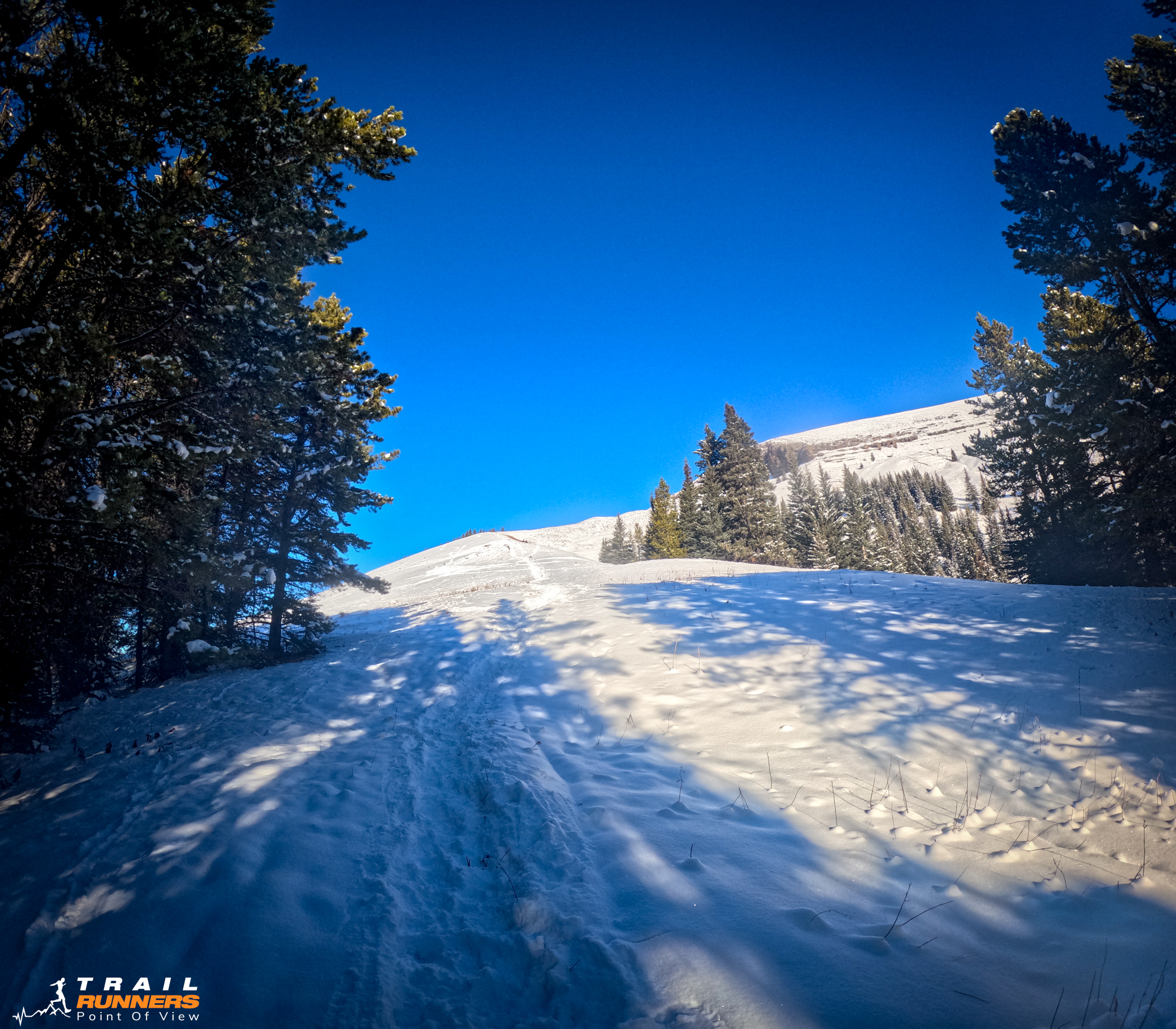
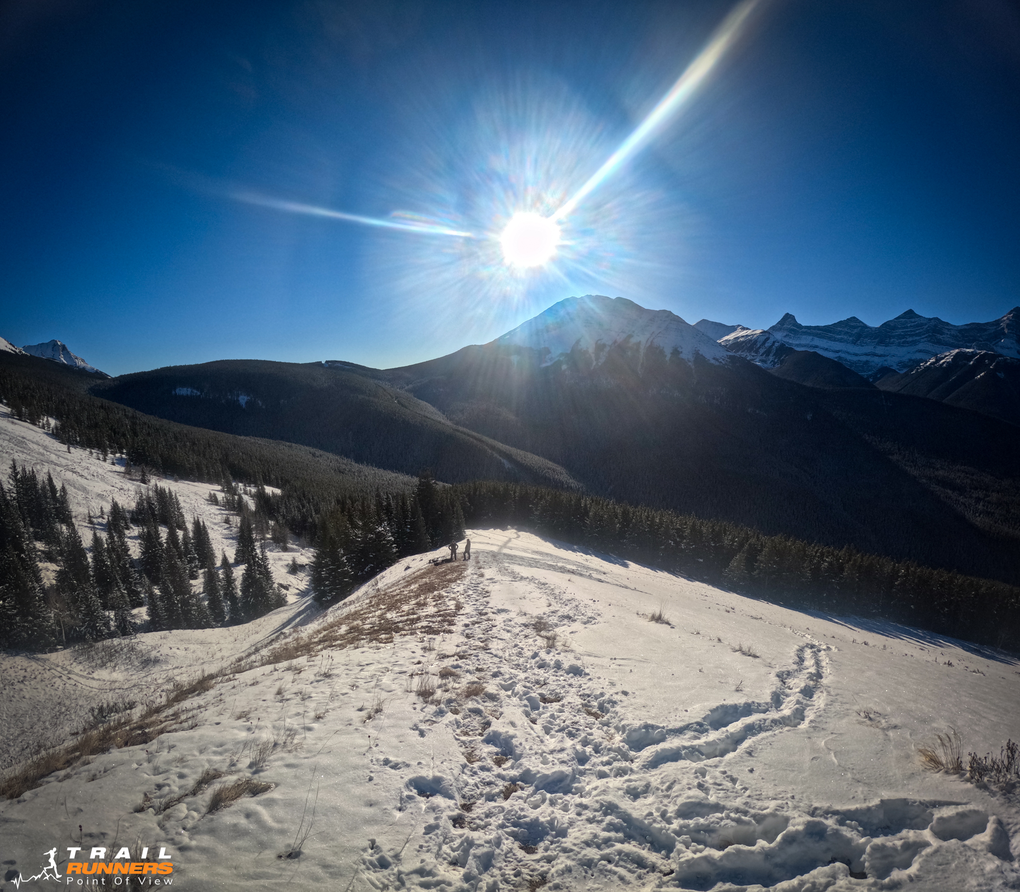
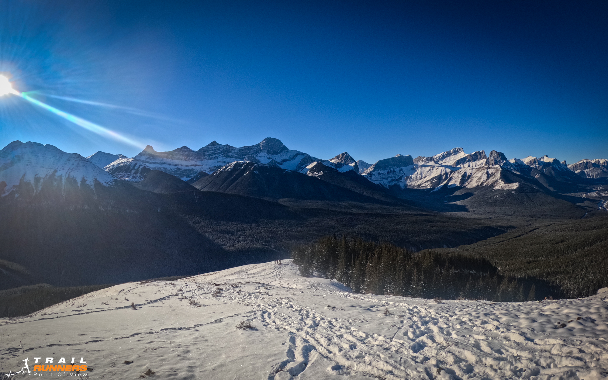
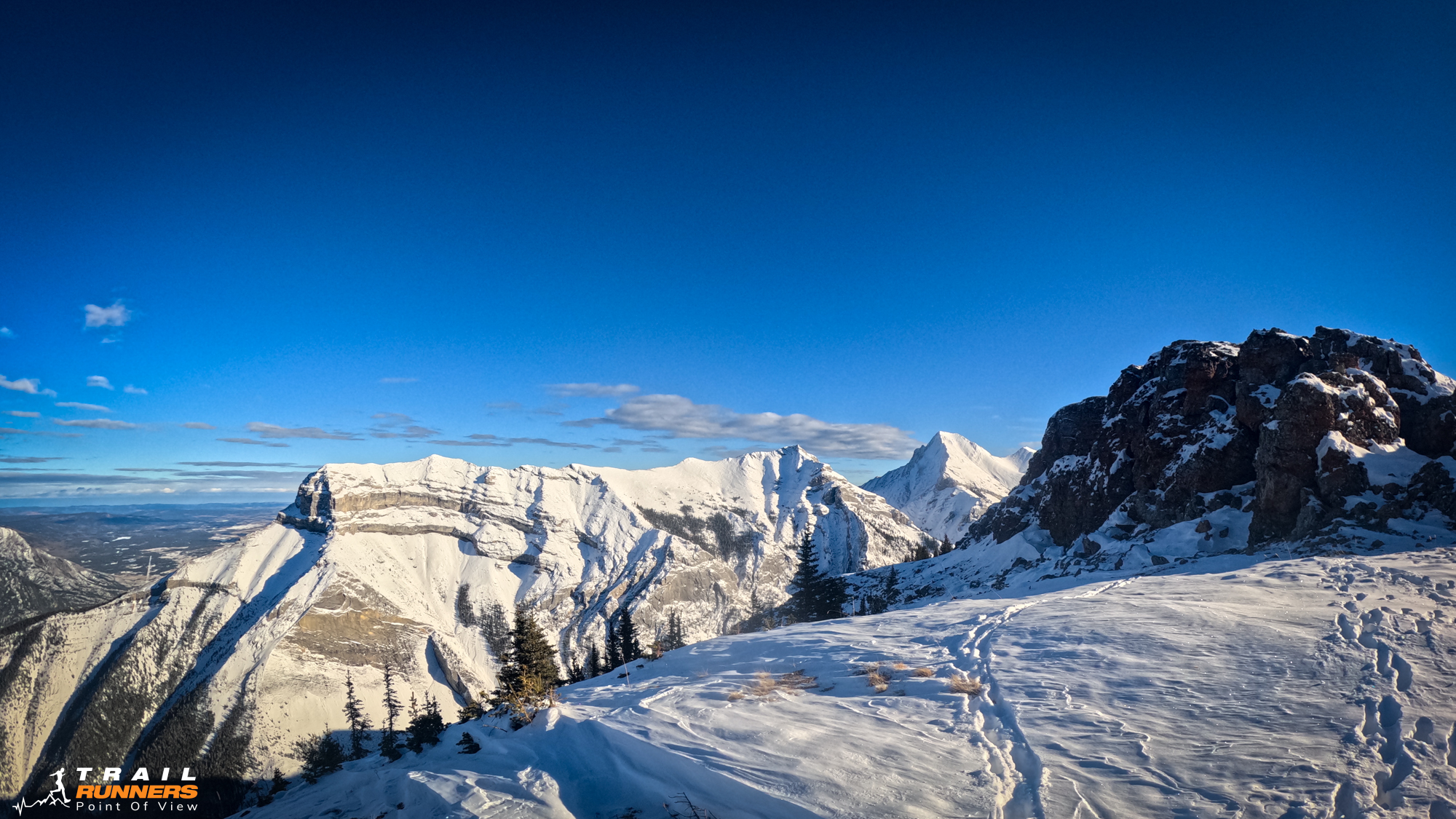
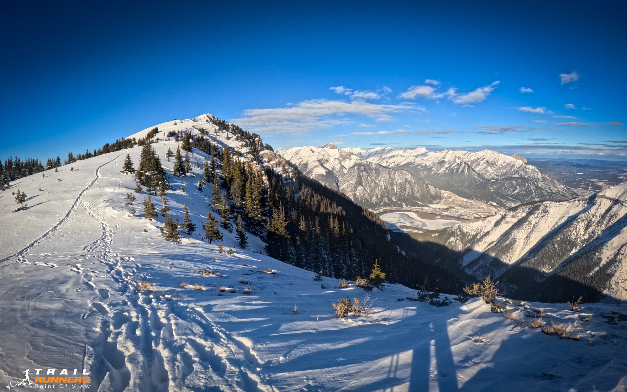
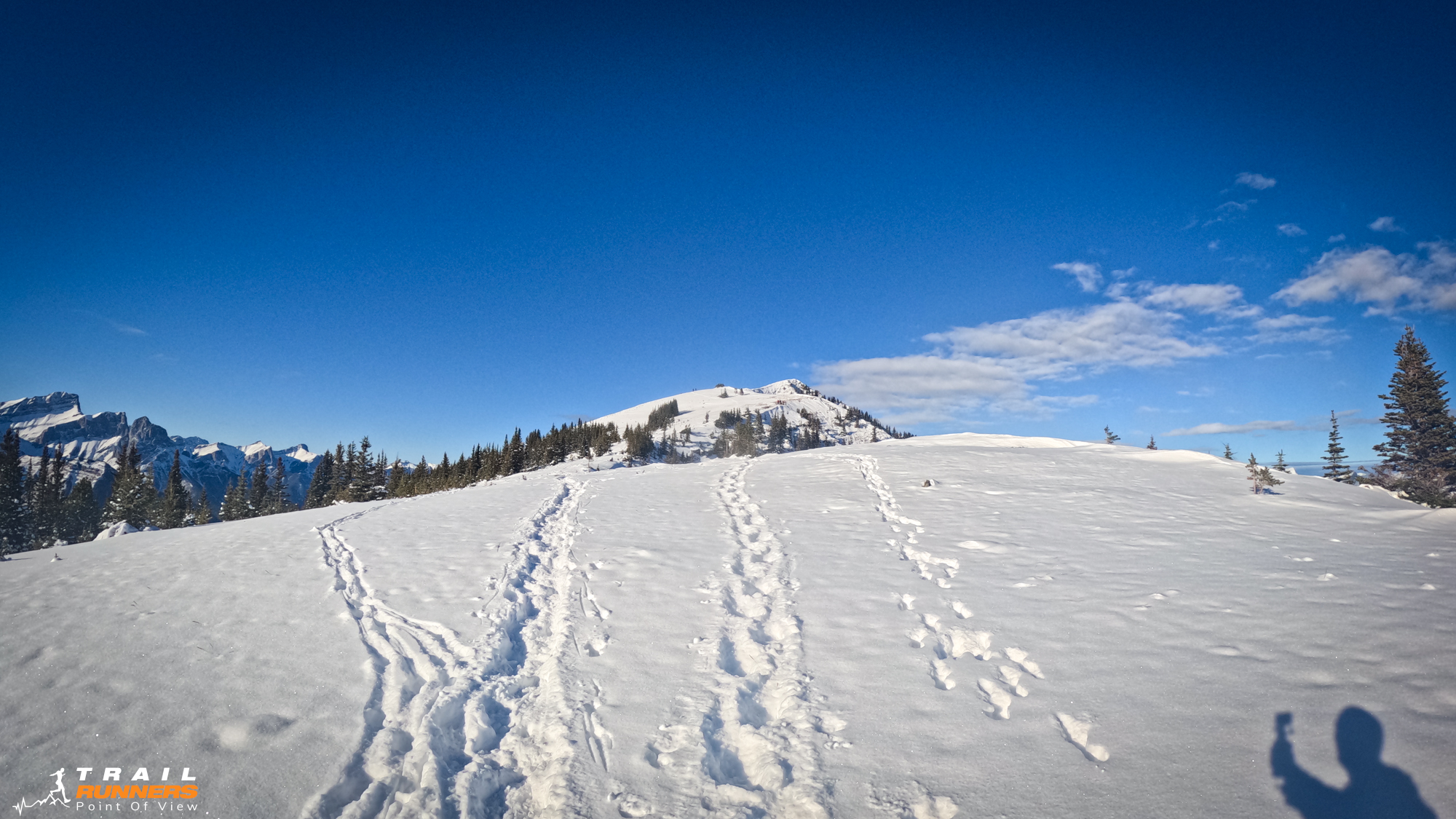
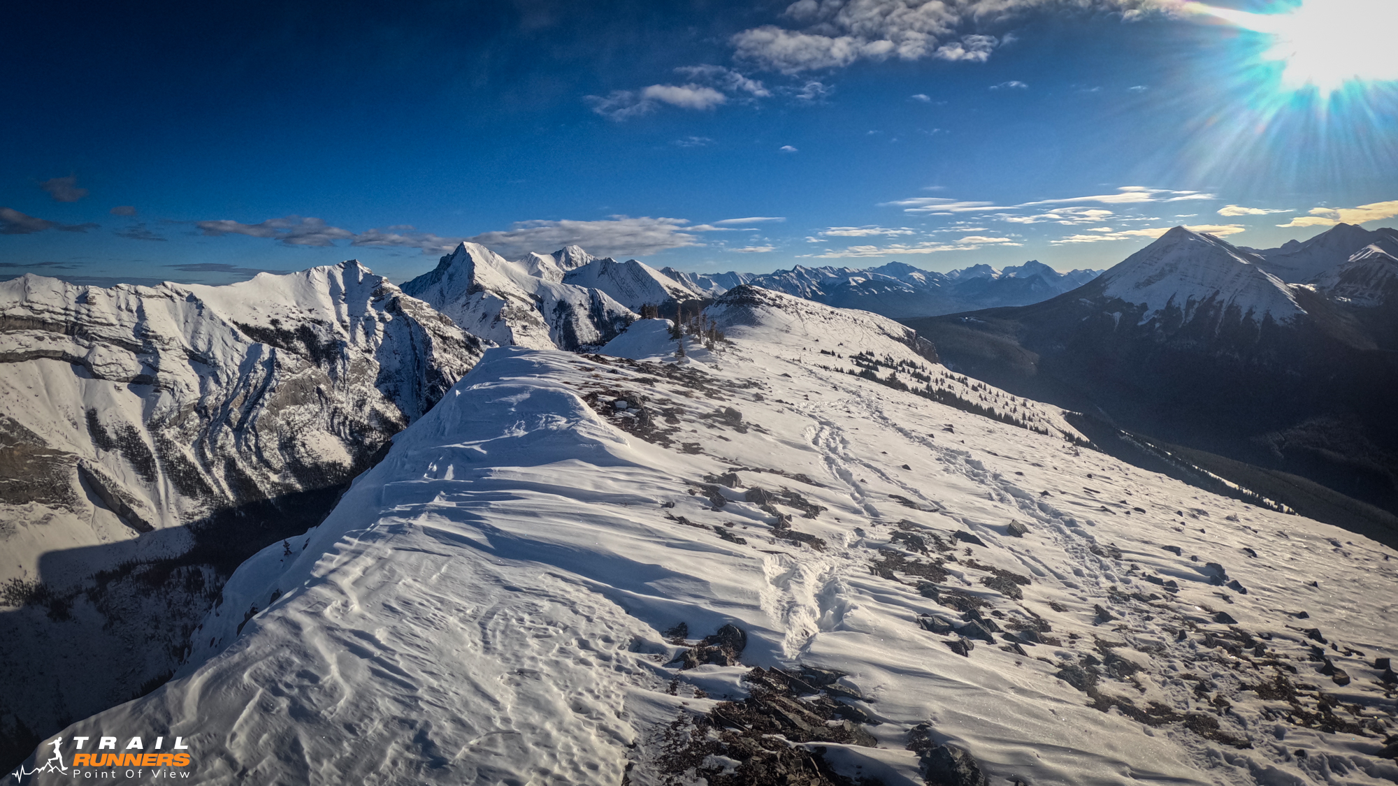
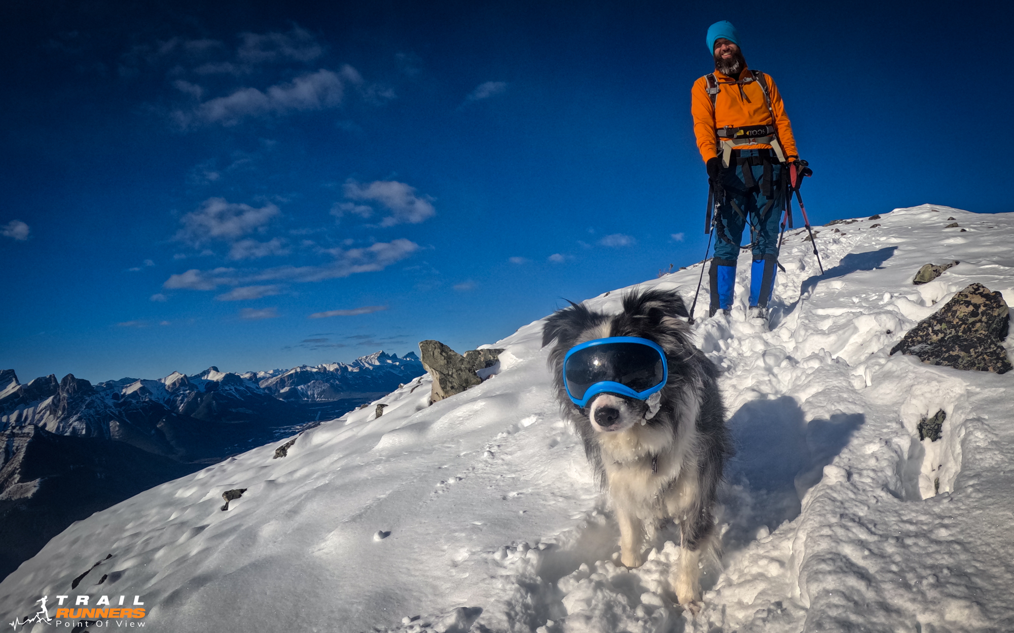
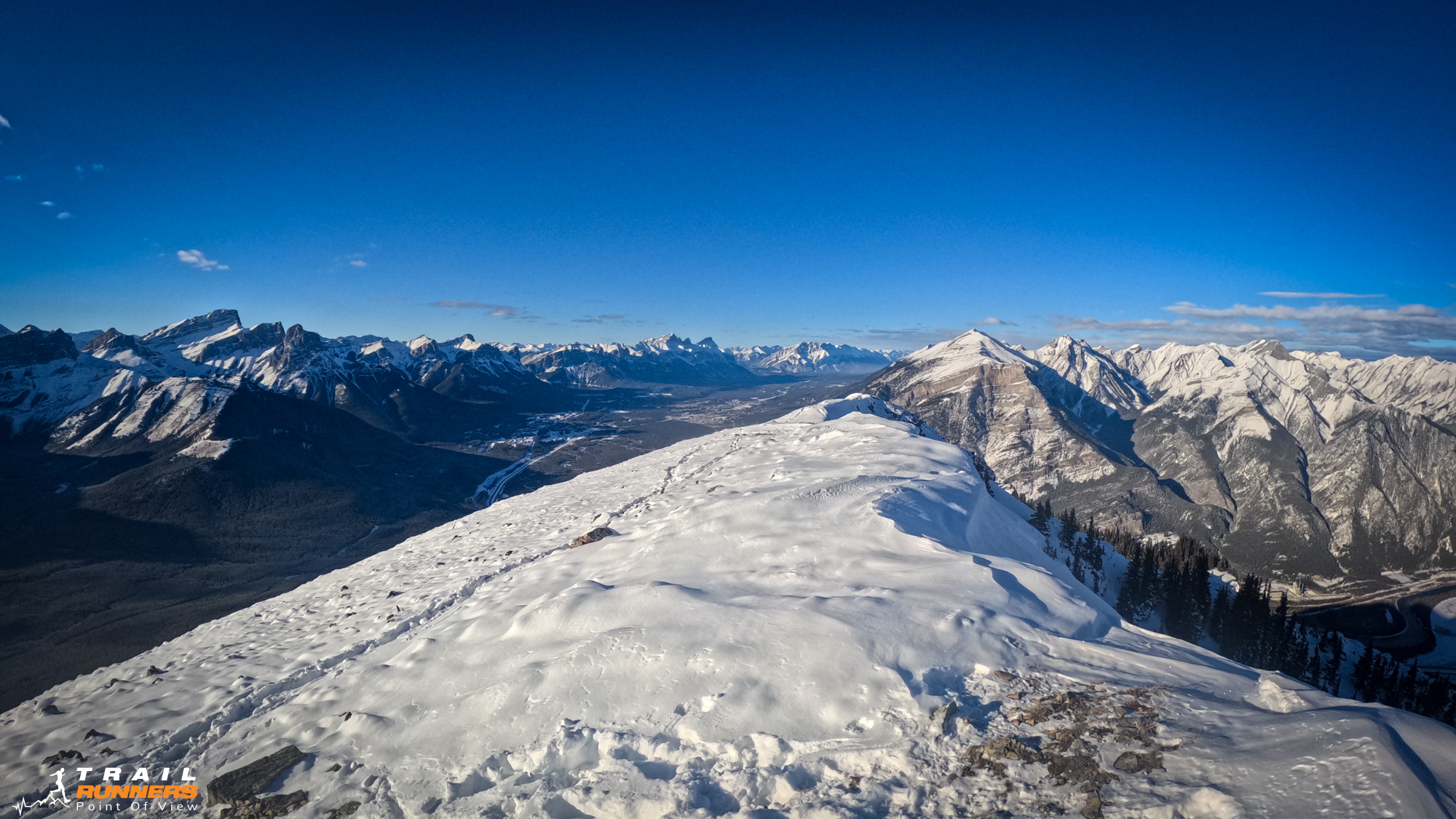
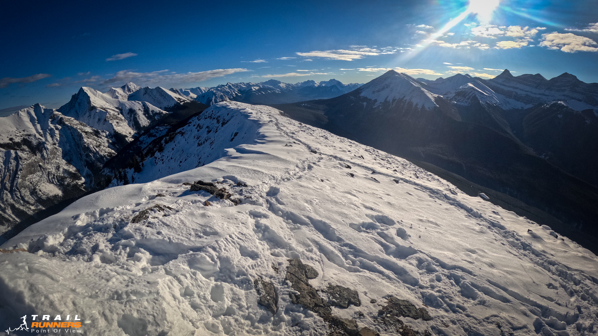
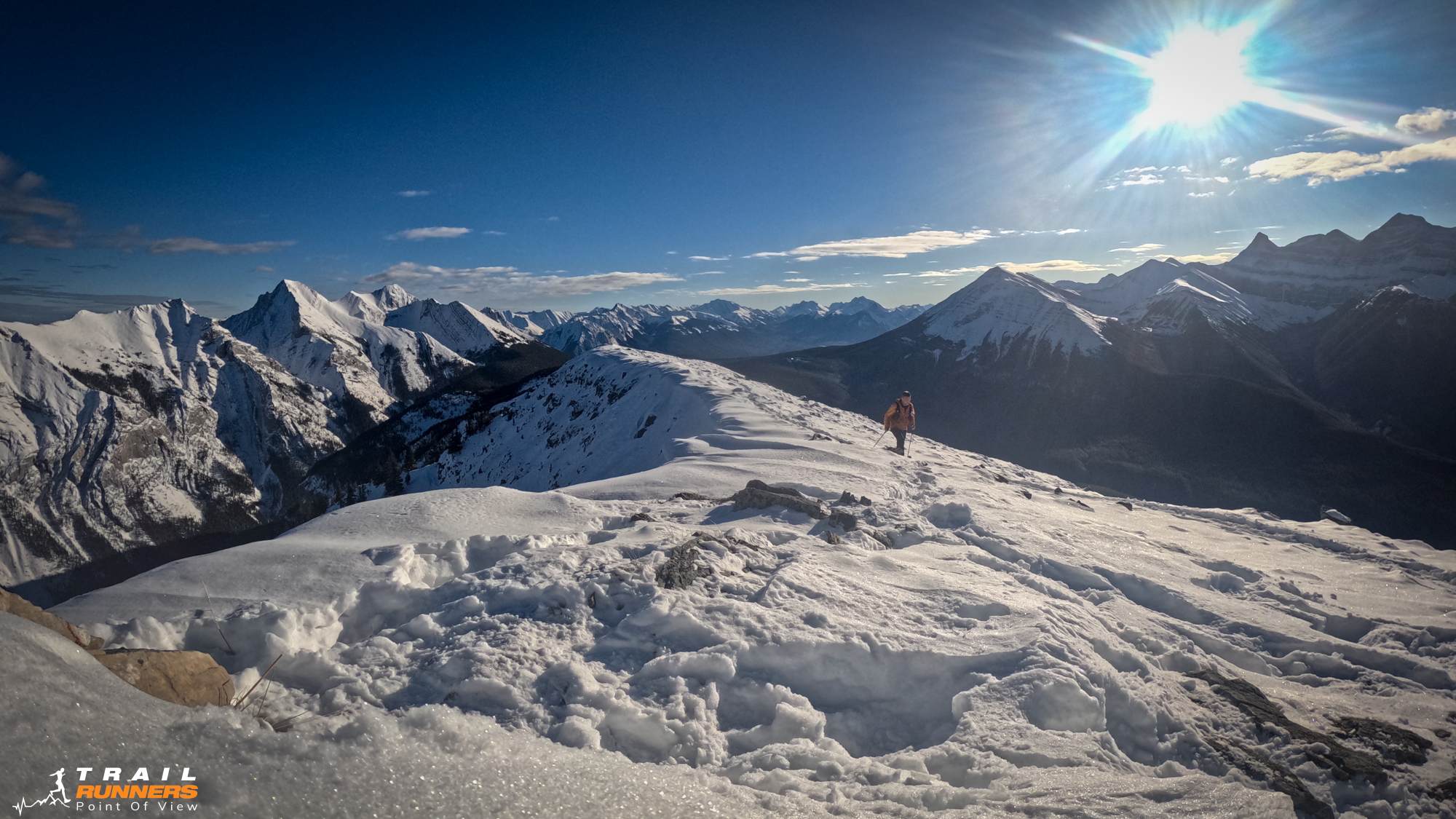
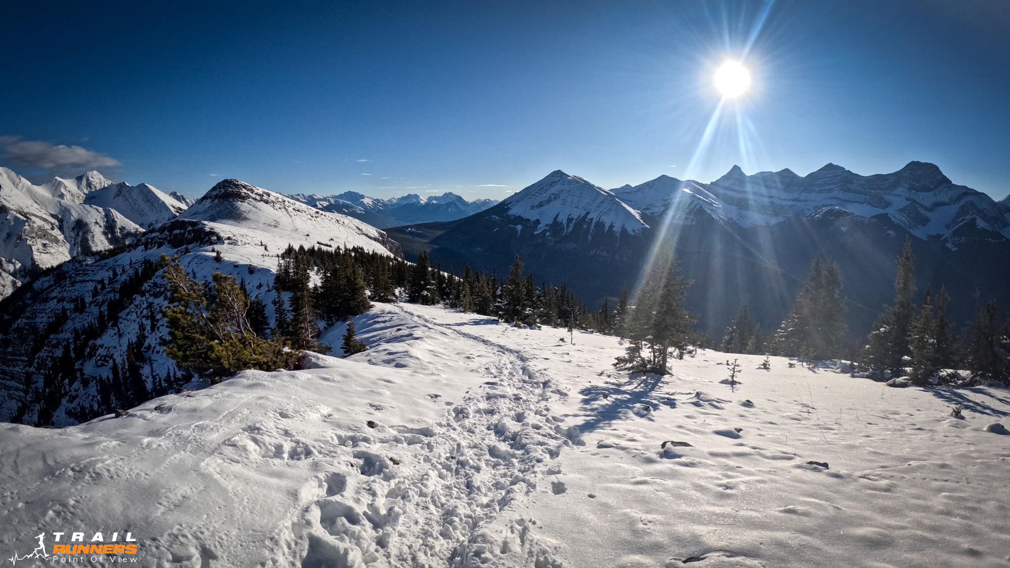
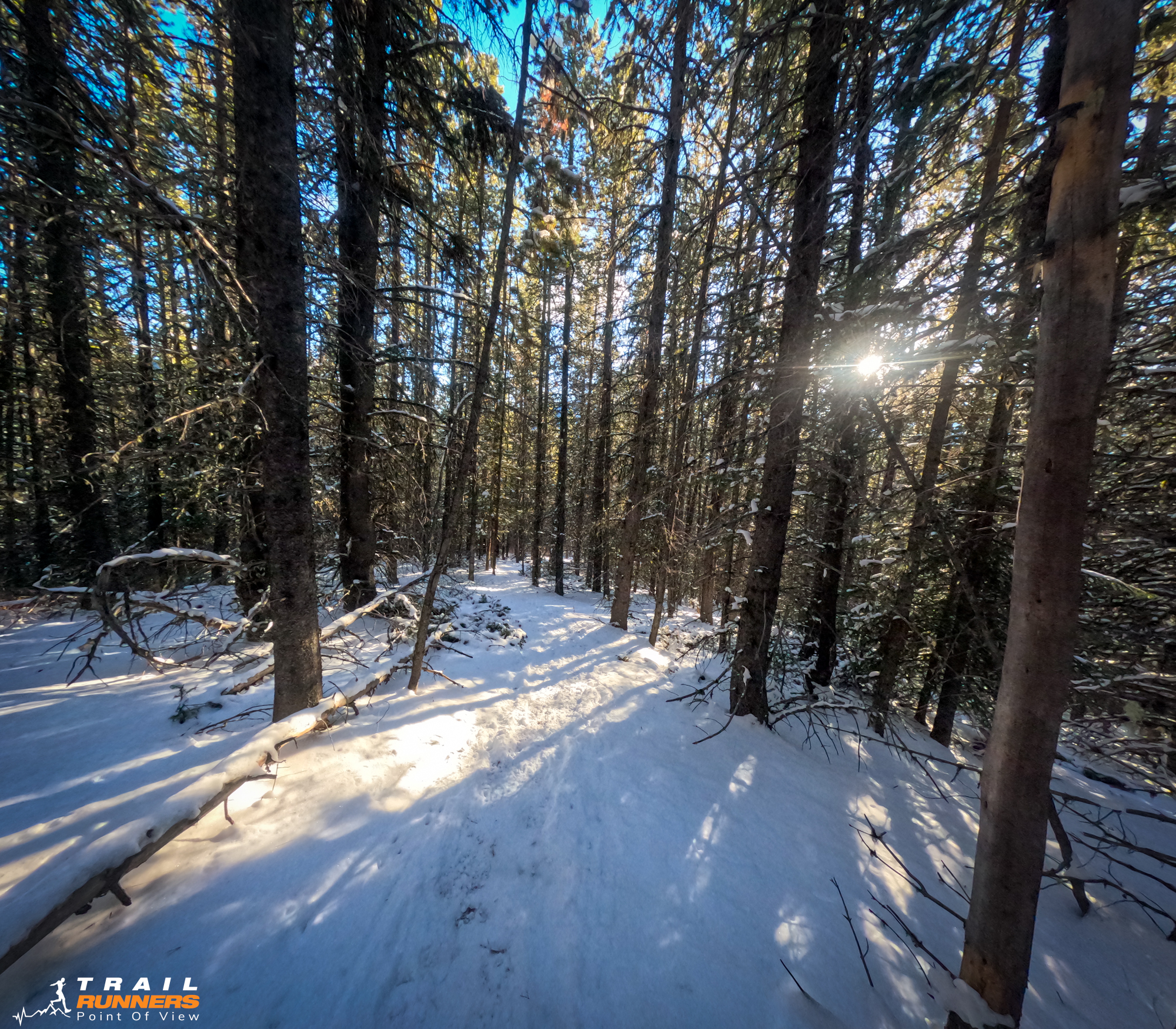
After about 4km of following the powerlines up you will take a left into the trees following a nice double wide trail. This is the Skogan Pass Track. I followed this trail up further than I should have and missed the single track turn up to Pigeon Mountain. The turn up into the trees is about 4.8km from the trailhead and easy to miss although there was a sign I should have seen. I found out after connecting with Adam (the guy with the dog in the photos) that I could have followed Skogan Pass trail and made the route a bit of a loop. If you look at my GPX on Gaia you can see a few different route options. Next time I will do the loop for sure.
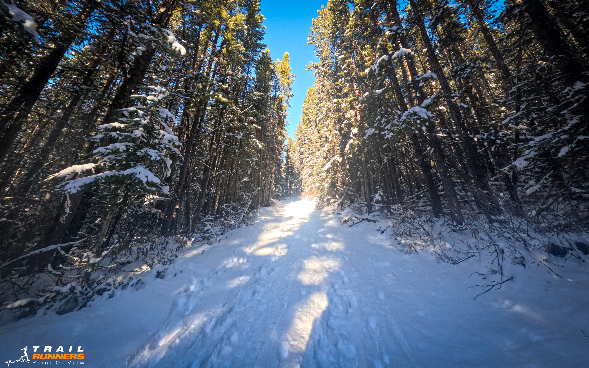
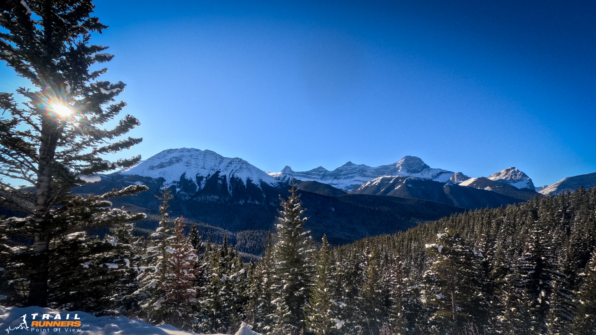
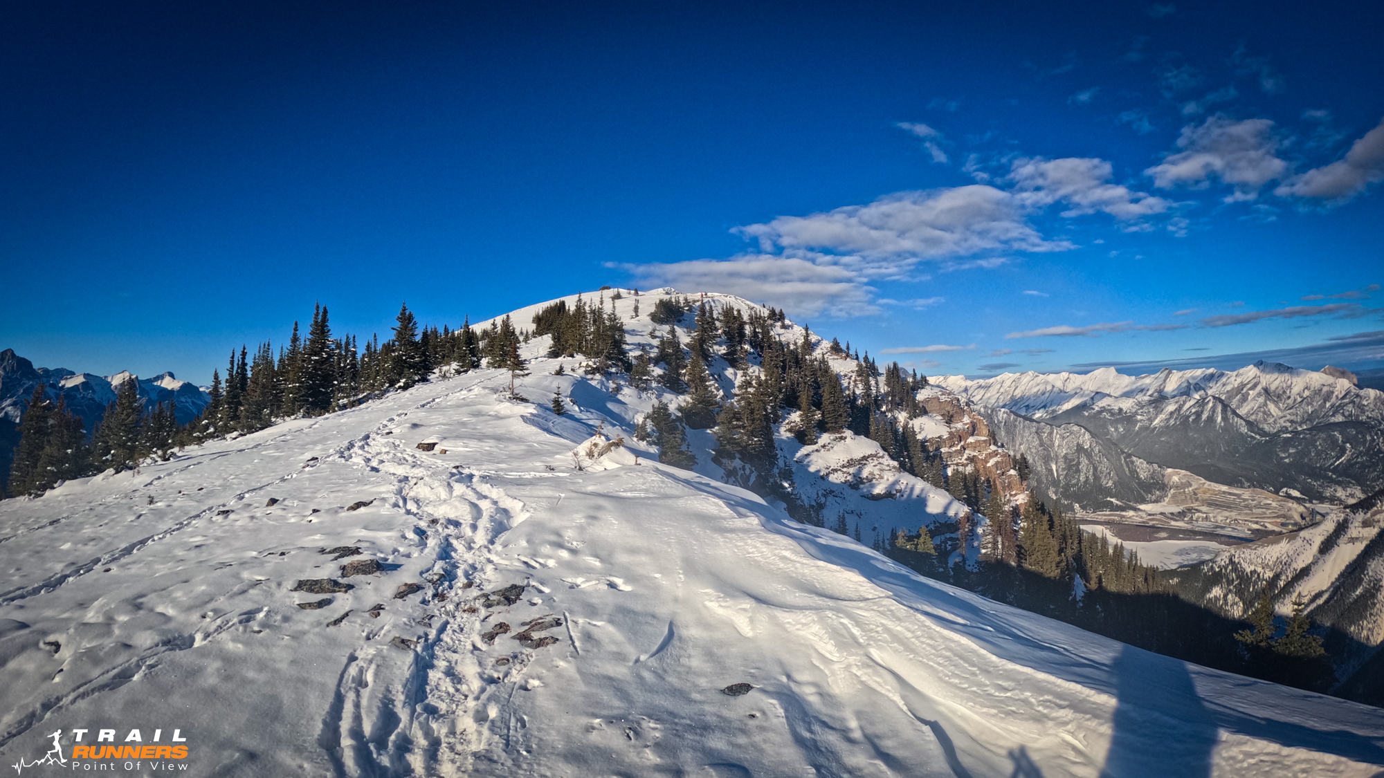
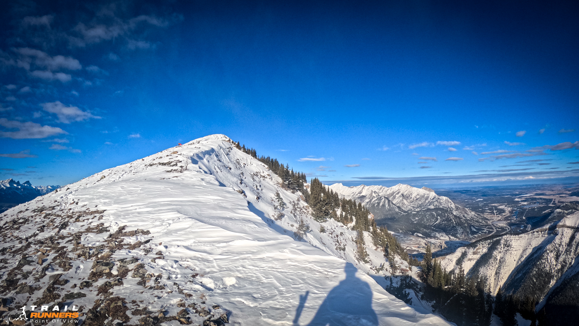
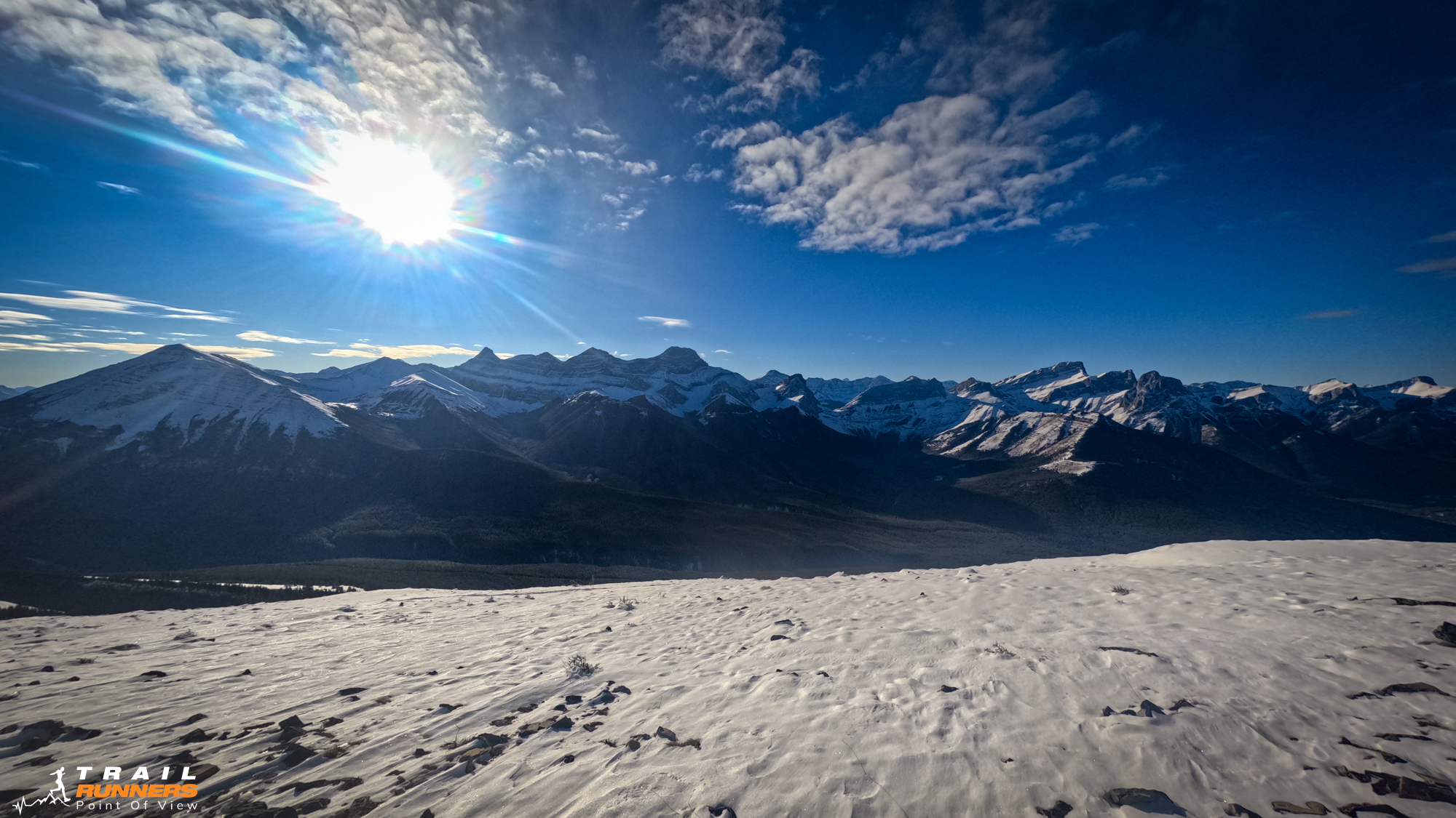
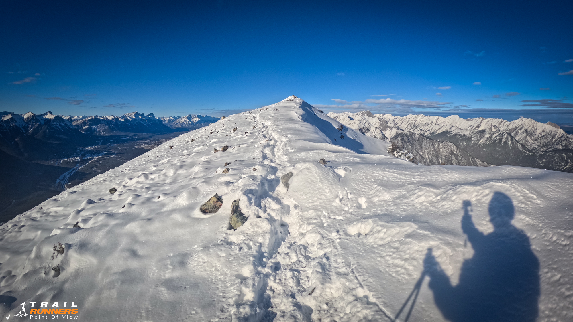
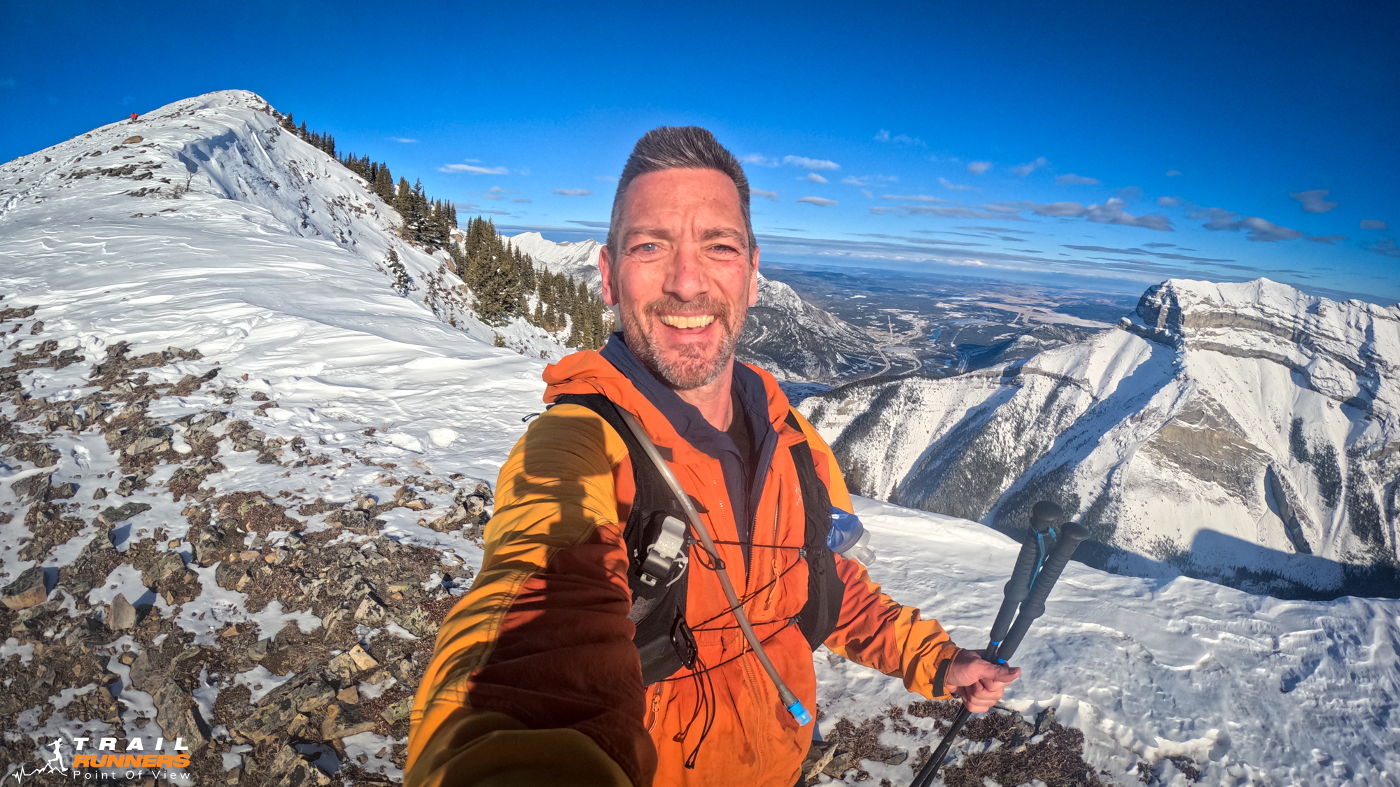
There was not a whole lot of running after that first 4km before I turned for the descent. The grade going back down was very runnable and I really enjoyed myself. It was probably more runnable with the snow as I suspect the rock underneath would have been a bit of a challenge to navigate at a run.