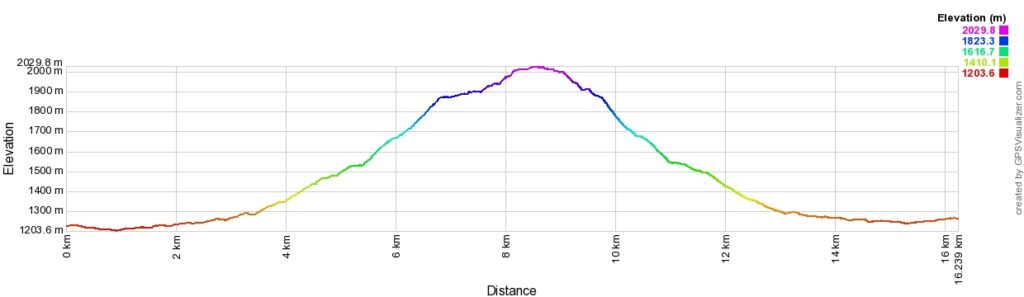
Wind Ridge Trail Elevation
The Story of Wind Ridge
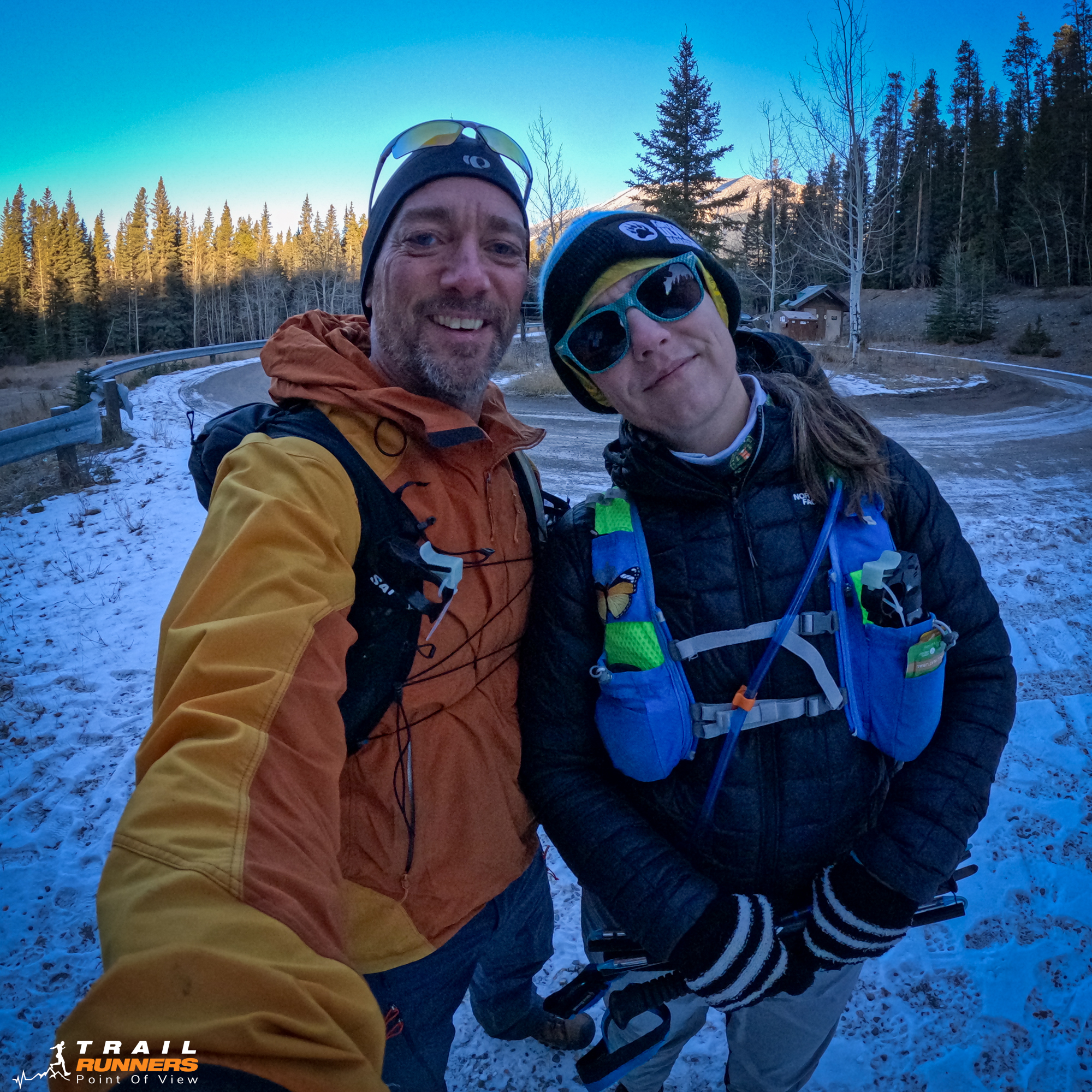
It’s Adventure Saturday and Wind Ridge Trail did not disappoint! Michelle is heading back to Edmonton this afternoon so we decided to get some time together on the trail. I don’t really know why we haven’t done this one sooner. It is 10 minutes from our door and very accessible. I suspect the reports of the strong winds kept us away.
We knew today that Wind Ridge Trail would be a hike and not a run given how late in the season it is. We thought we could get some good beta for next spring.
From ChatGPT
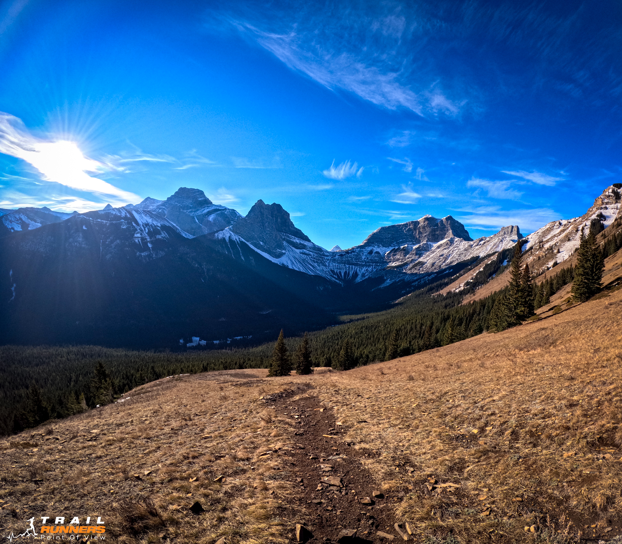
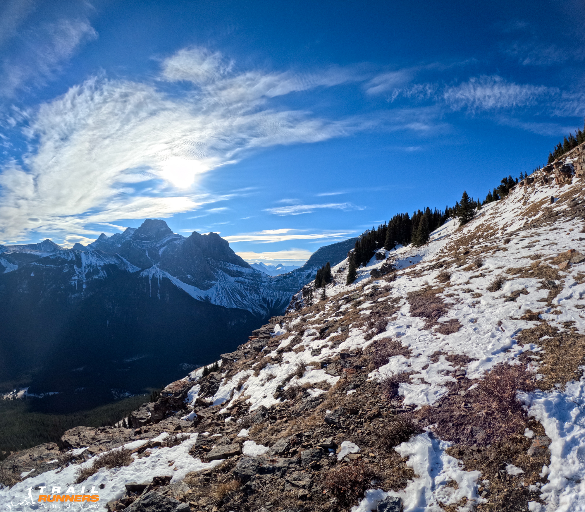
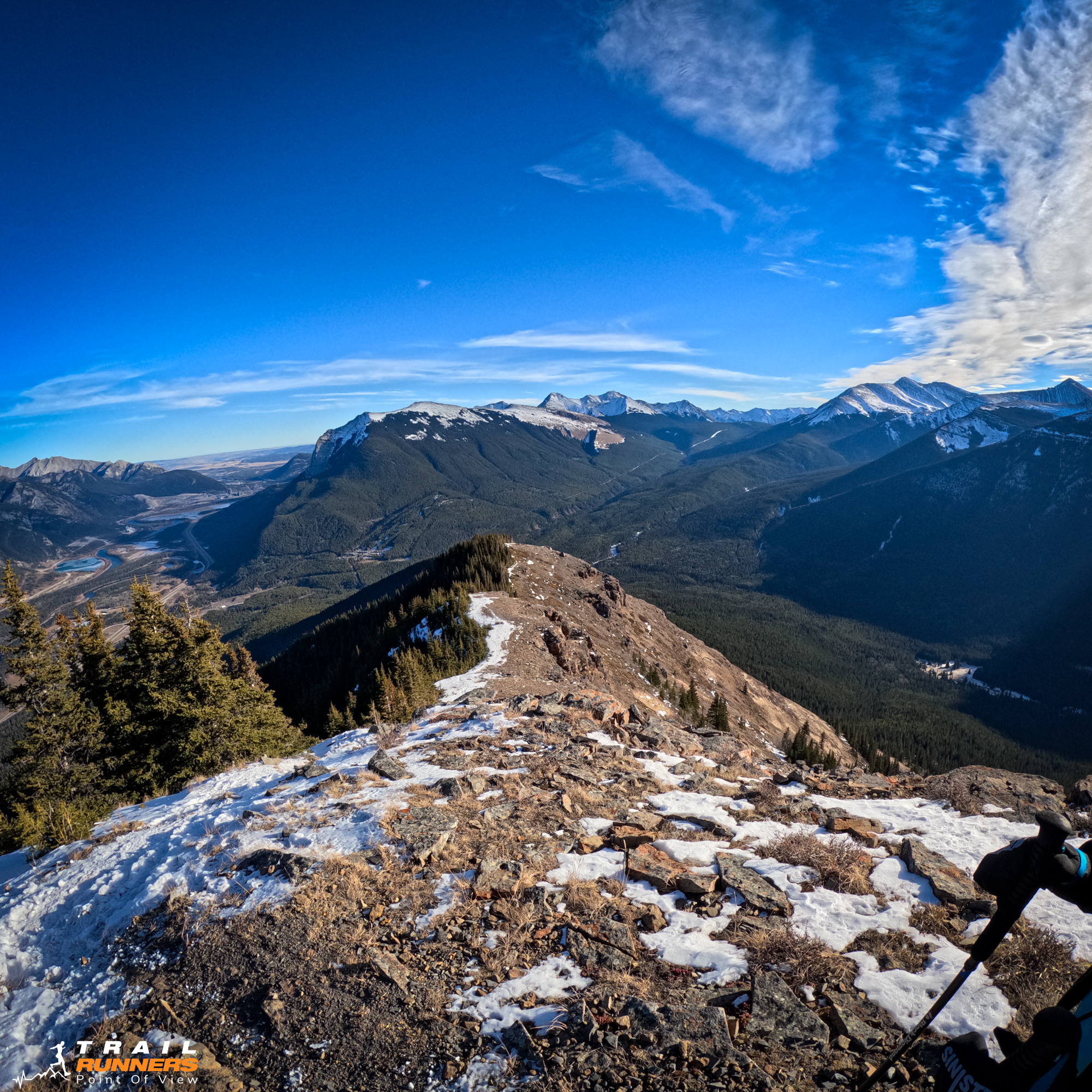
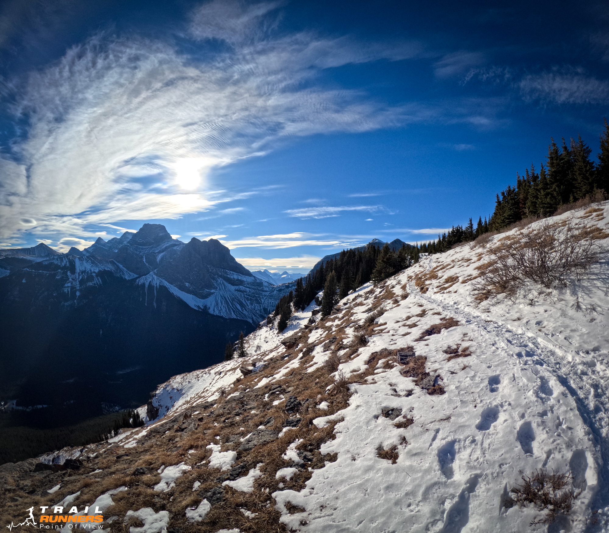
Renowned for its breathtaking panoramic views, the trail leads adventurers through varied landscapes including dense forests, meandering streams, and open meadows. As hikers ascend, they are rewarded with stunning vistas of the Bow Valley and surrounding mountain ranges. The trail’s namesake, ‘Wind Ridge’, aptly reflects the gusty conditions often encountered at higher elevations, adding an invigorating element to the hike. This trail is a favorite among nature enthusiasts for its diverse flora and fauna, and the opportunity to witness the serene beauty of Alberta’s wilderness.
Getting There
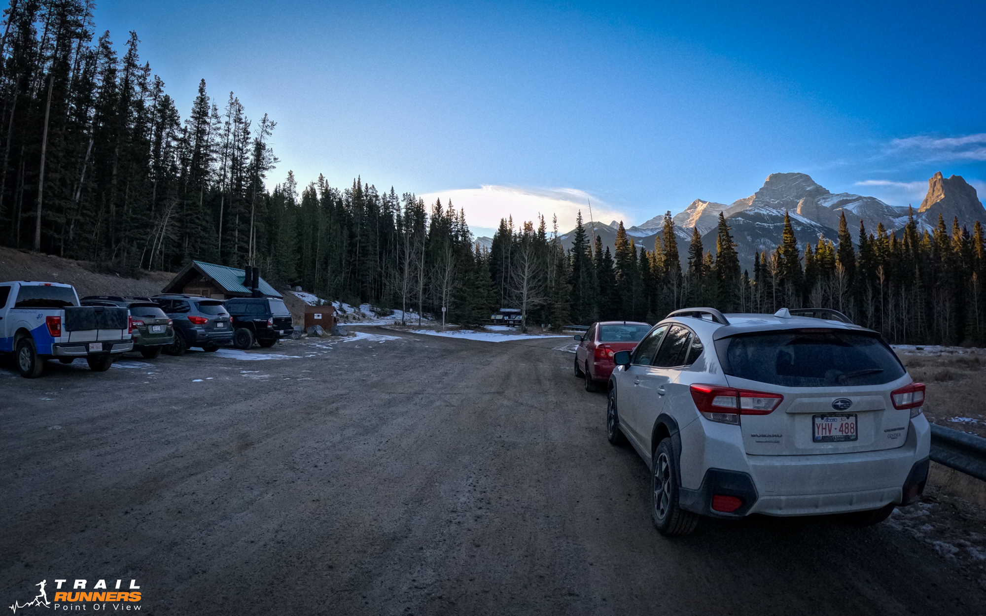
The Wind Ridge Trail parking lot is just off Highway 1 at the Dead Man’s Flats exit. Drive South up George Biggy Sr. Road. The parking lot is to the right at the top with Banff Gate Mountain Resort on the left. You can’t miss it. The parking lot is not very large so I imaging in the summer it would fill up fast. Google Maps Directions Here.
Runnability
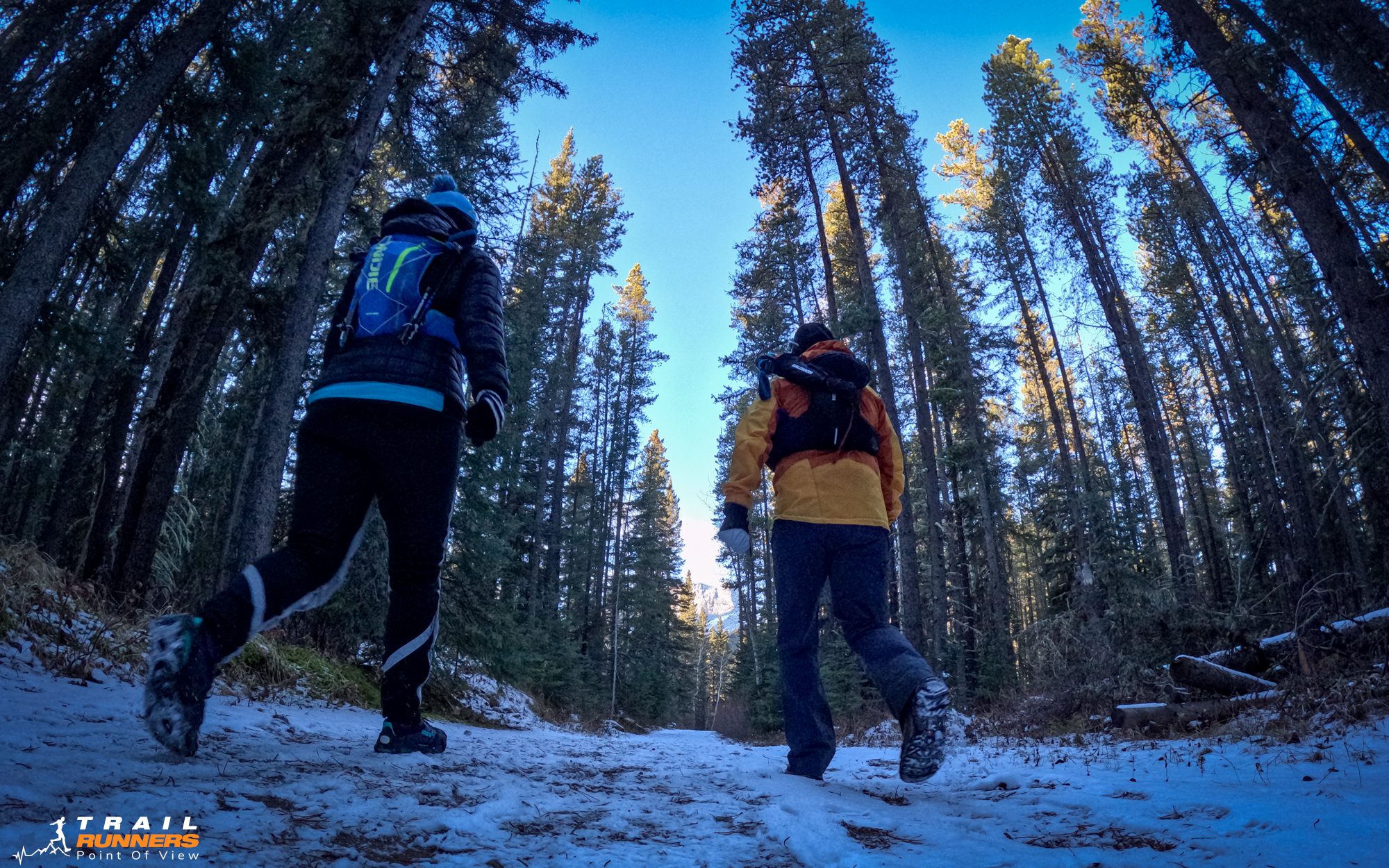
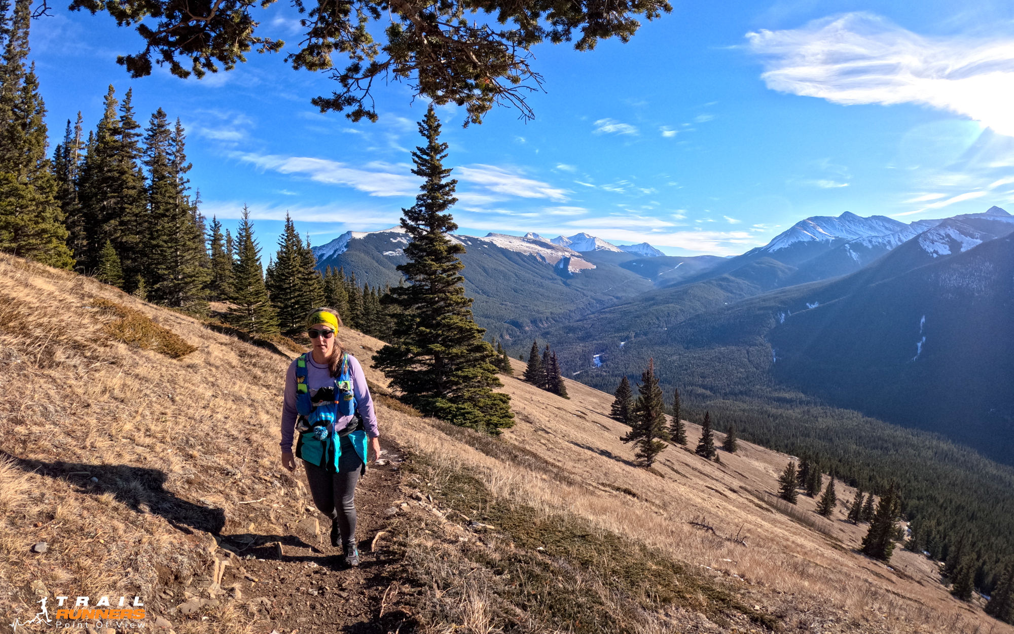
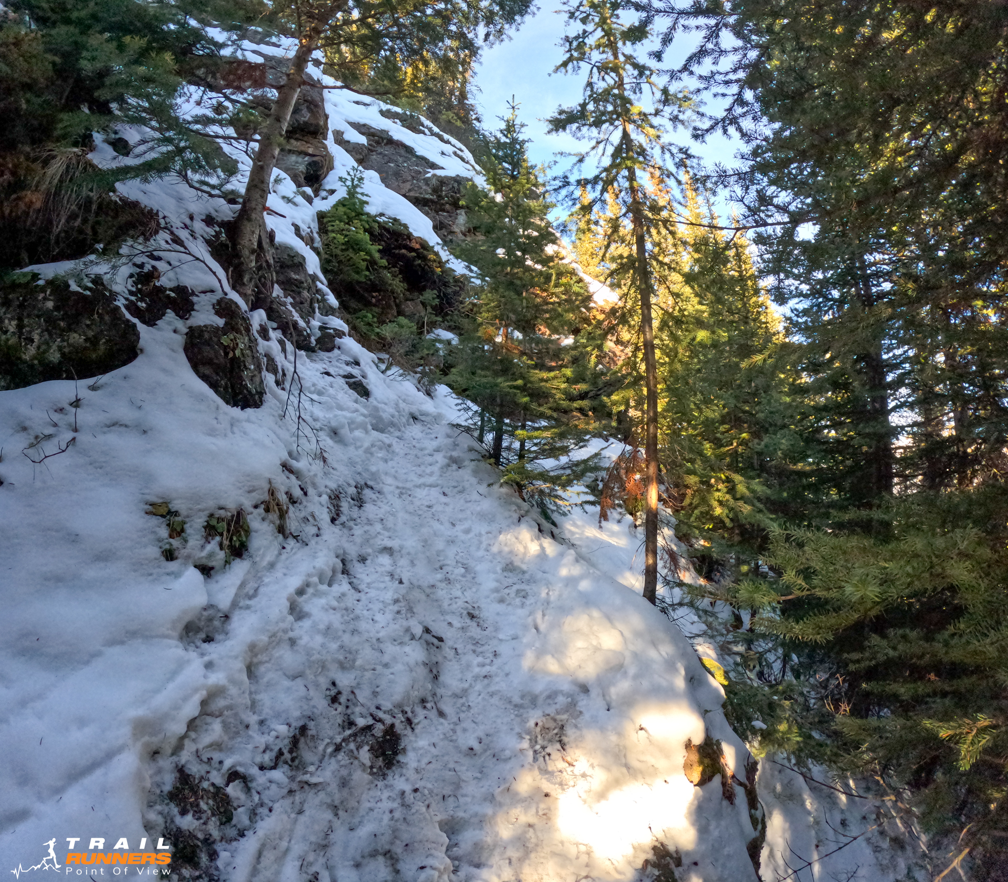
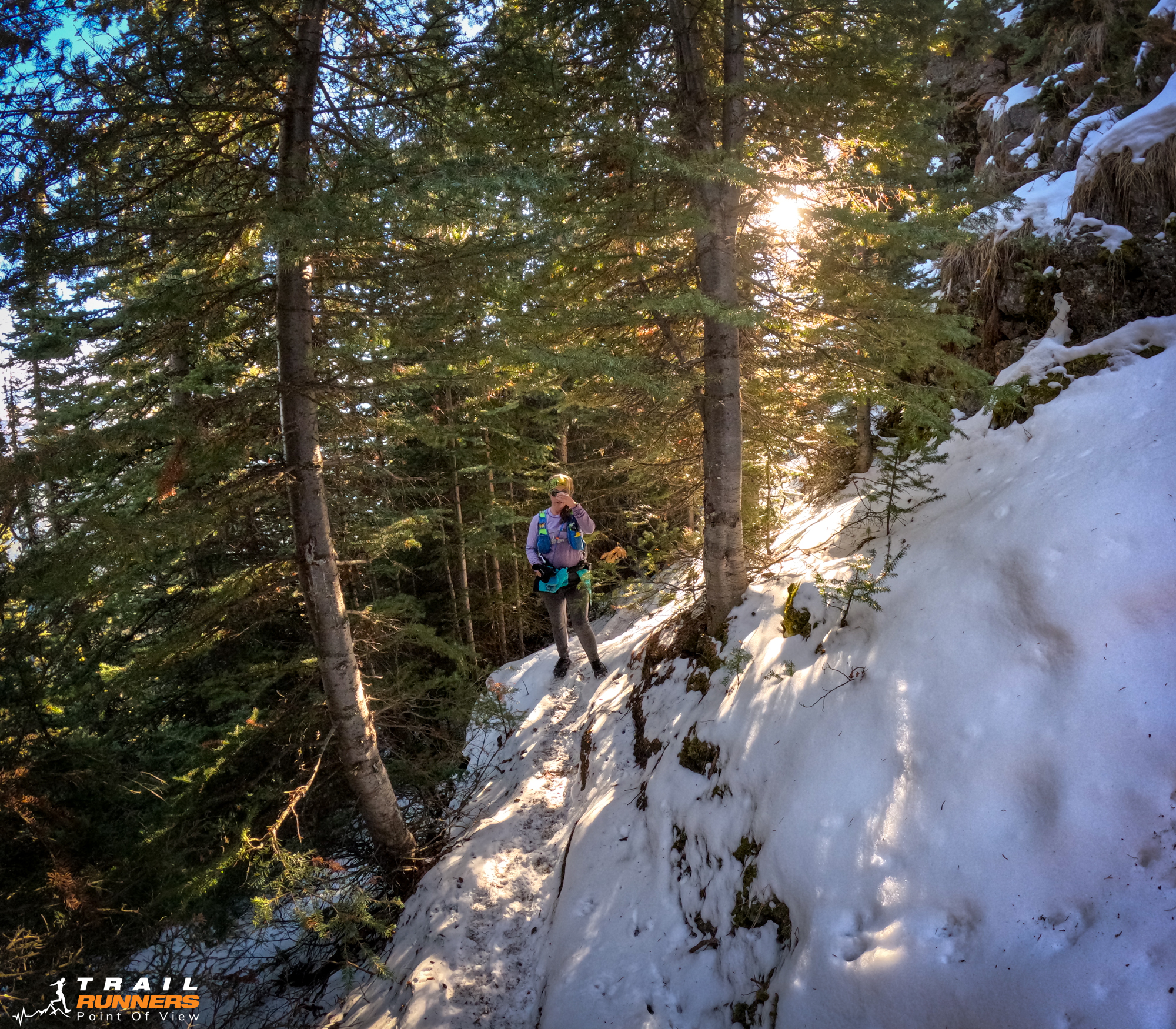
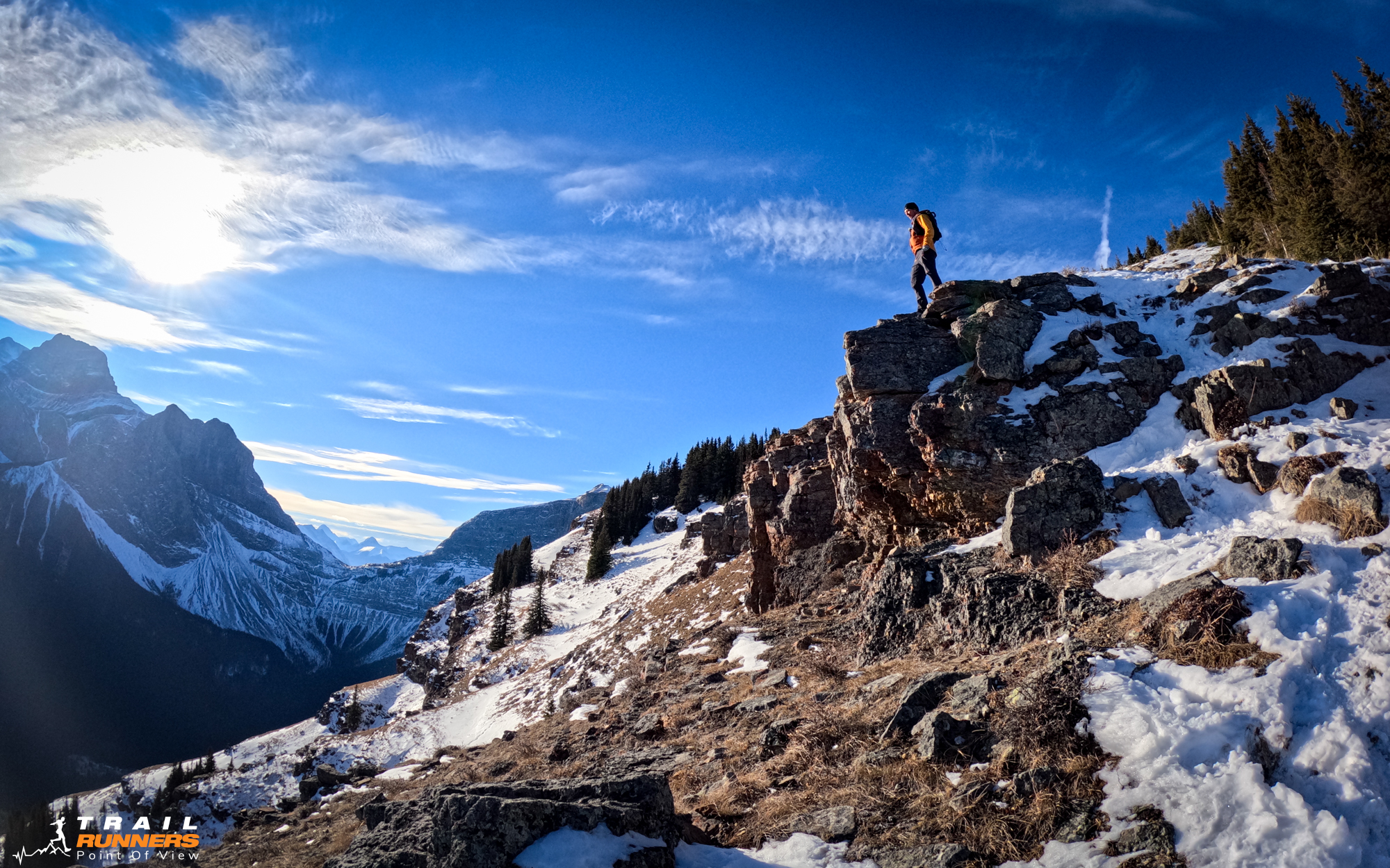
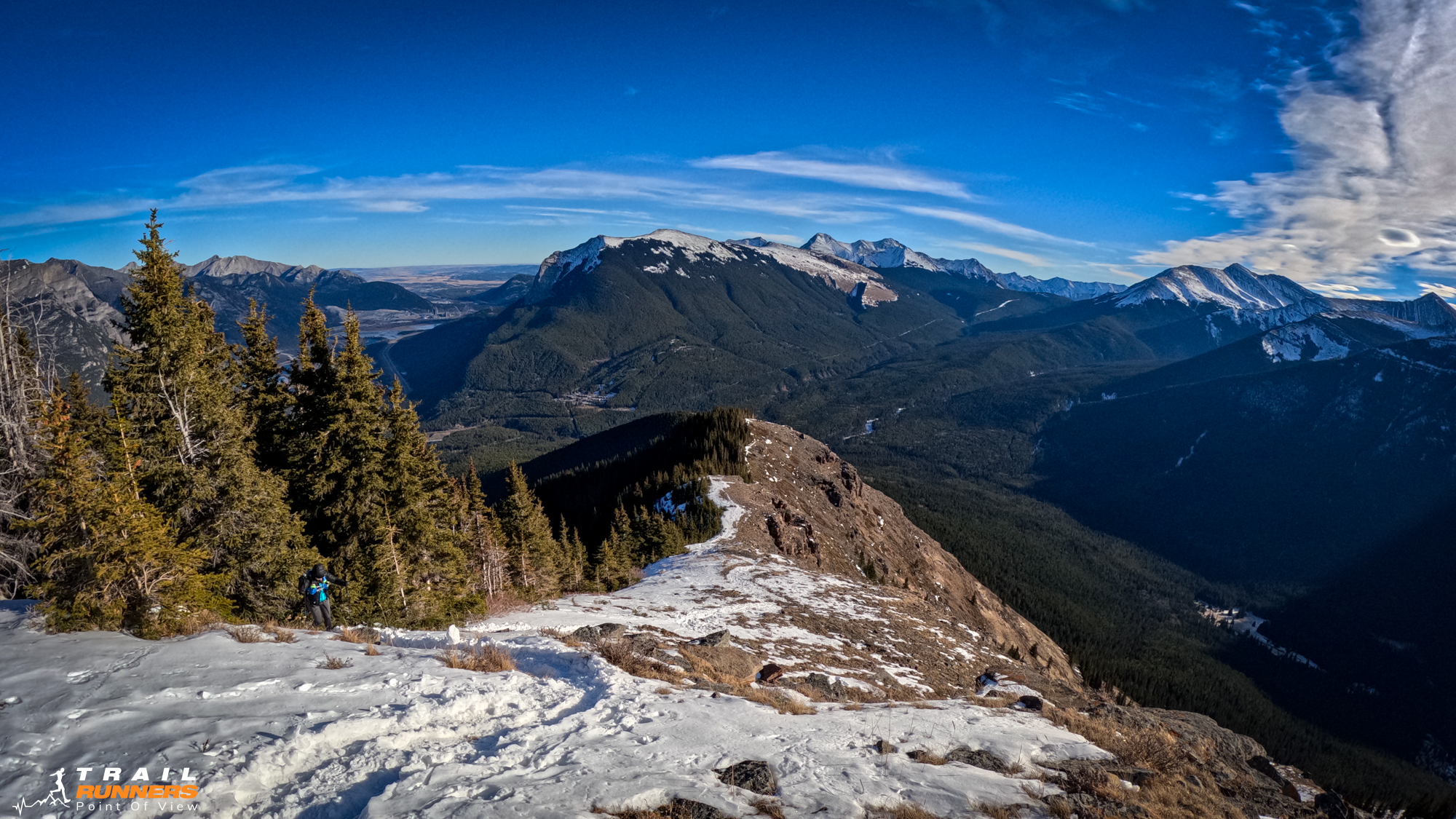
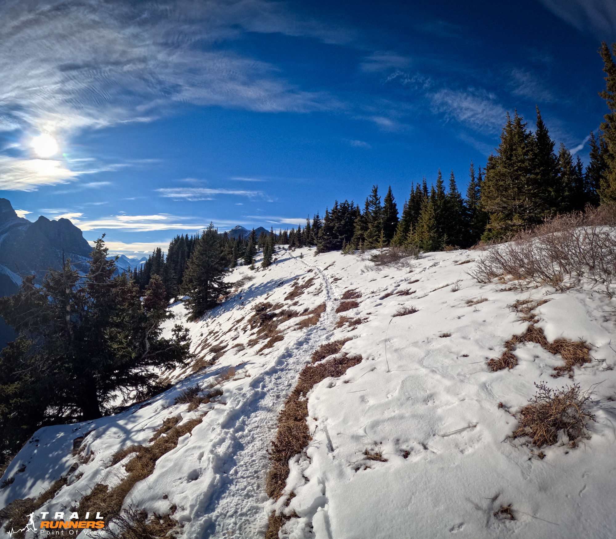
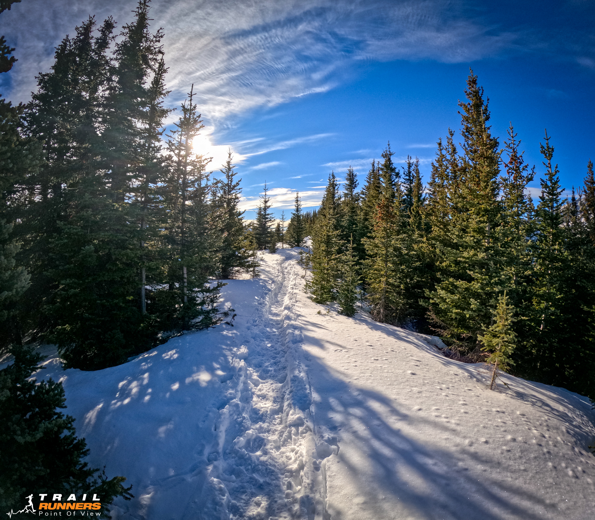
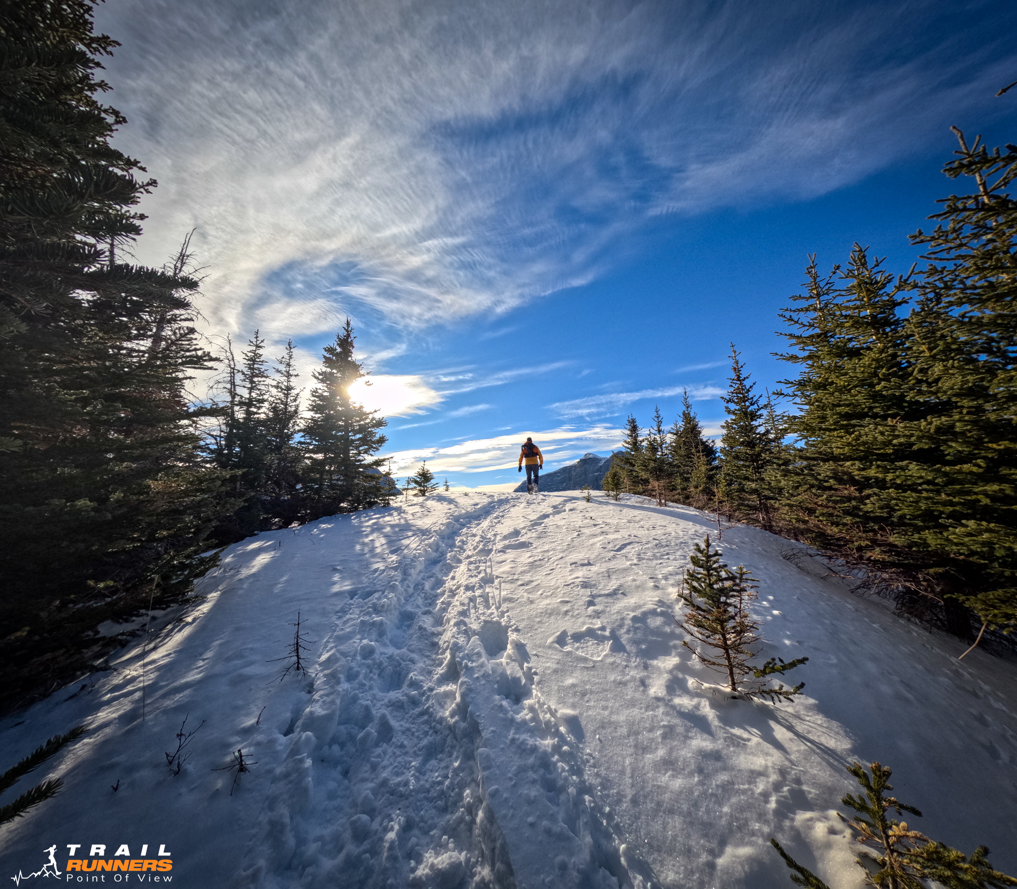
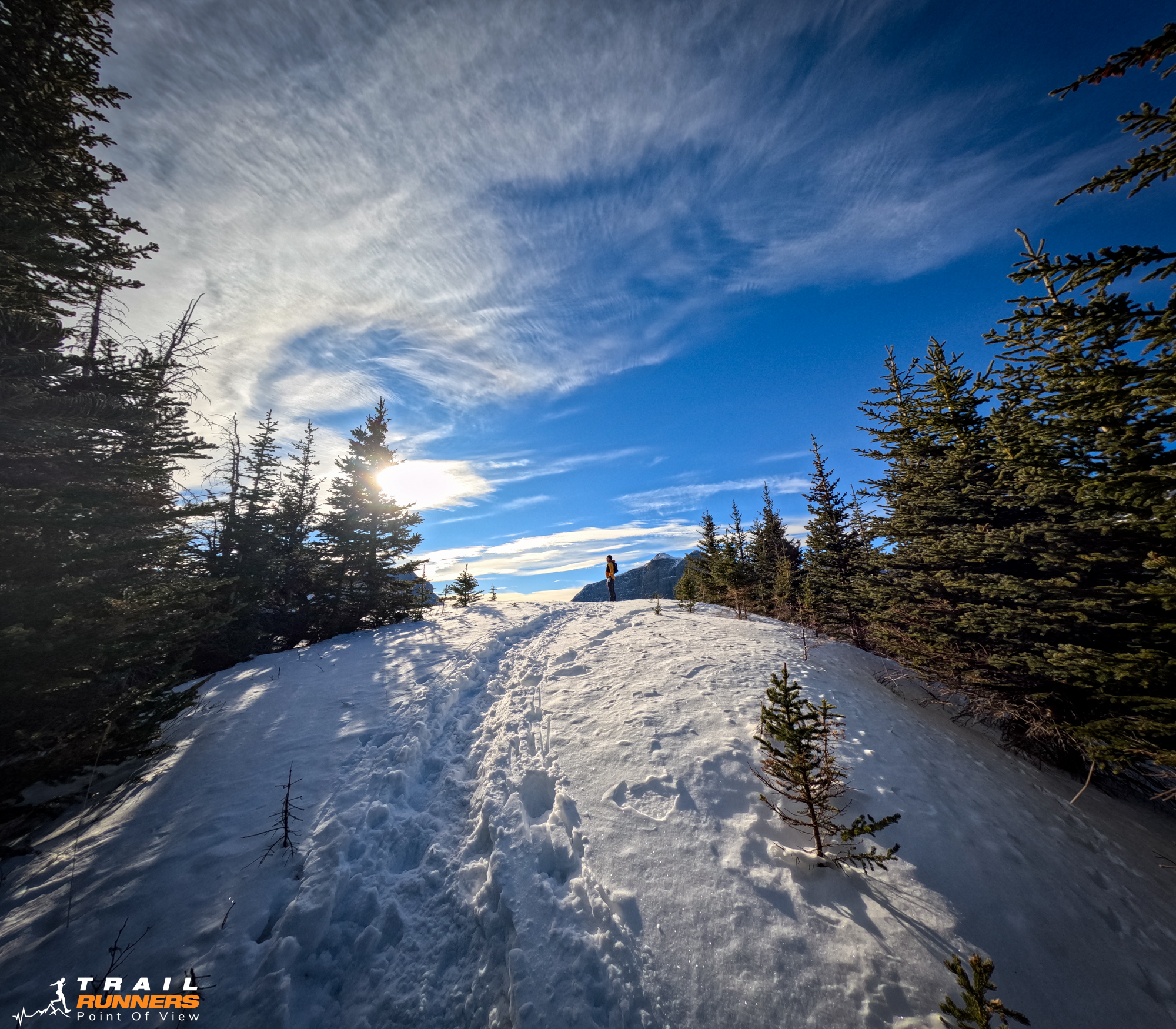
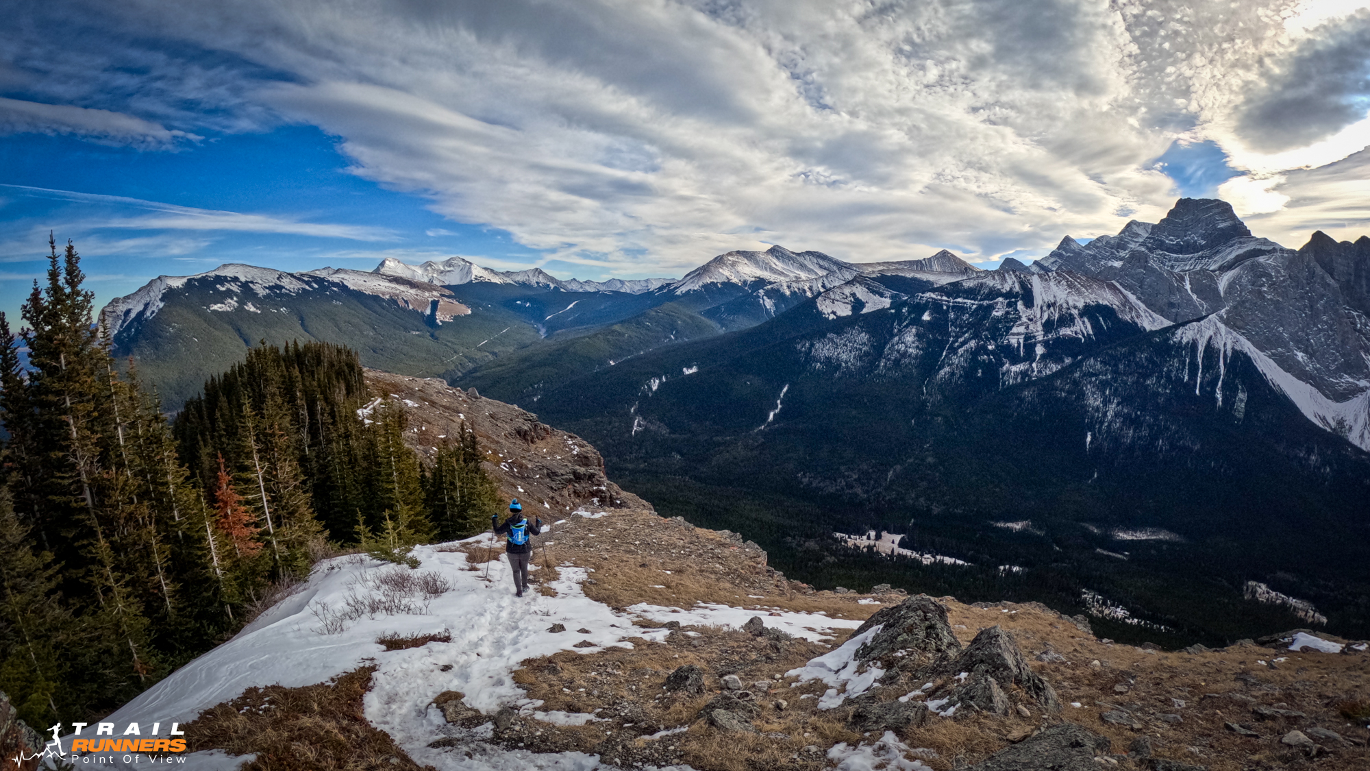
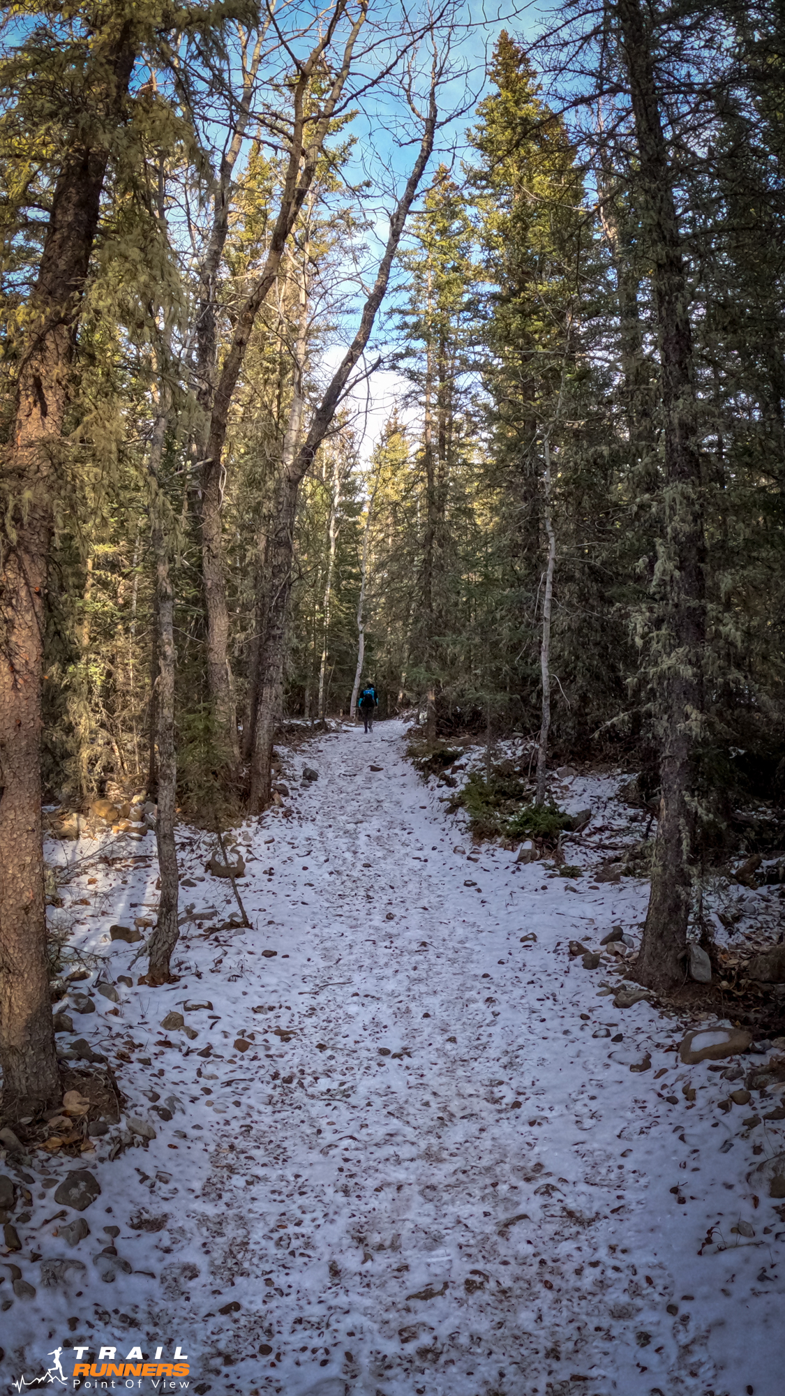
The first 3 to 3.5 Kilometers were fairly flat and runnable. The elevation profile tells a pretty accurate story. Strong runners will be able to run a lot of this trail. It starts to get steep at about the 5km mark. At some point you will come to a rock face. You have two options here. Climbers right you can go around the face and climb up and around. The alternative is to do a short scramble up the rock.
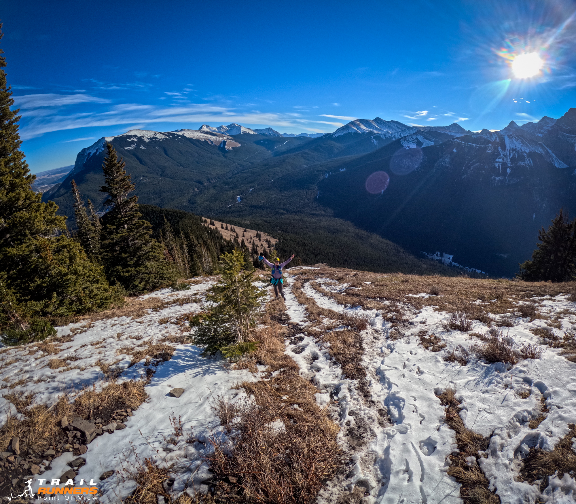
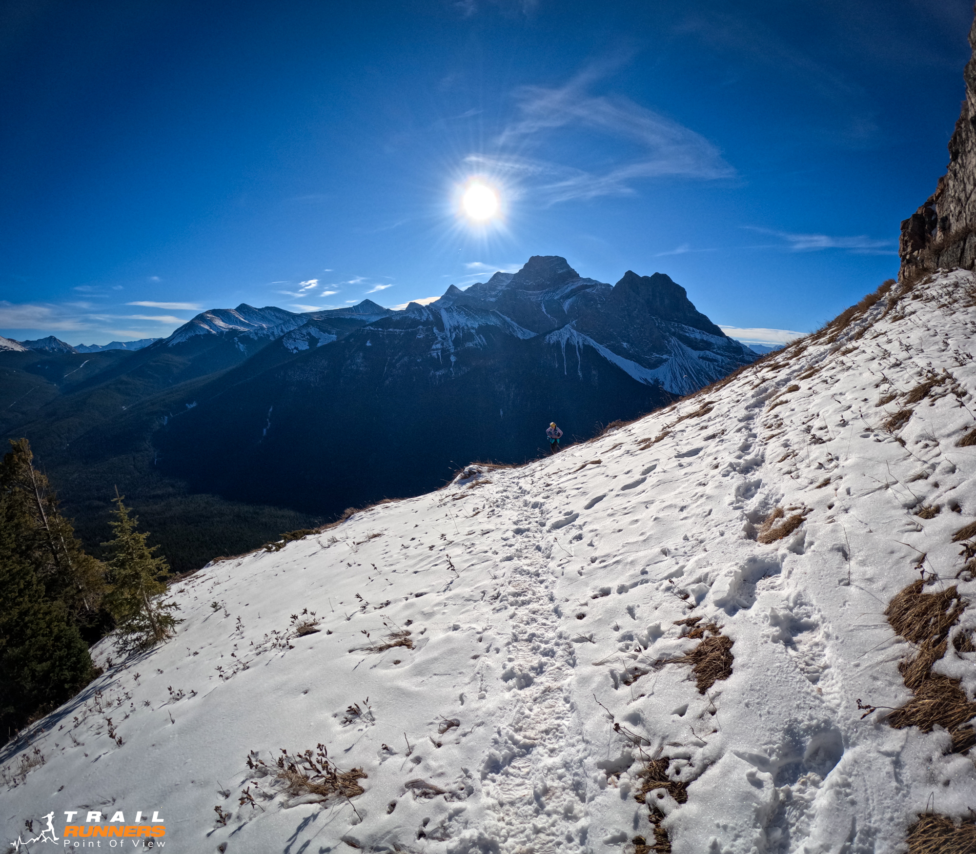
We chose the former and went around the face. The ascent was still very steep and in the snow, it felt a little sketchy, however, there was no major exposure so we weren’t too concerned.
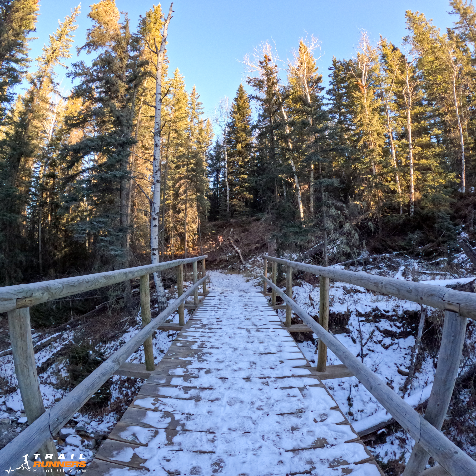
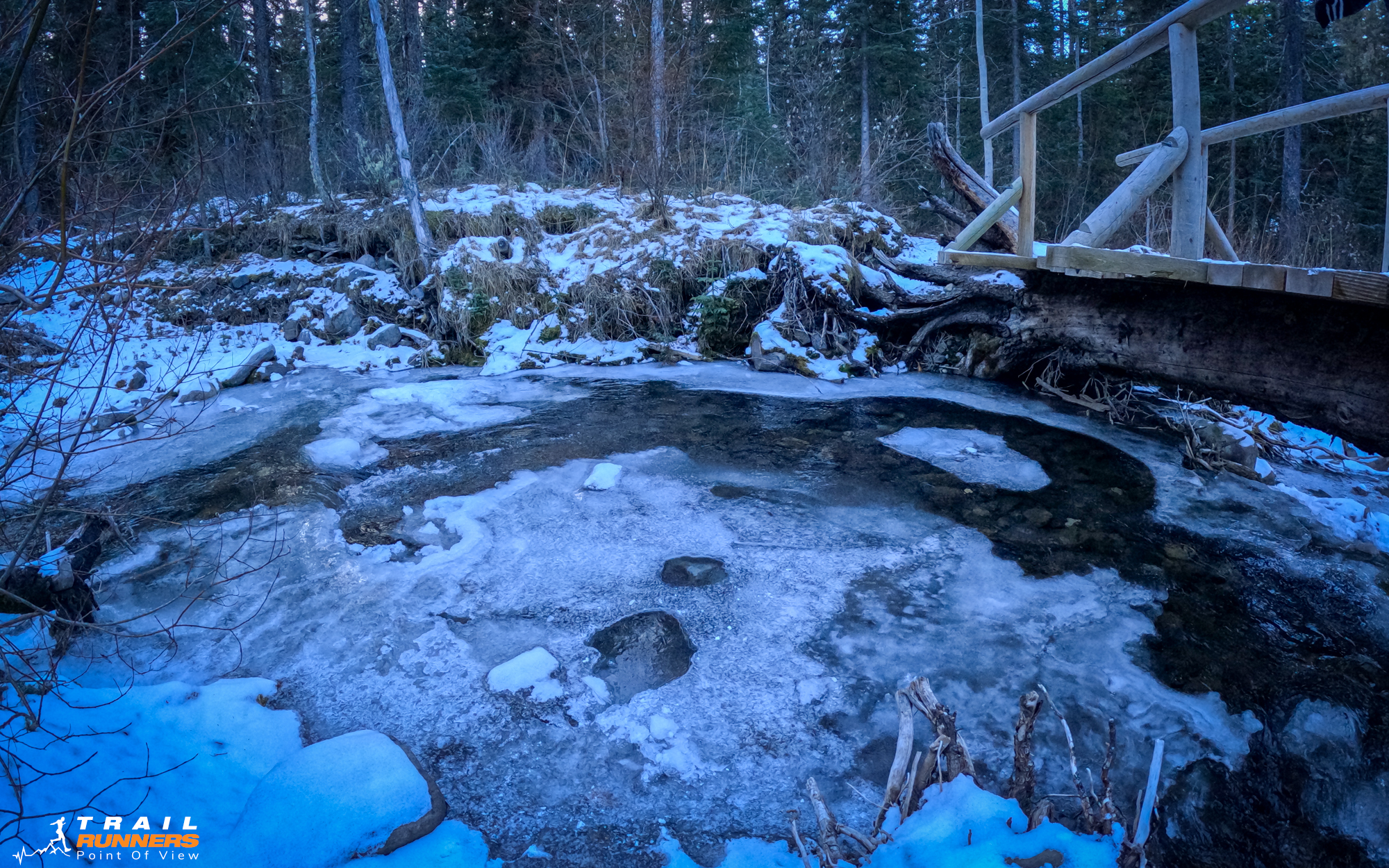
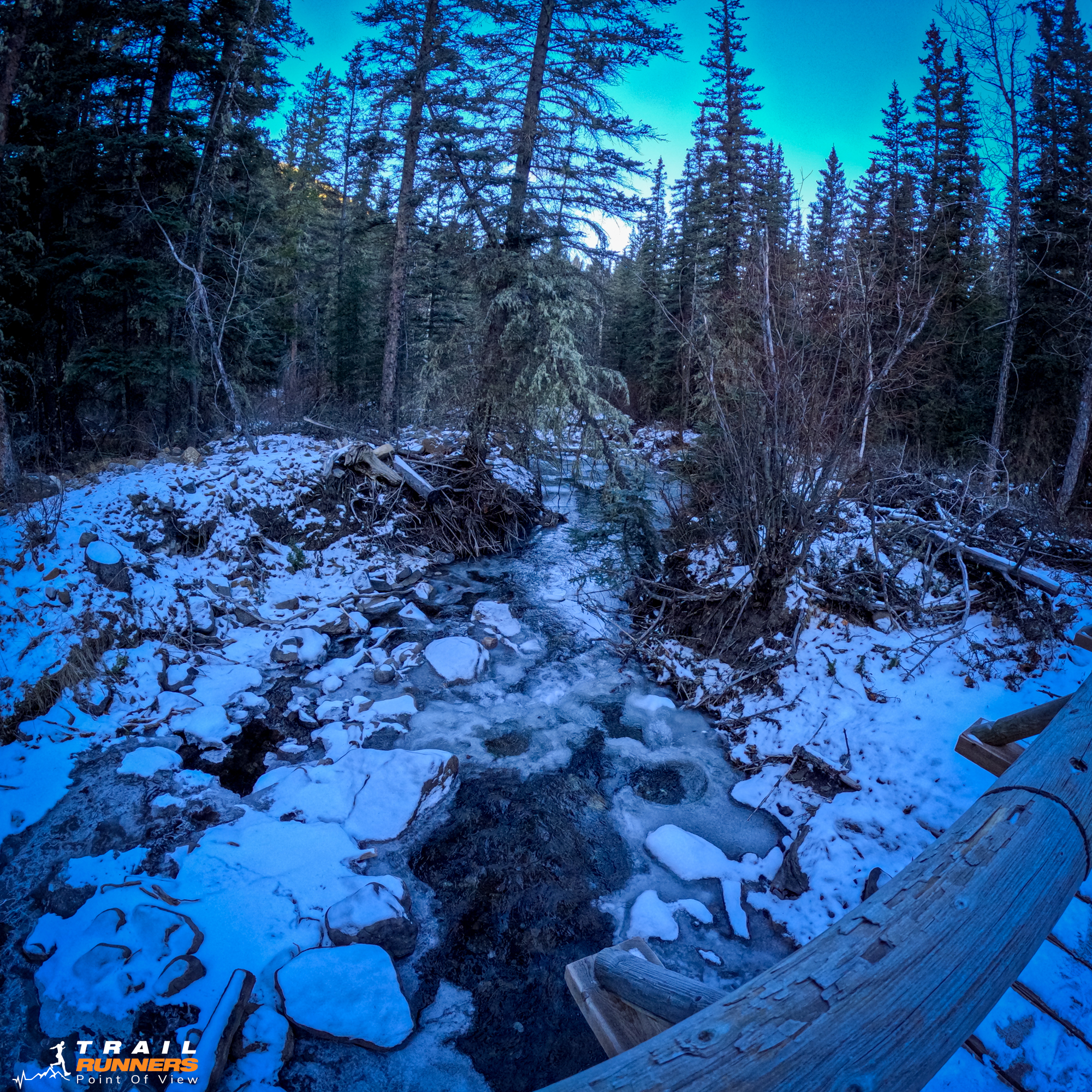
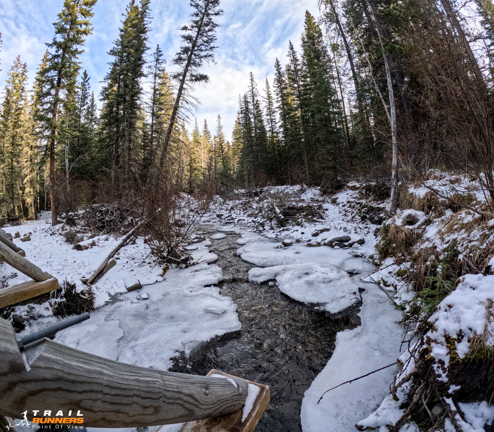
While we did not run today the descent was gentle enough for the most part that you could run most of the way down. Again the last 3km would be a gorgeous run by the creek with a few bridge crossings.
The Payoff
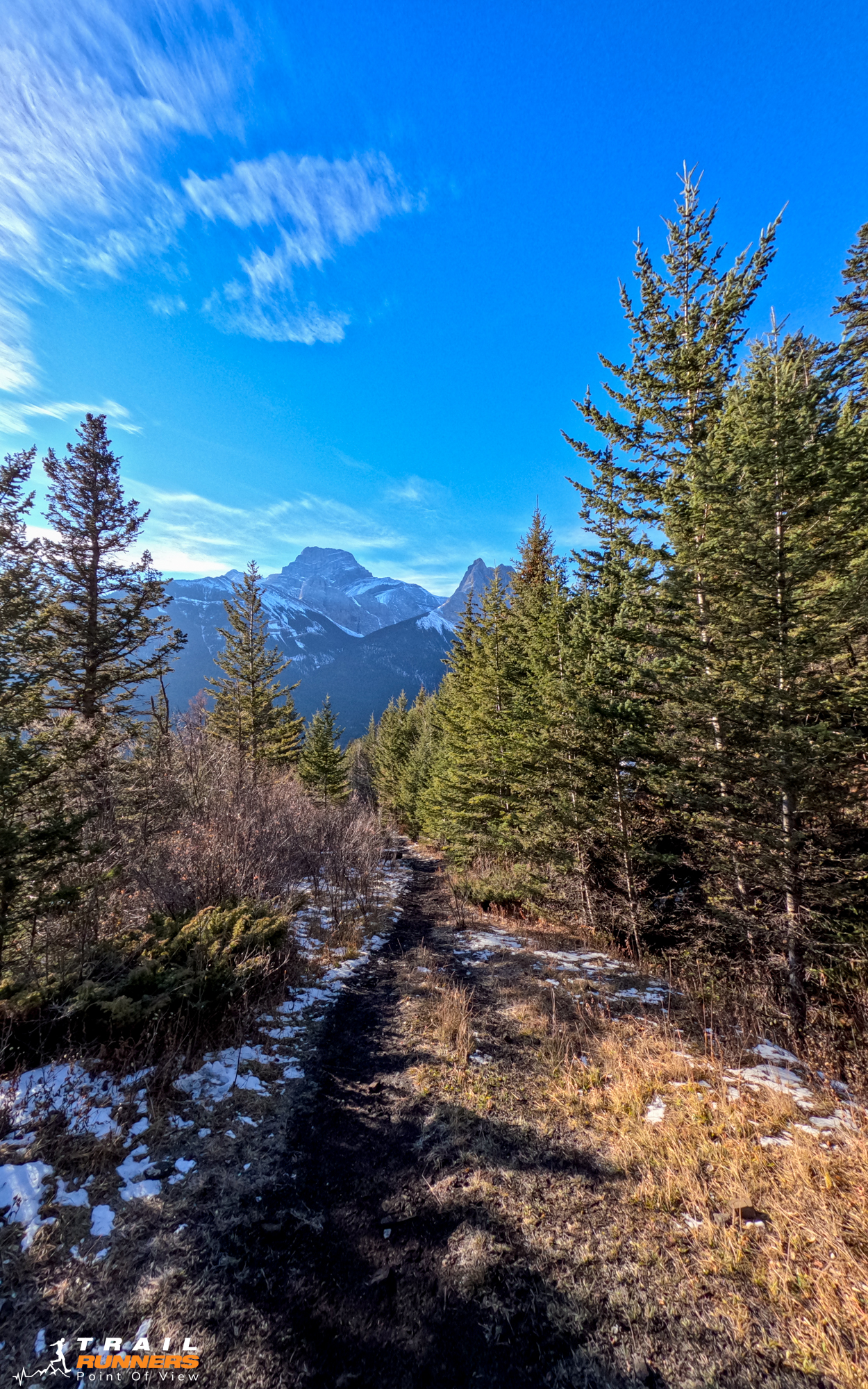
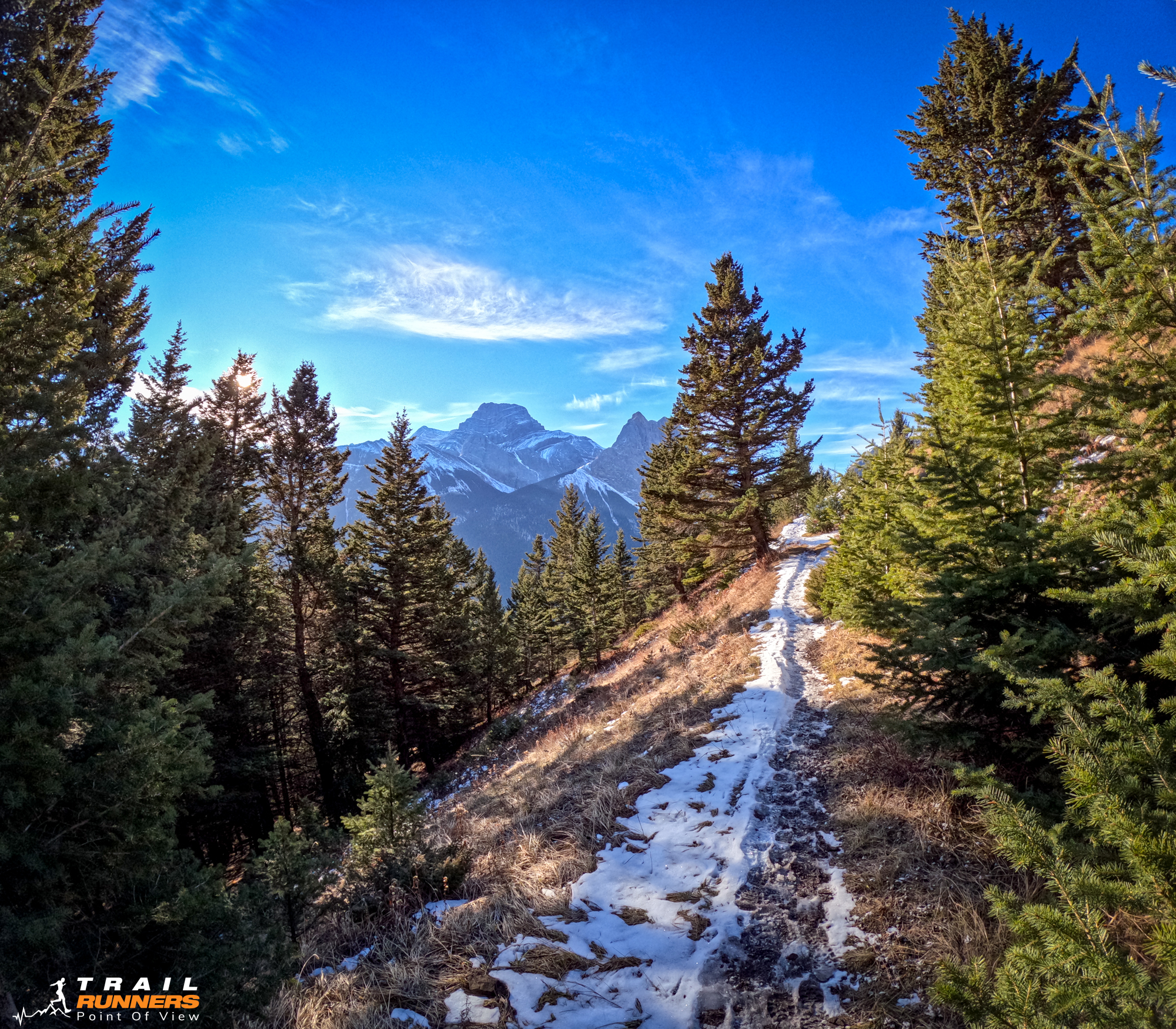
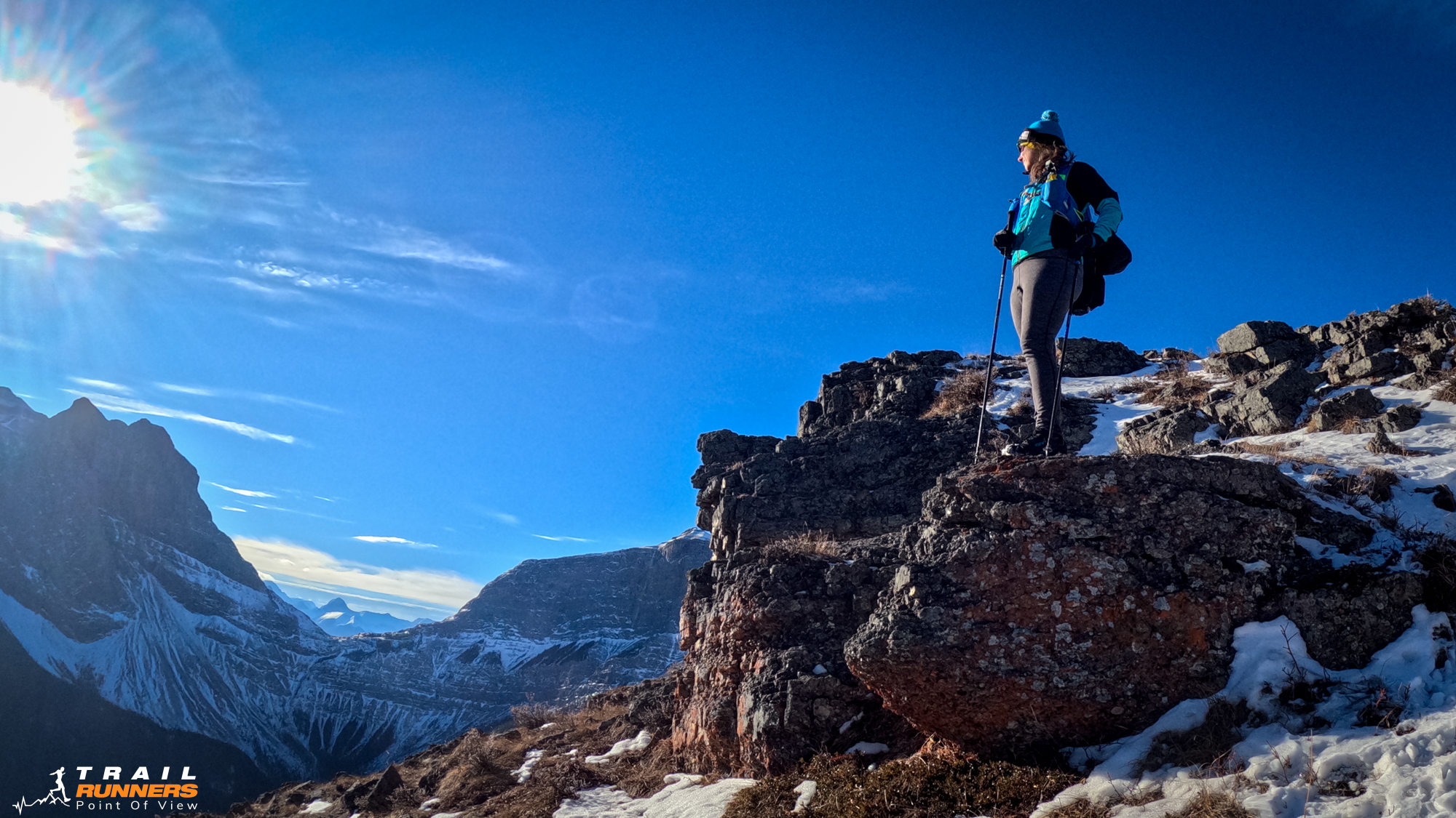
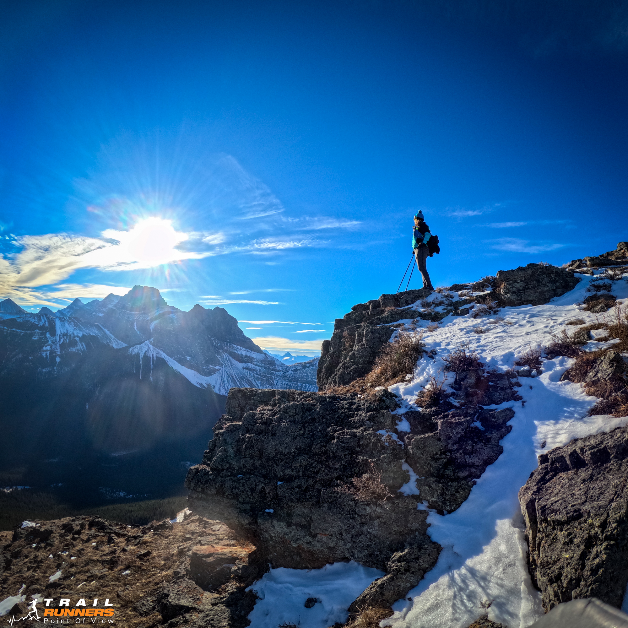
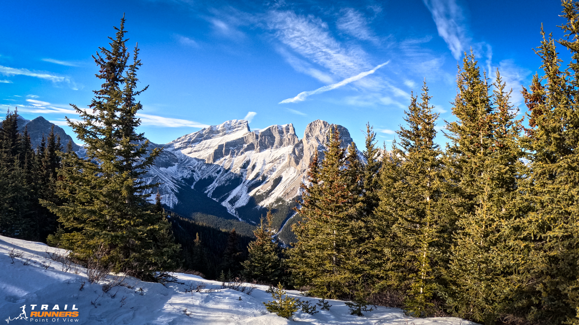
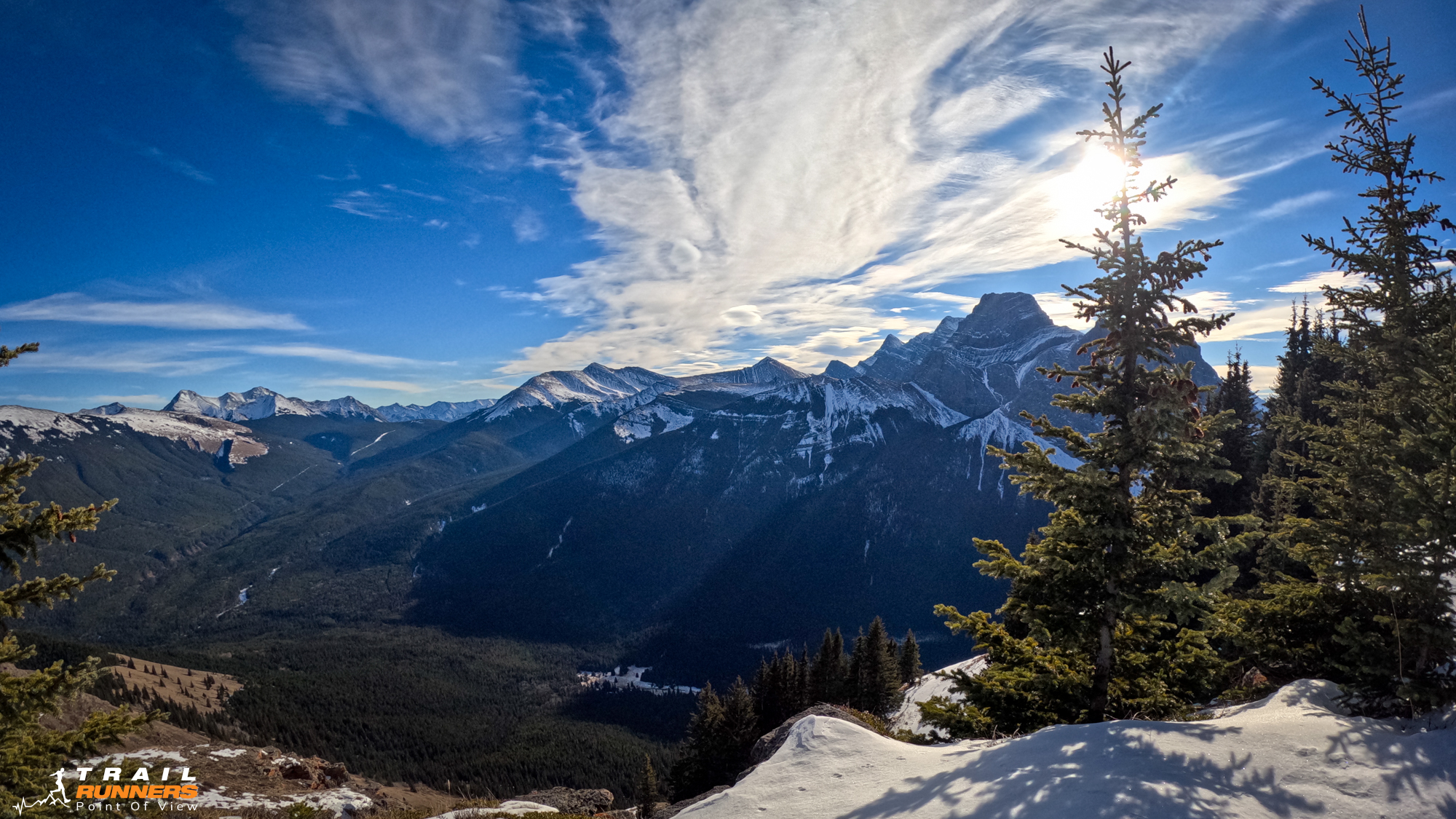
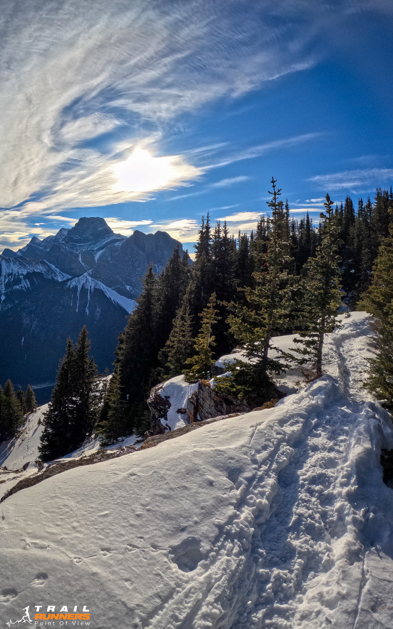
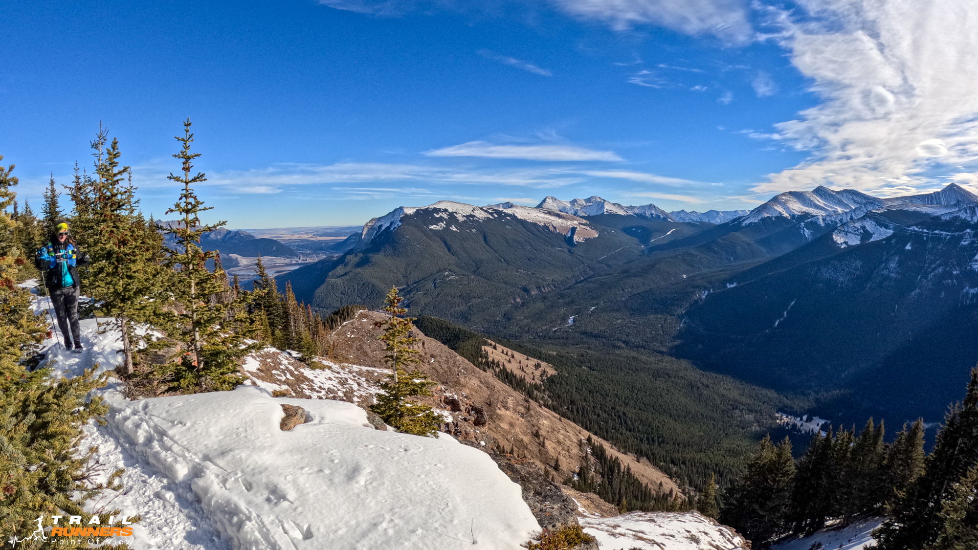
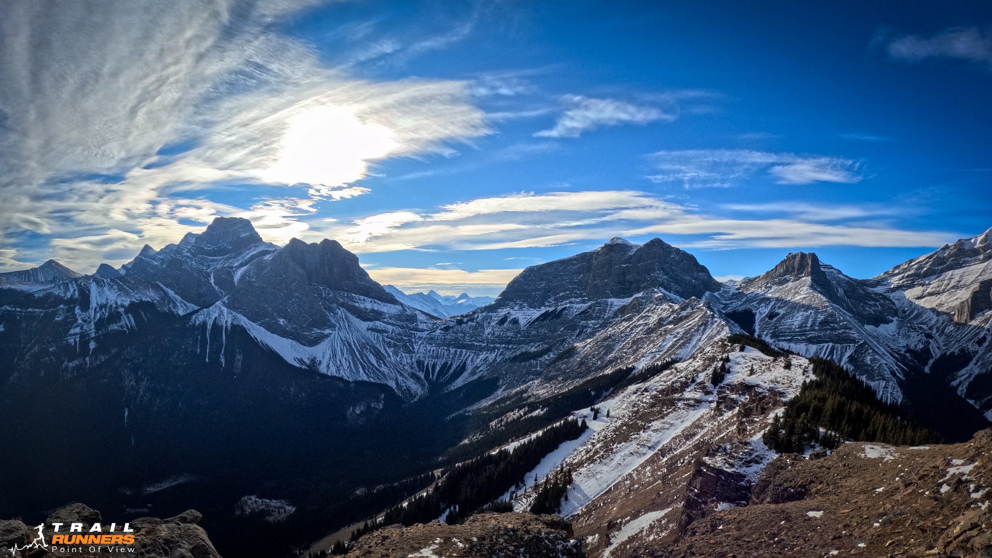
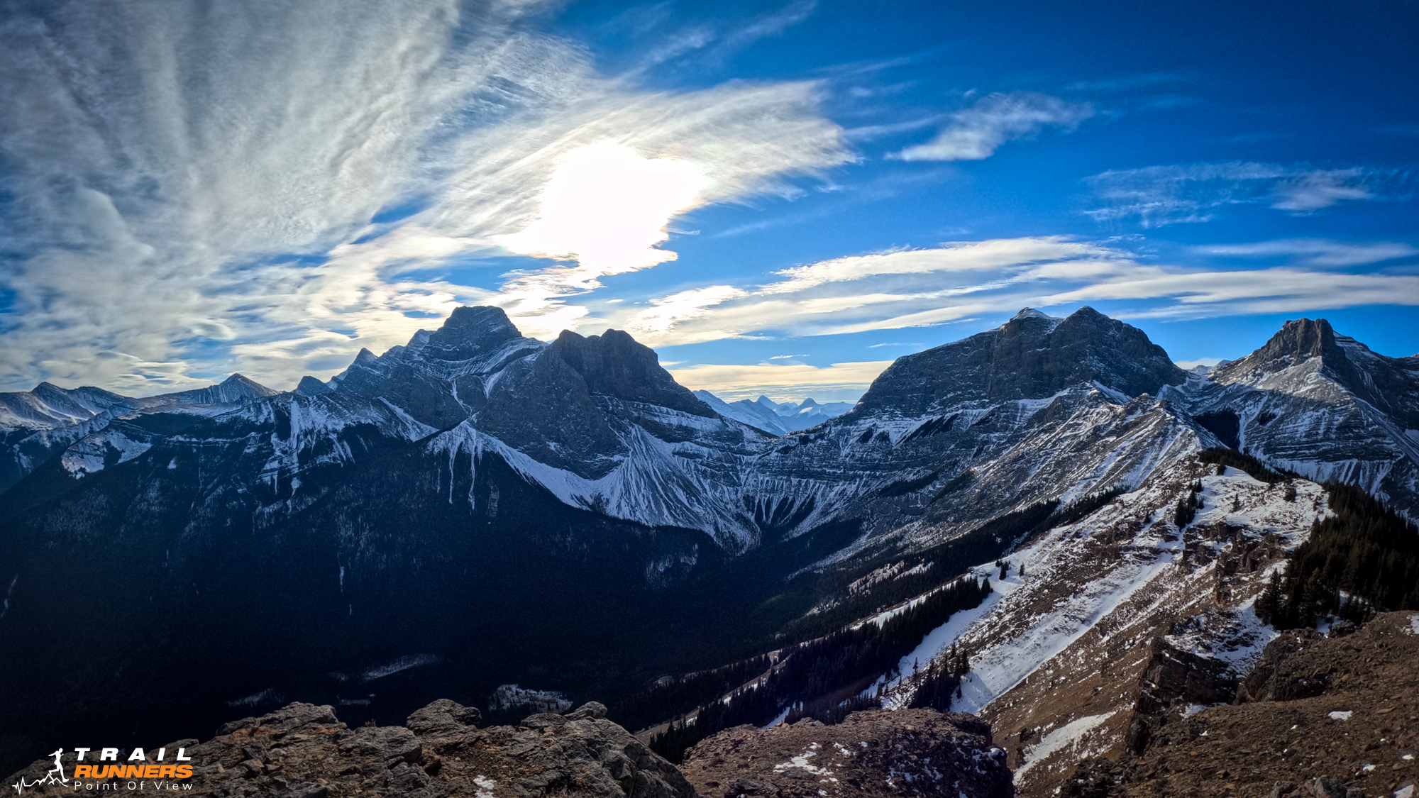
The views on this one were spectacular. We really enjoyed the views of Windtower, Lougheed and the back side of the Three Sisters.
The trail itself is very pretty as we wound by a creek with a few bridge crossings. The pine-covered trails and mossy forest are some of Michelle’s favourites.
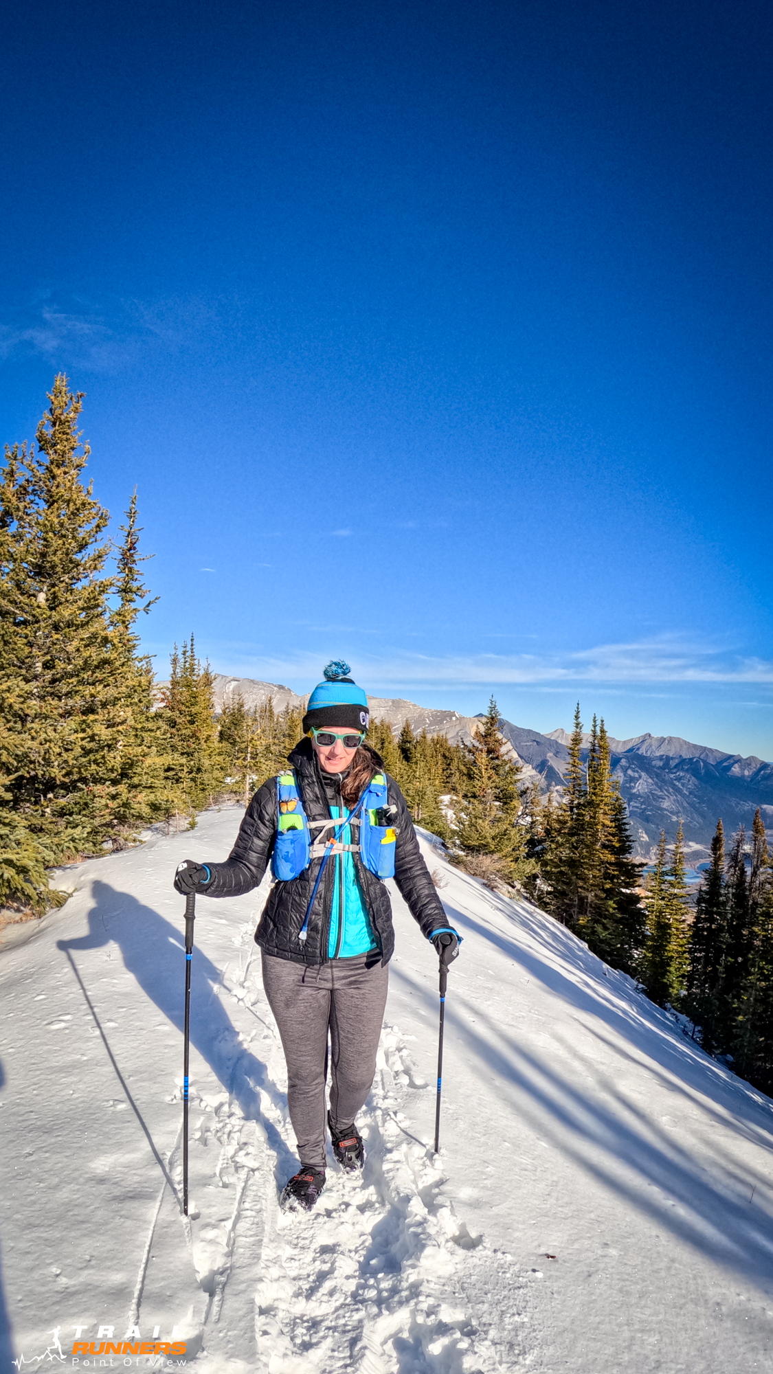
We were very lucky with the weather. The temps were warm (we actually overdressed) and the wind was not horrible and we came off the summit to grab a sandwich in the more sheltered part of the path.
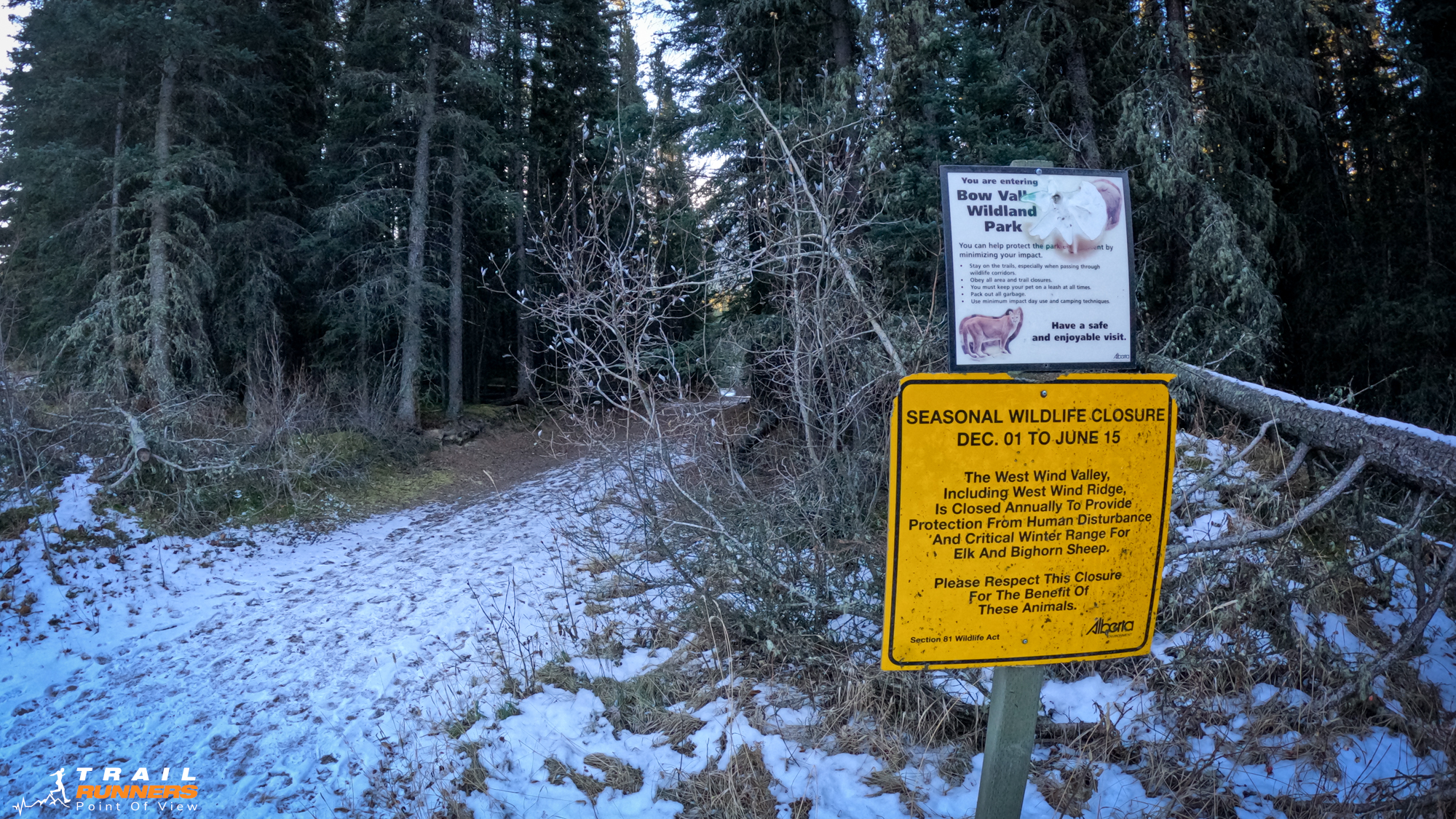
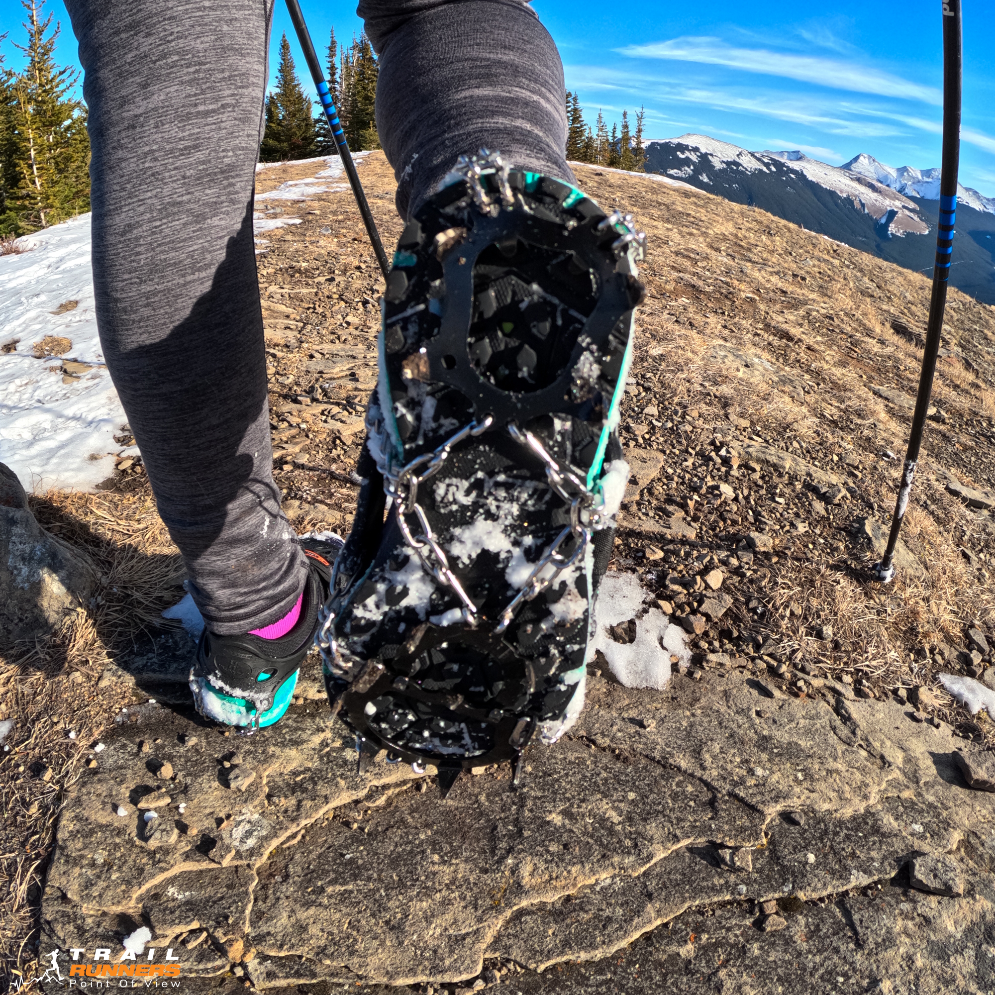
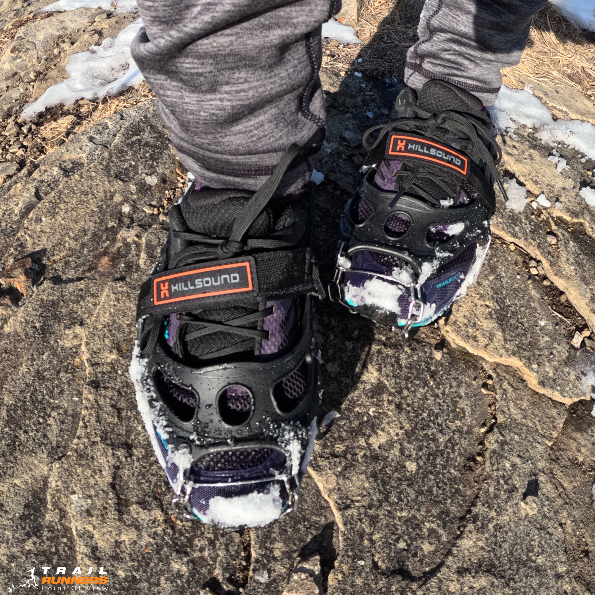
Spikes were a must for this time of year and as always we brought our bear spray as you never know what you might encounter. If you have tried this one let us know what you think in the comments below.