Smutwood Peak Fly By
The Story
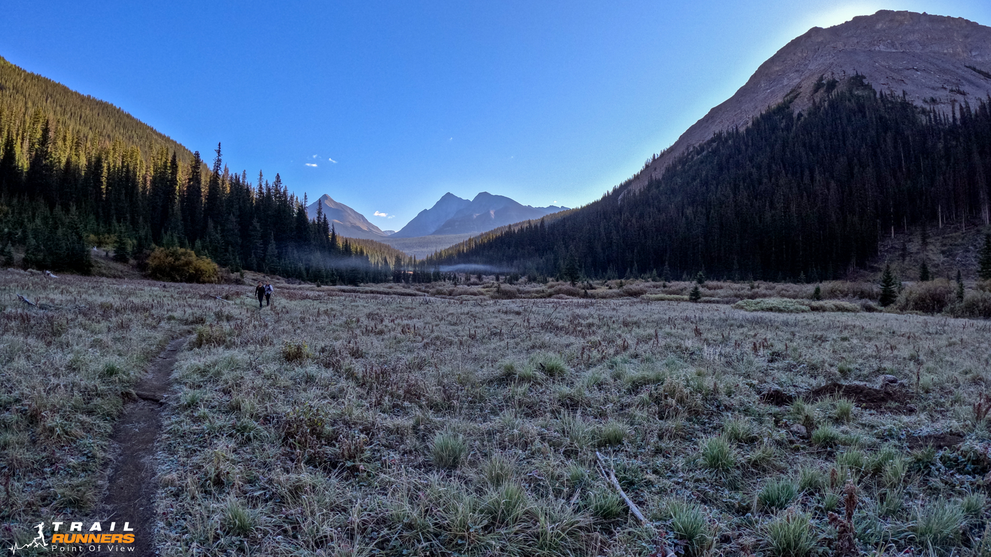
Coach had prescribed a 3 hour run today so I thought I would tackle Smutwood. Paul, my coach, had done this one a few weeks earlier. His photos looked fantastic and the distance seemed about right. There were a lot of hikers out so an early start is advisable so you don’t run into congestion on the single track sections. Worth noting there were at least two parties I talked to that thought they were on the Tent Ridge Loop. That trail head is a little further up the road. Perhaps that will be next weekends adventure.
Getting There
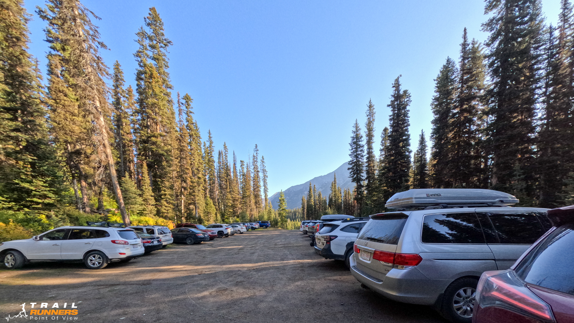
The trail head was about an hour out of Canmore. We drove up past the Nordic Center and up Spray Lakes Road. Past Grassi Lake and the Ha Ling tail head up past Spray Lakes. You turn right at the Mt. Engadine turnoff and follow the road for a few KM to a left turn that takes you to the trailhead. The parking lot was fairly full when I arrived at 9am. Google Maps Directions Here.
Runnability
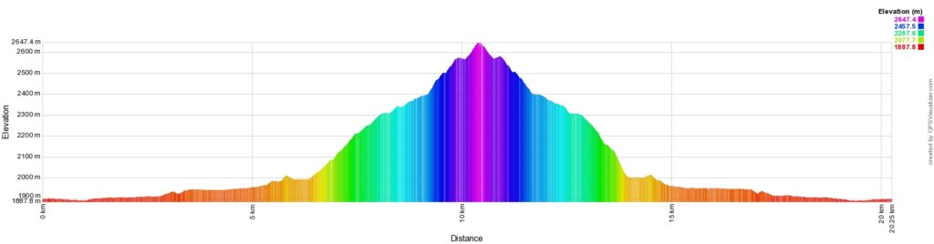
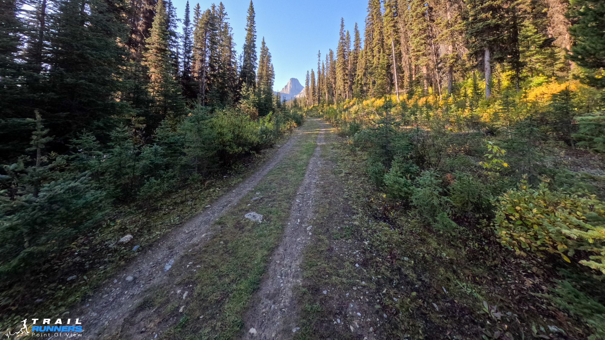
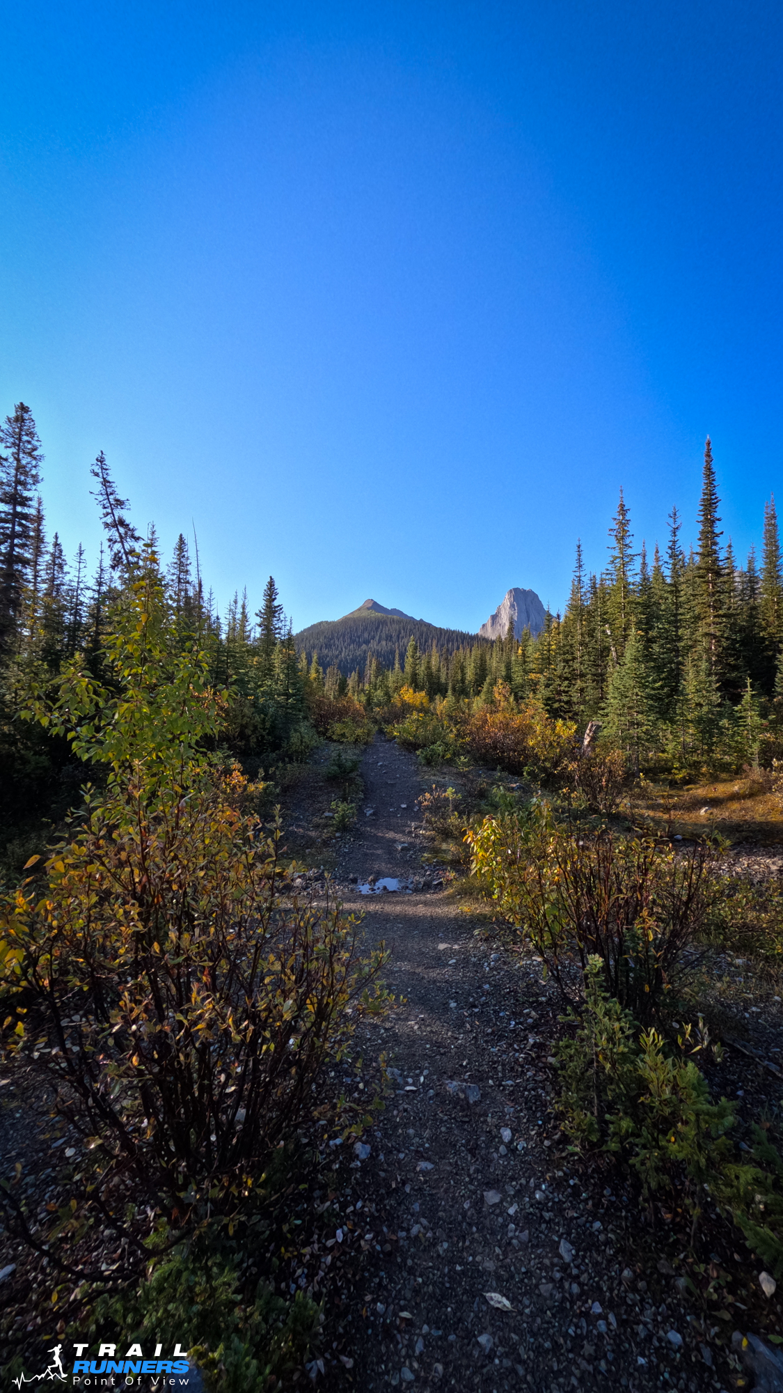
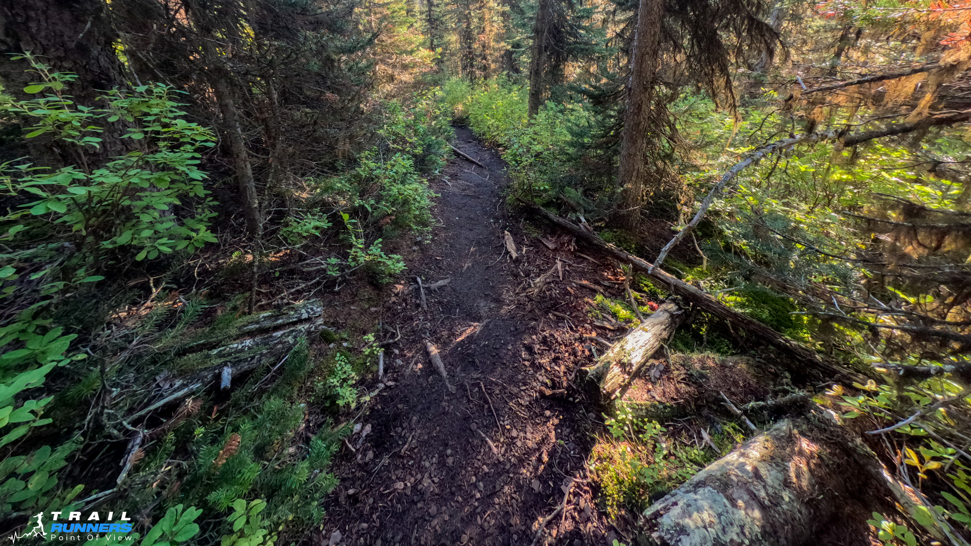
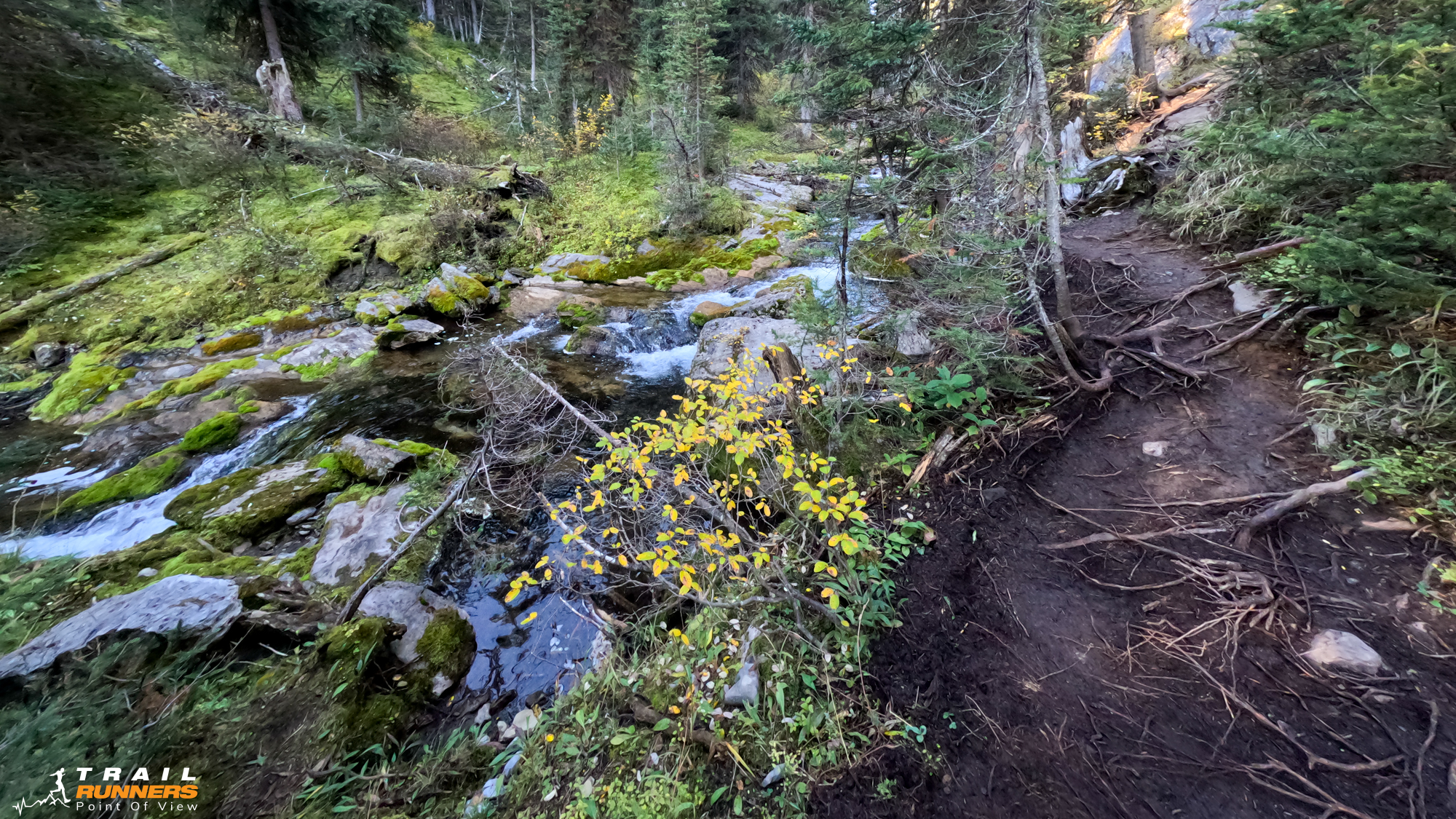
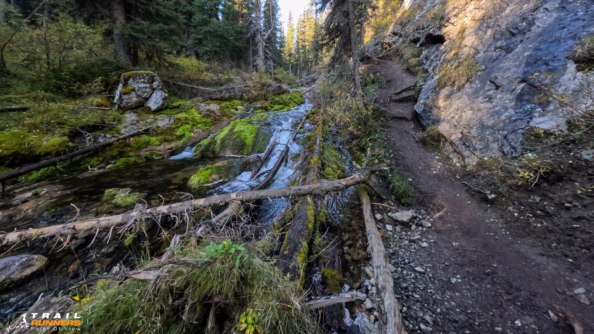
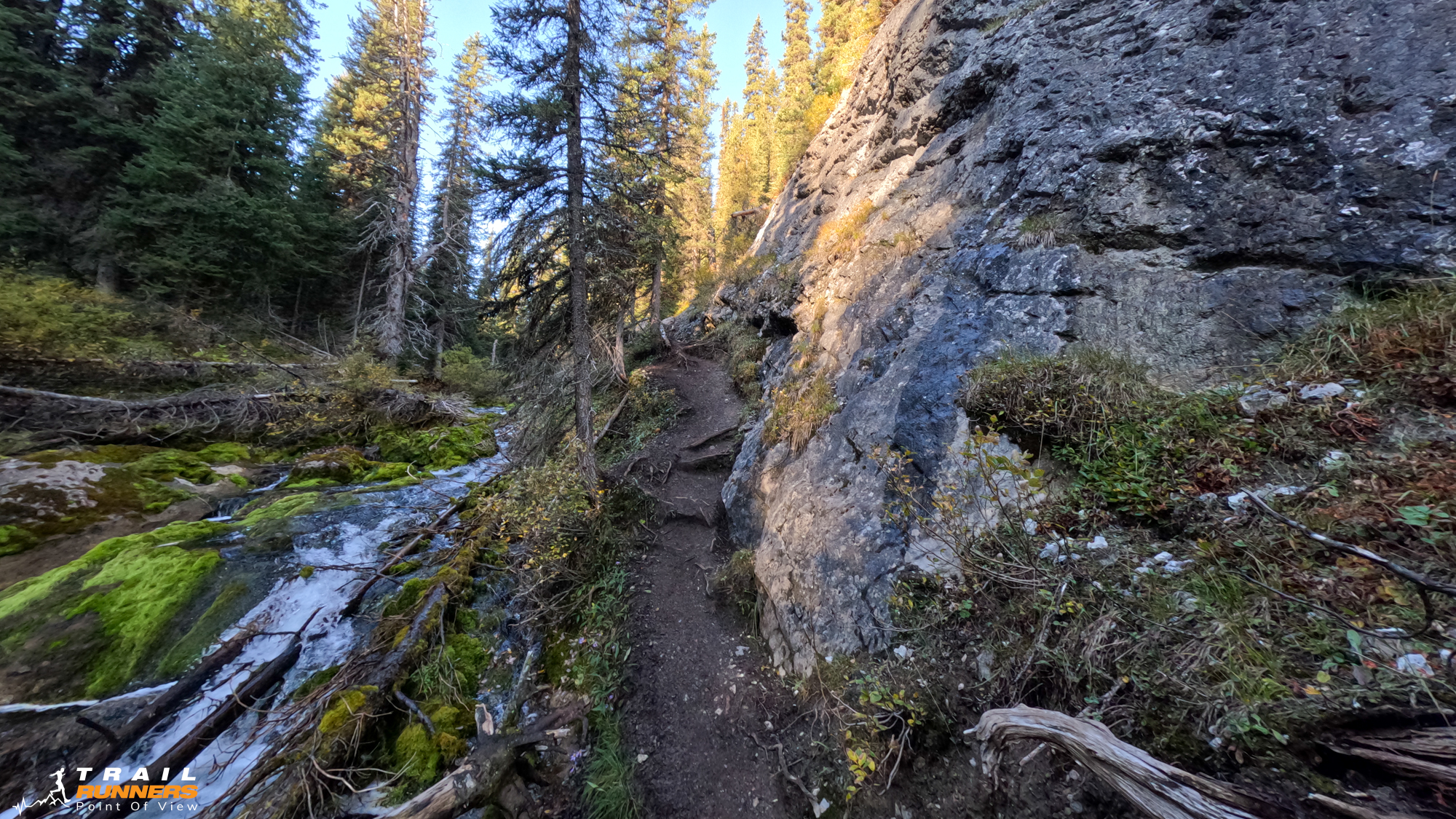
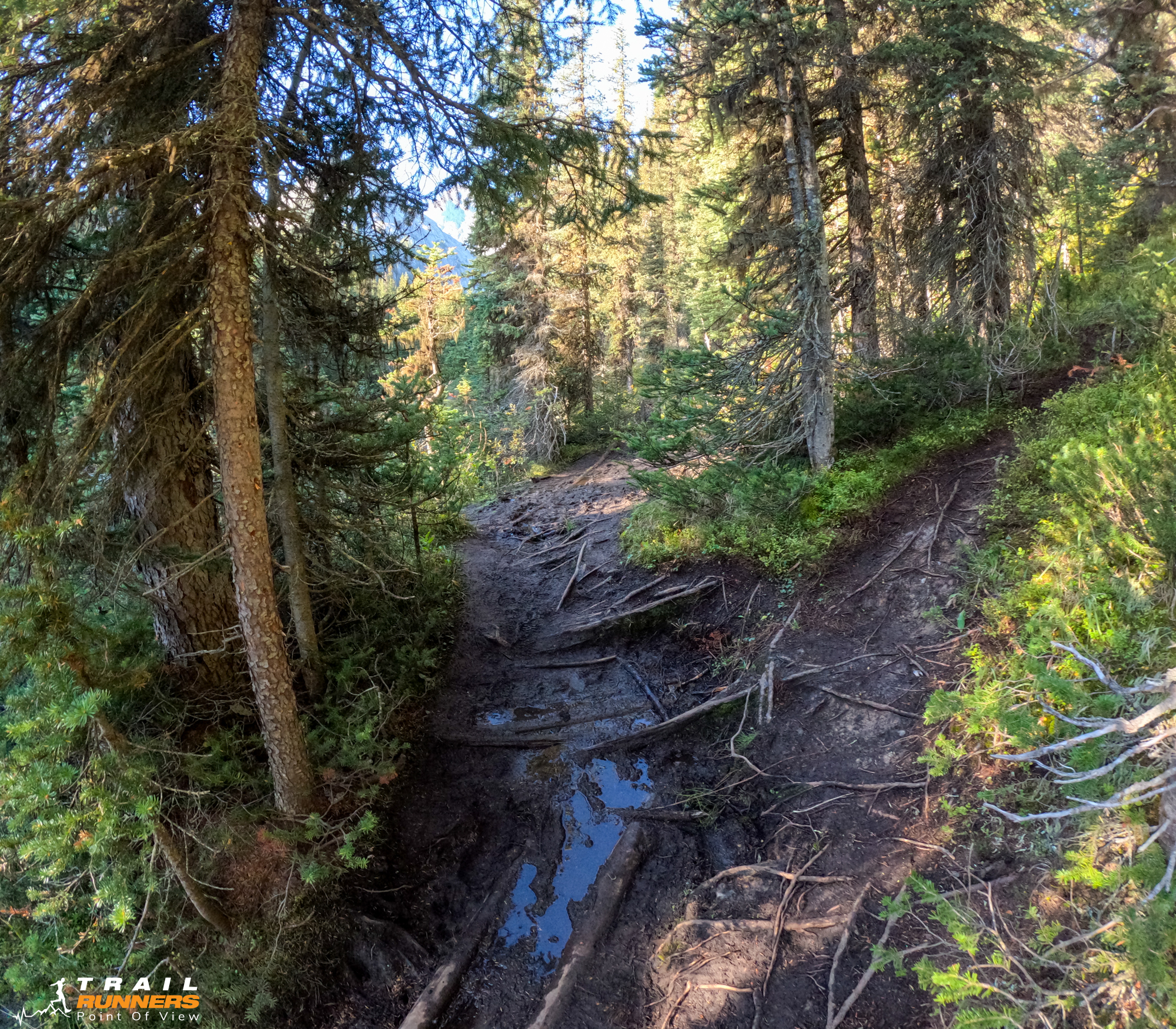
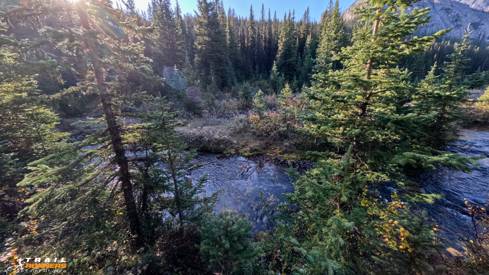
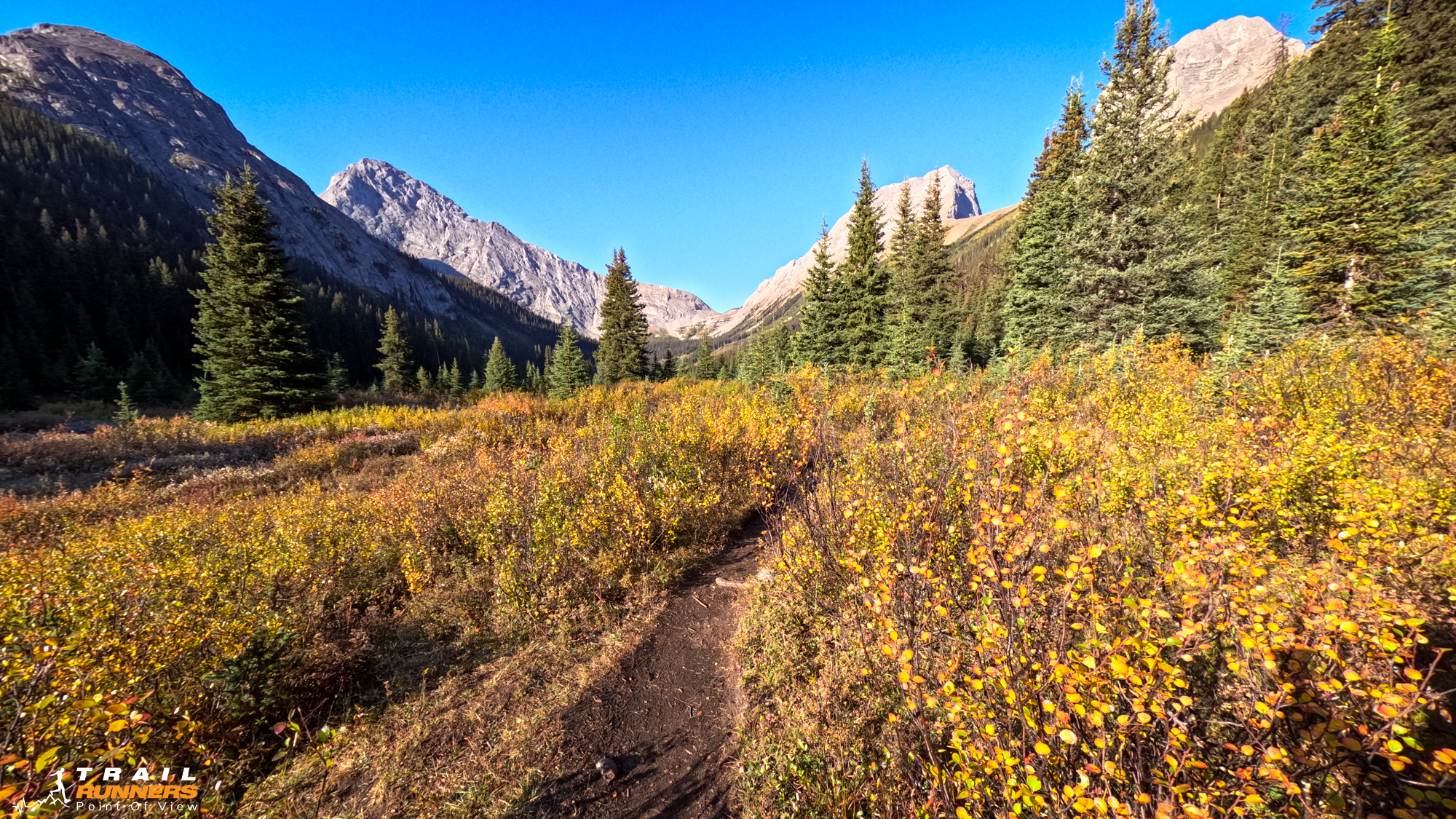
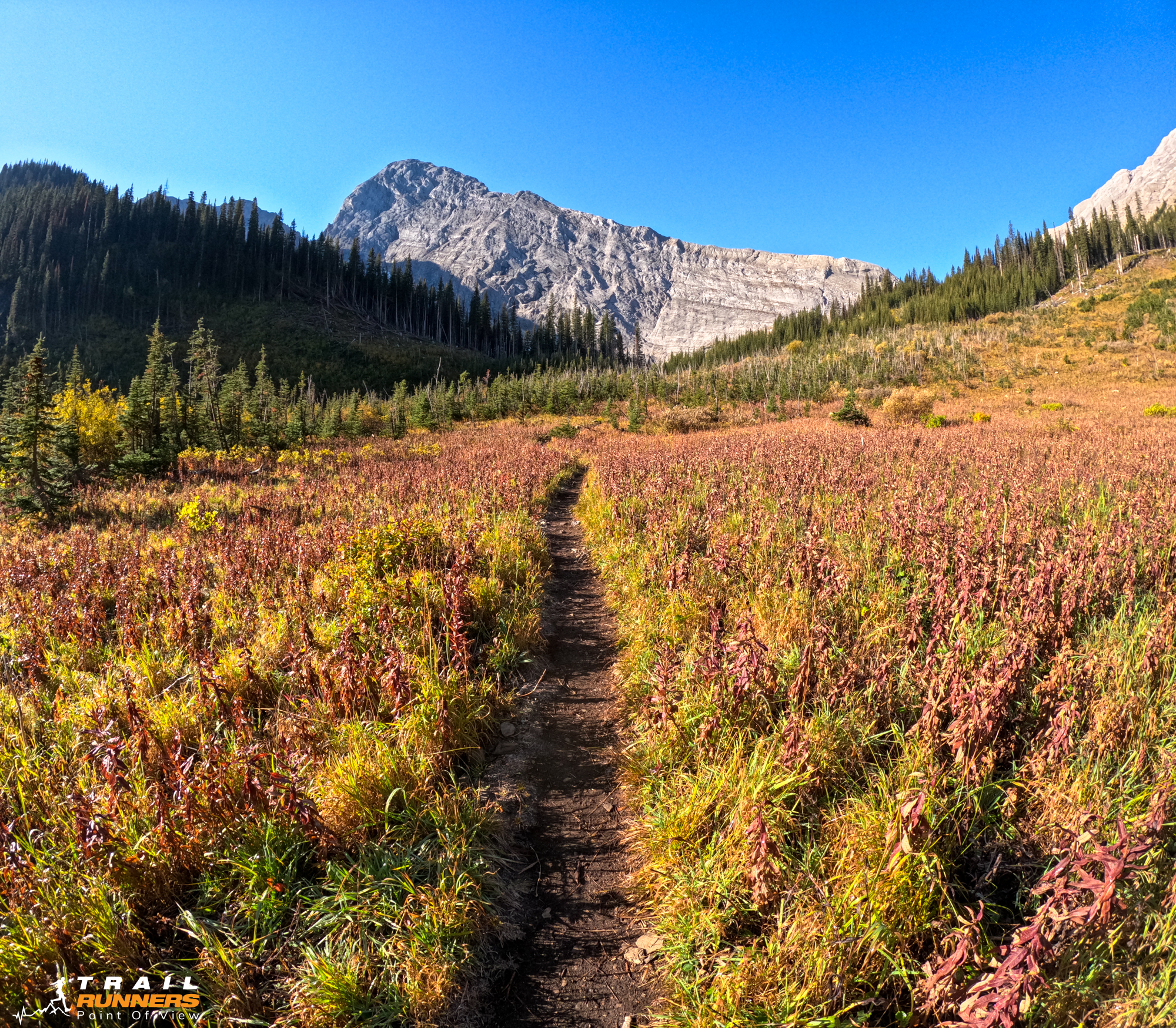
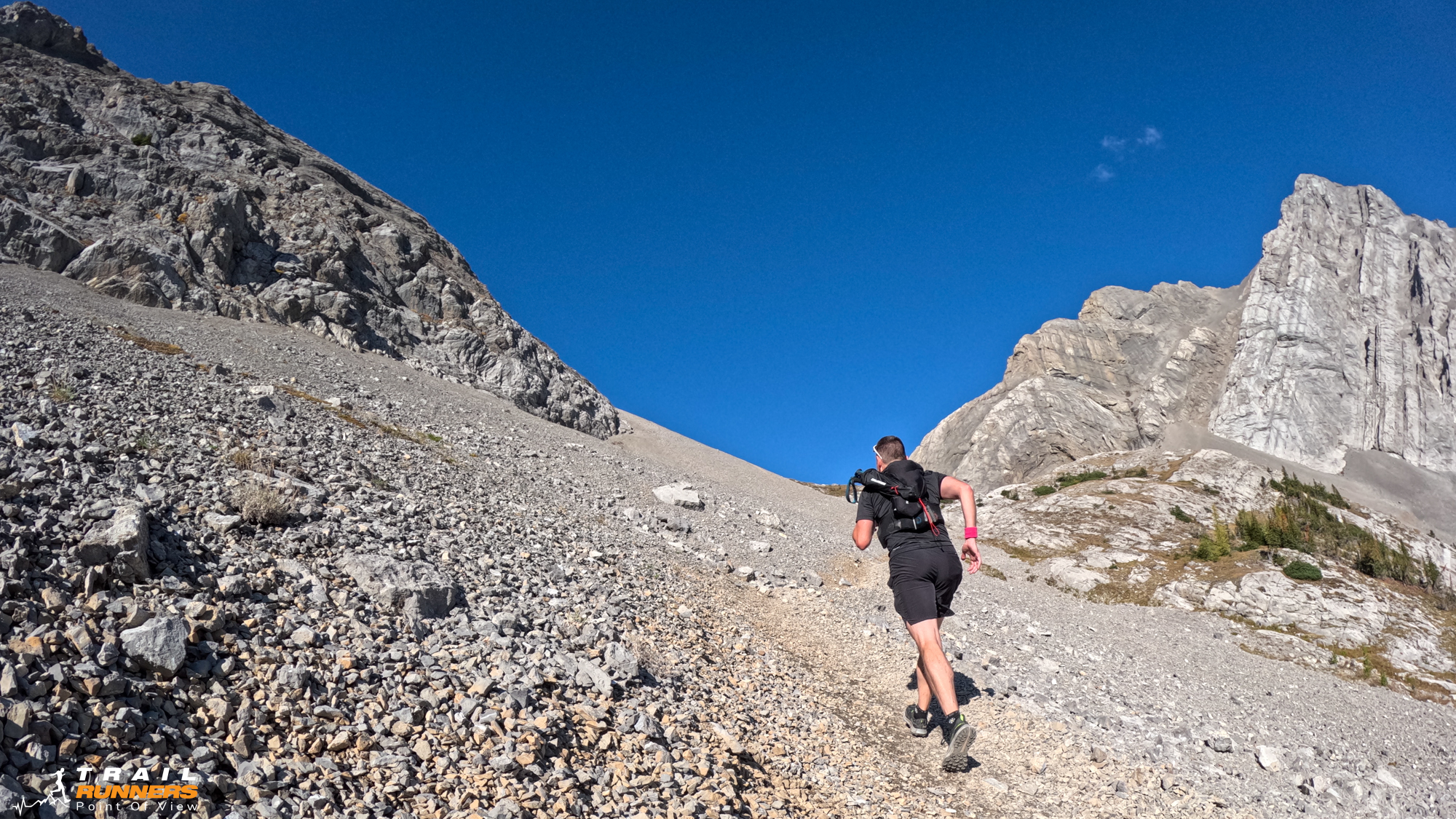
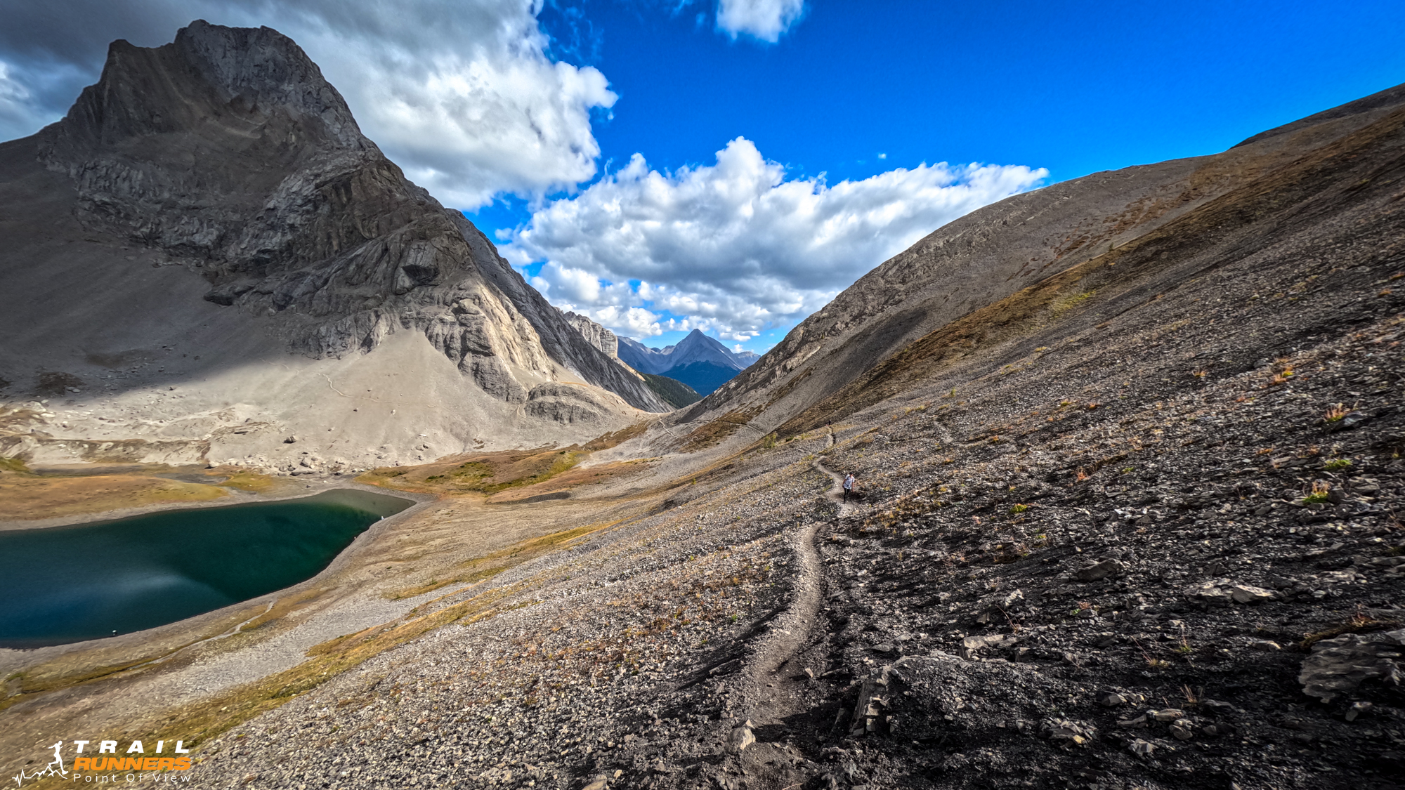
The first 3km of this trail are completely runnable. At about the 3km mark is where those who choose to shorten the route by bringing their bikes lock them up. The elevation is still relatively flat but there is some very technical sections that prevent running for a little bit. The trail does open up again and allow for you to stretch out your legs until about the 6km mark where you start to climb.
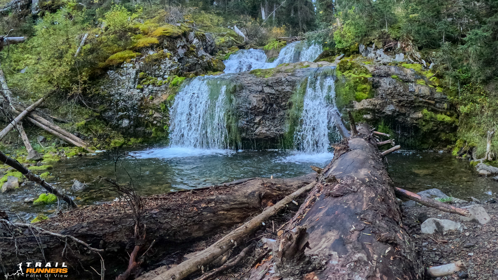
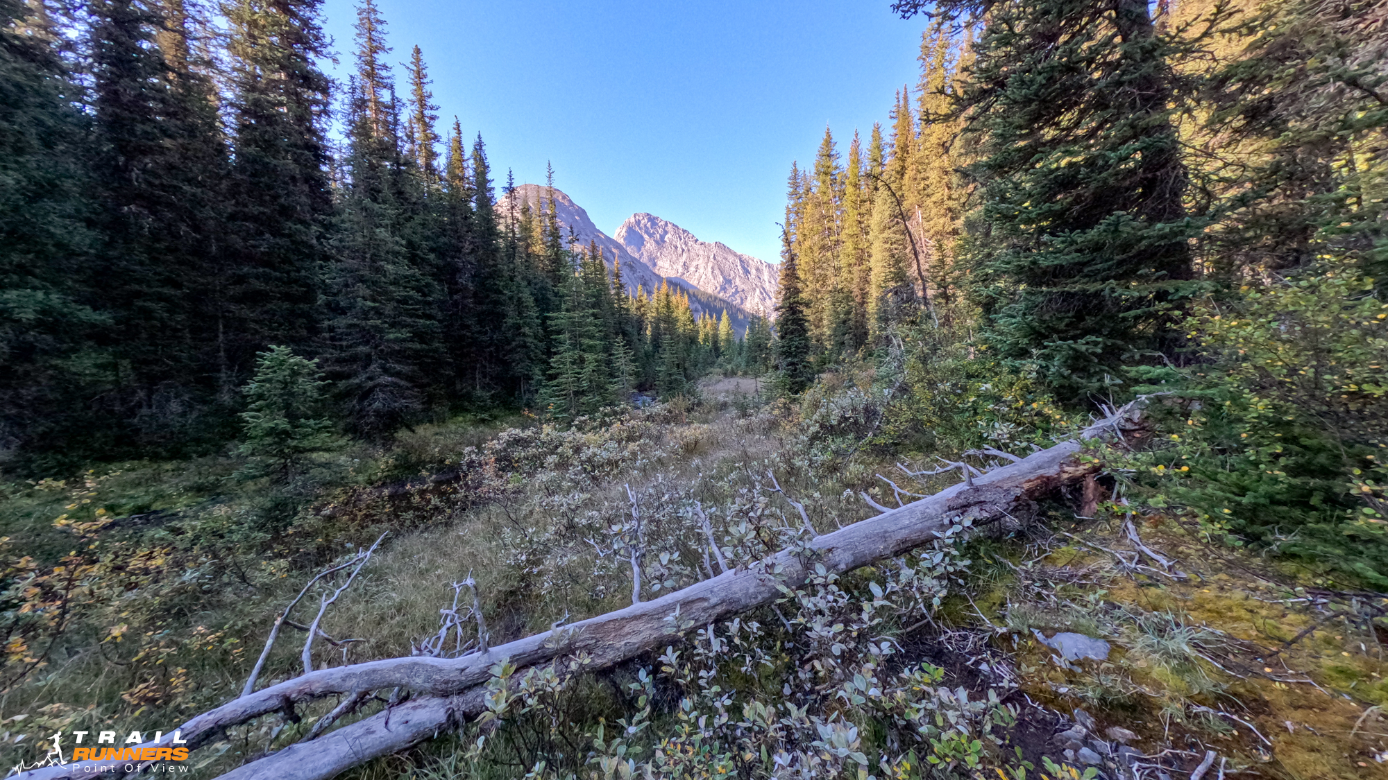
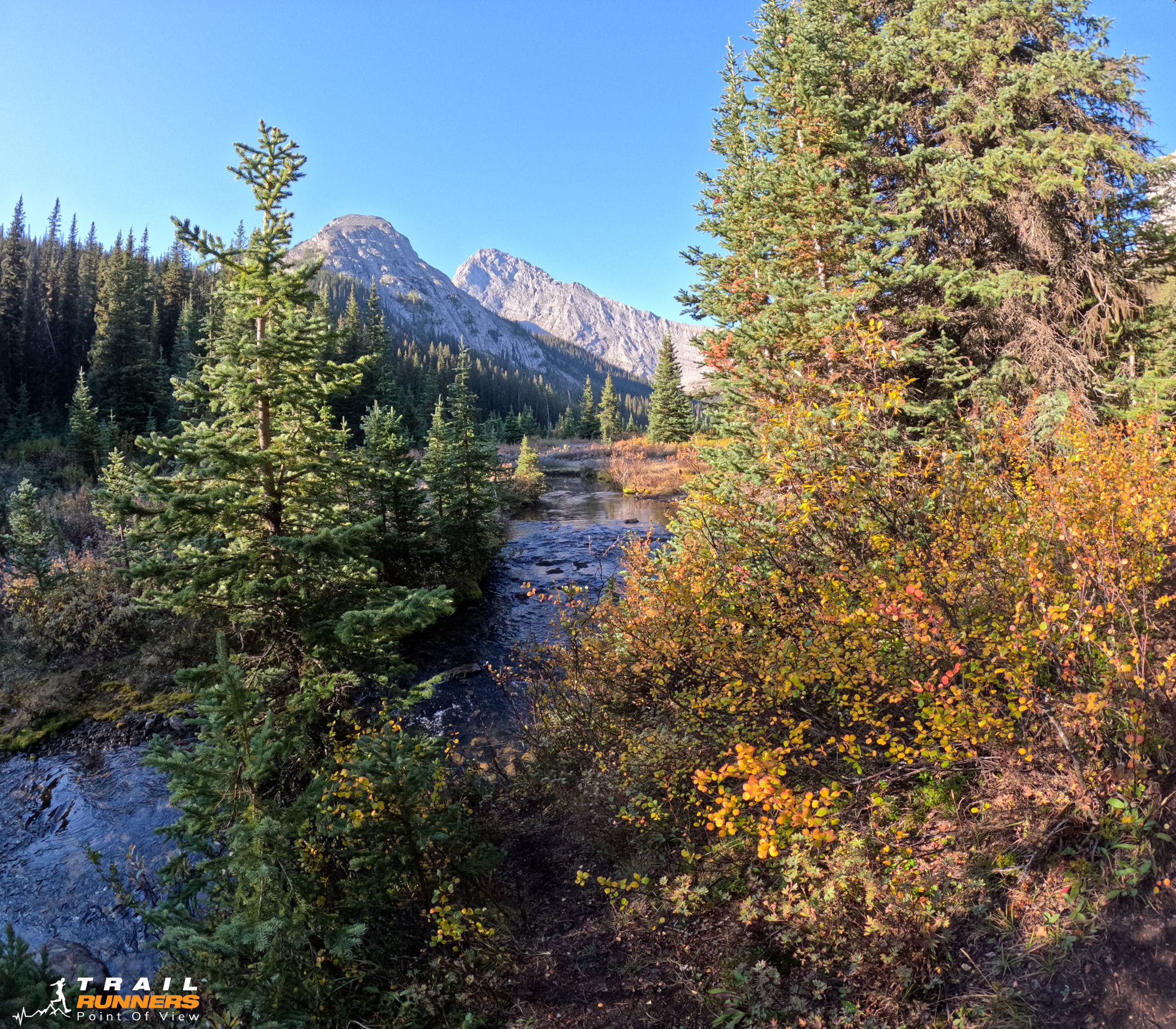
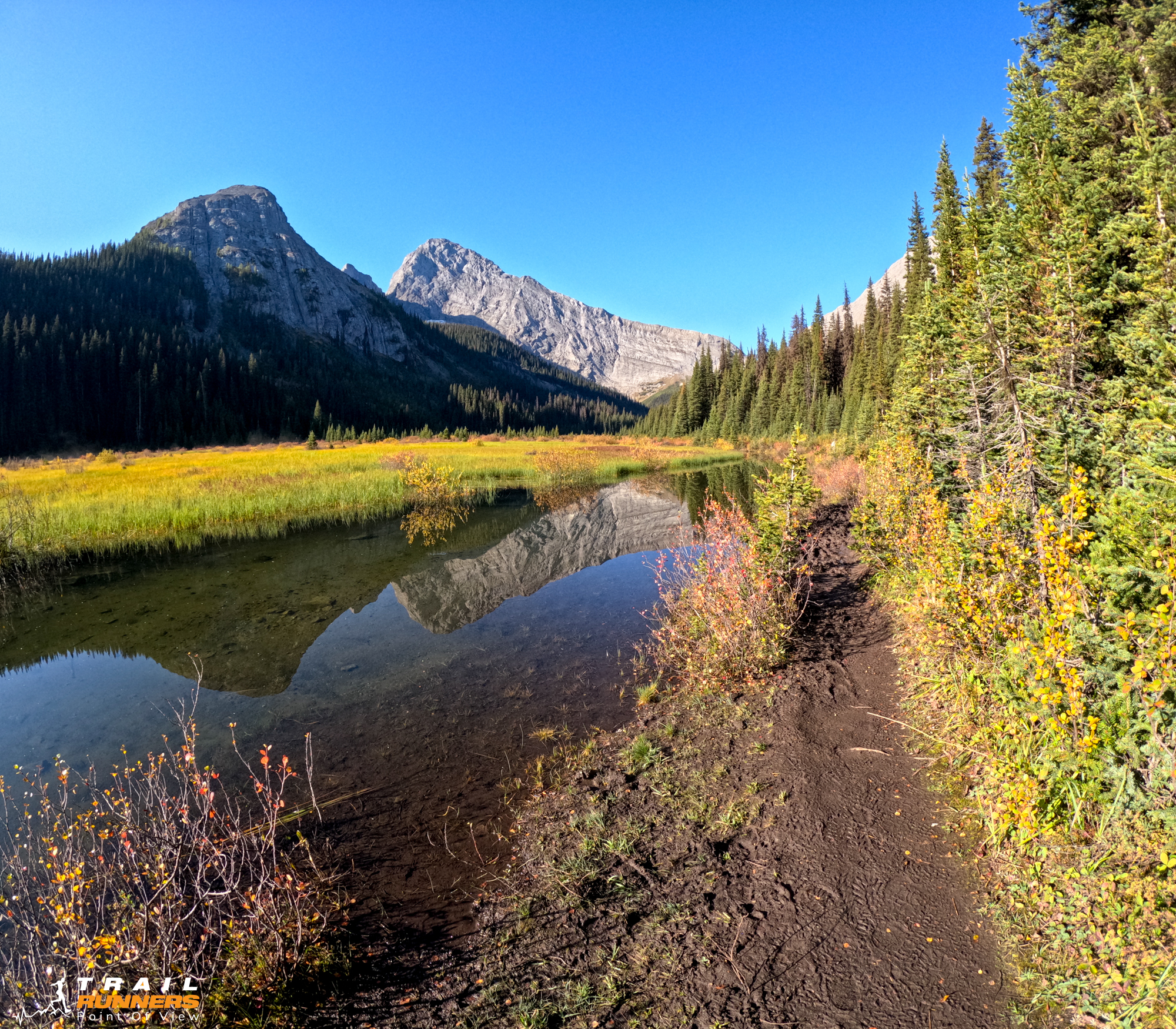
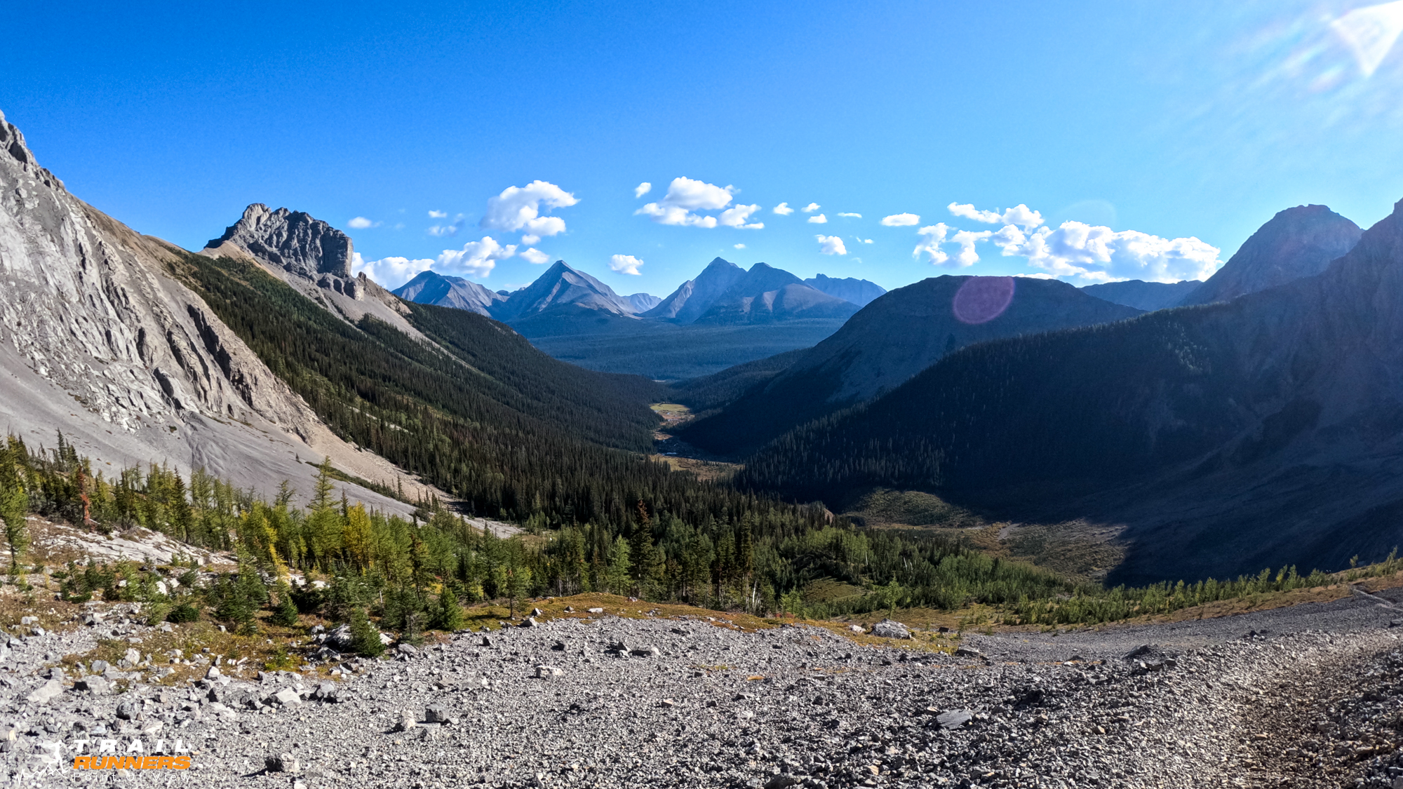
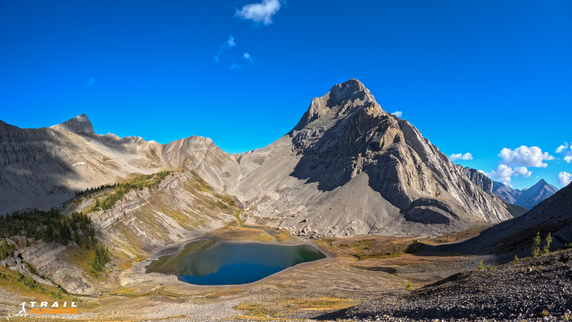
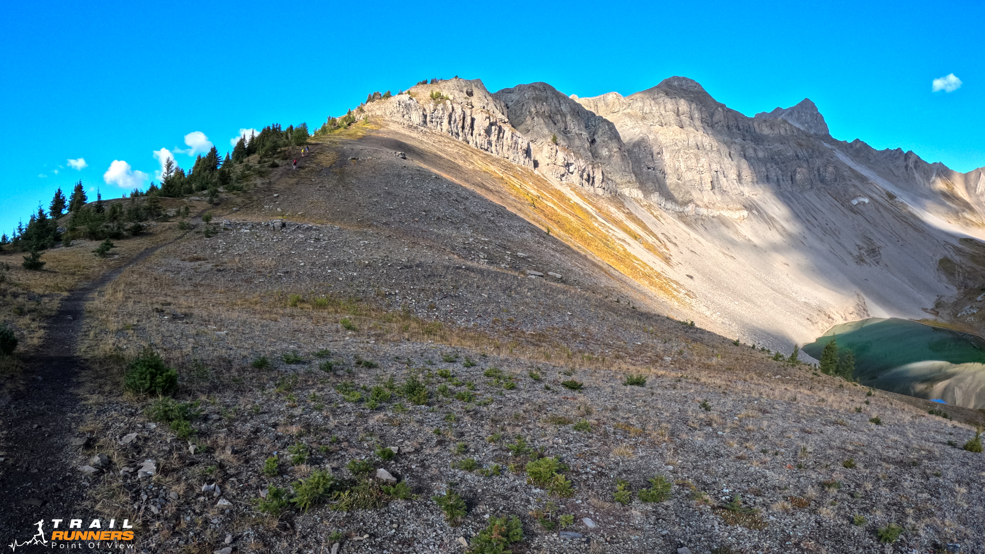
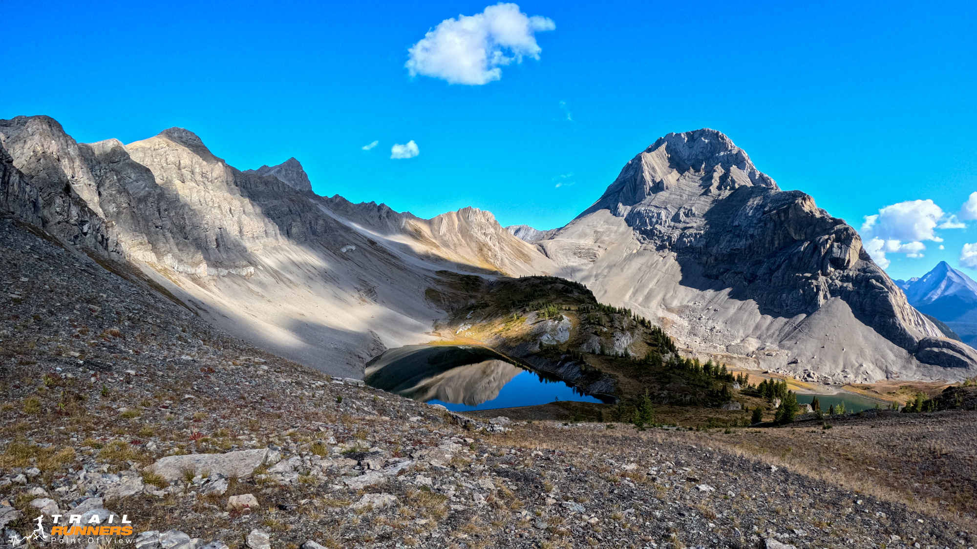
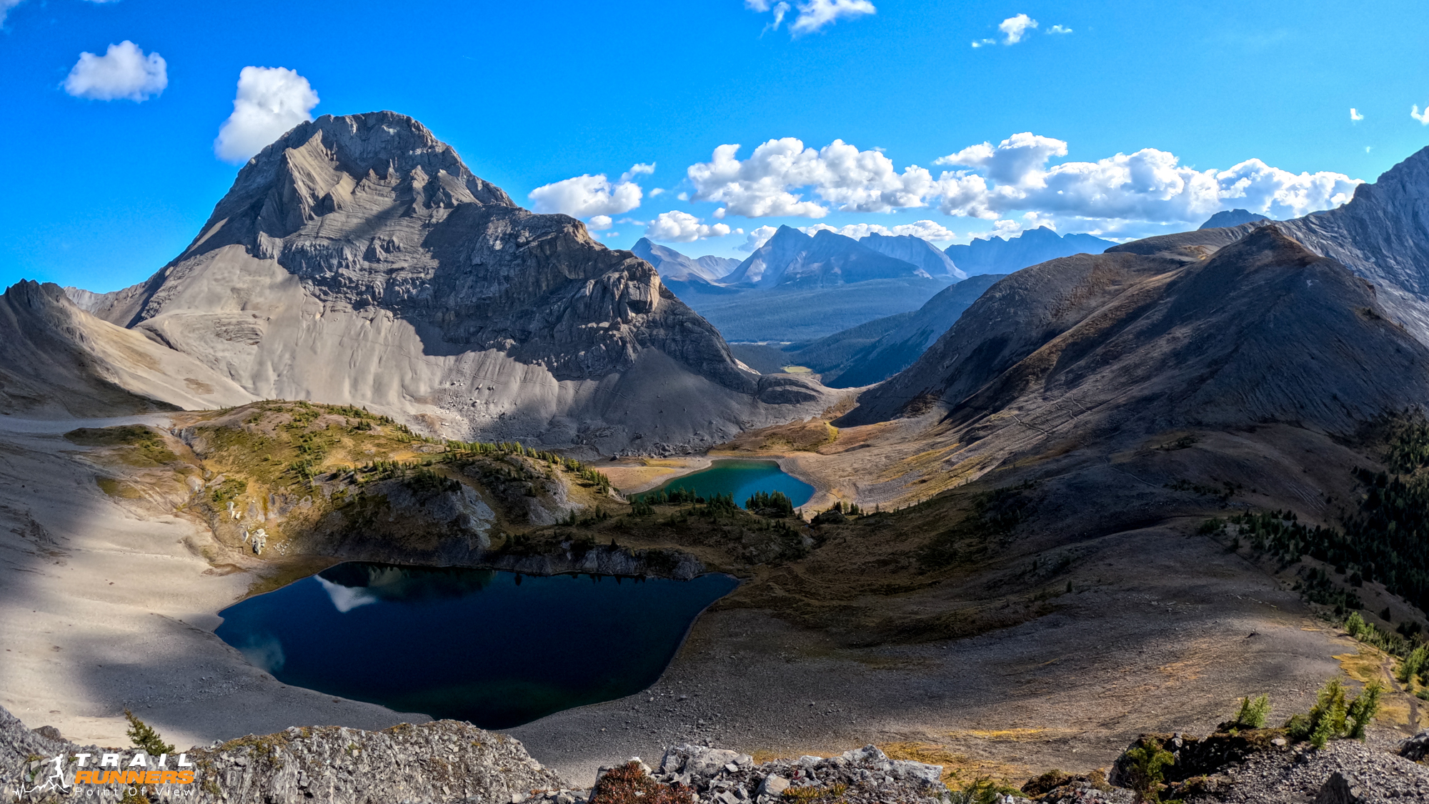
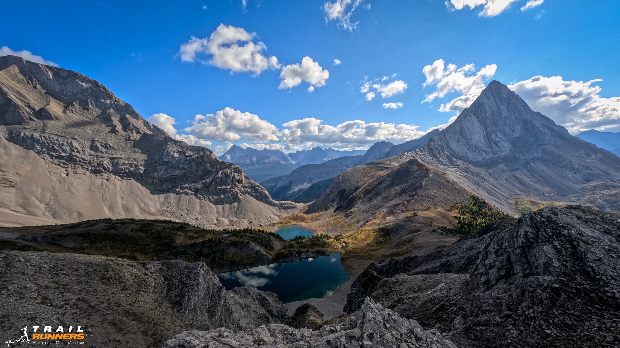
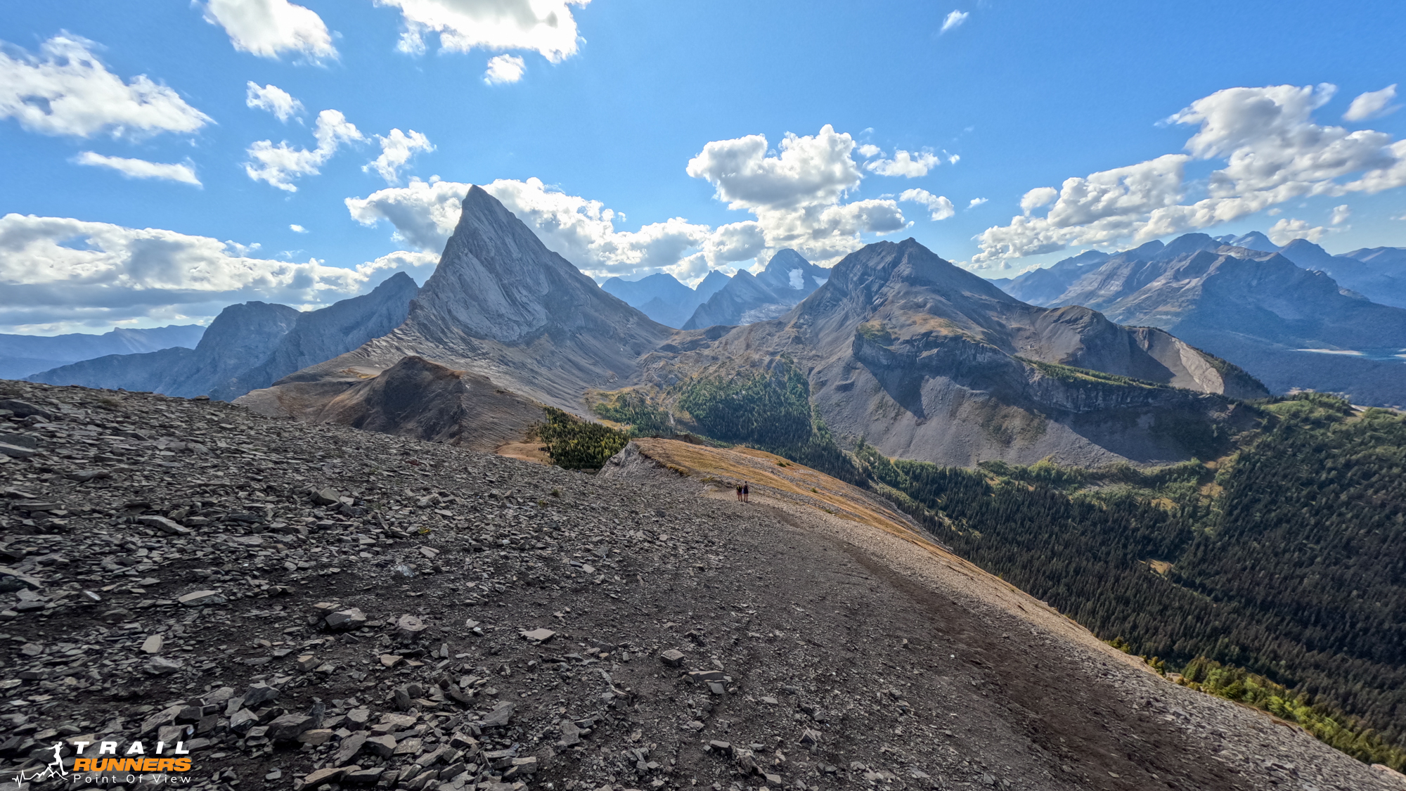
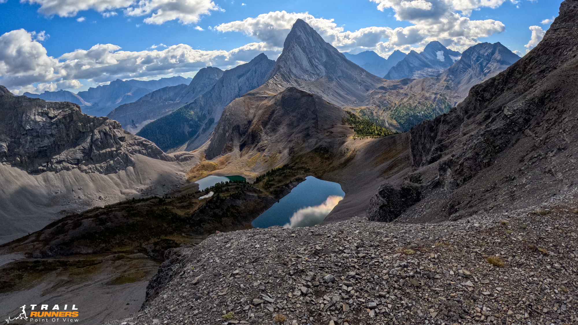
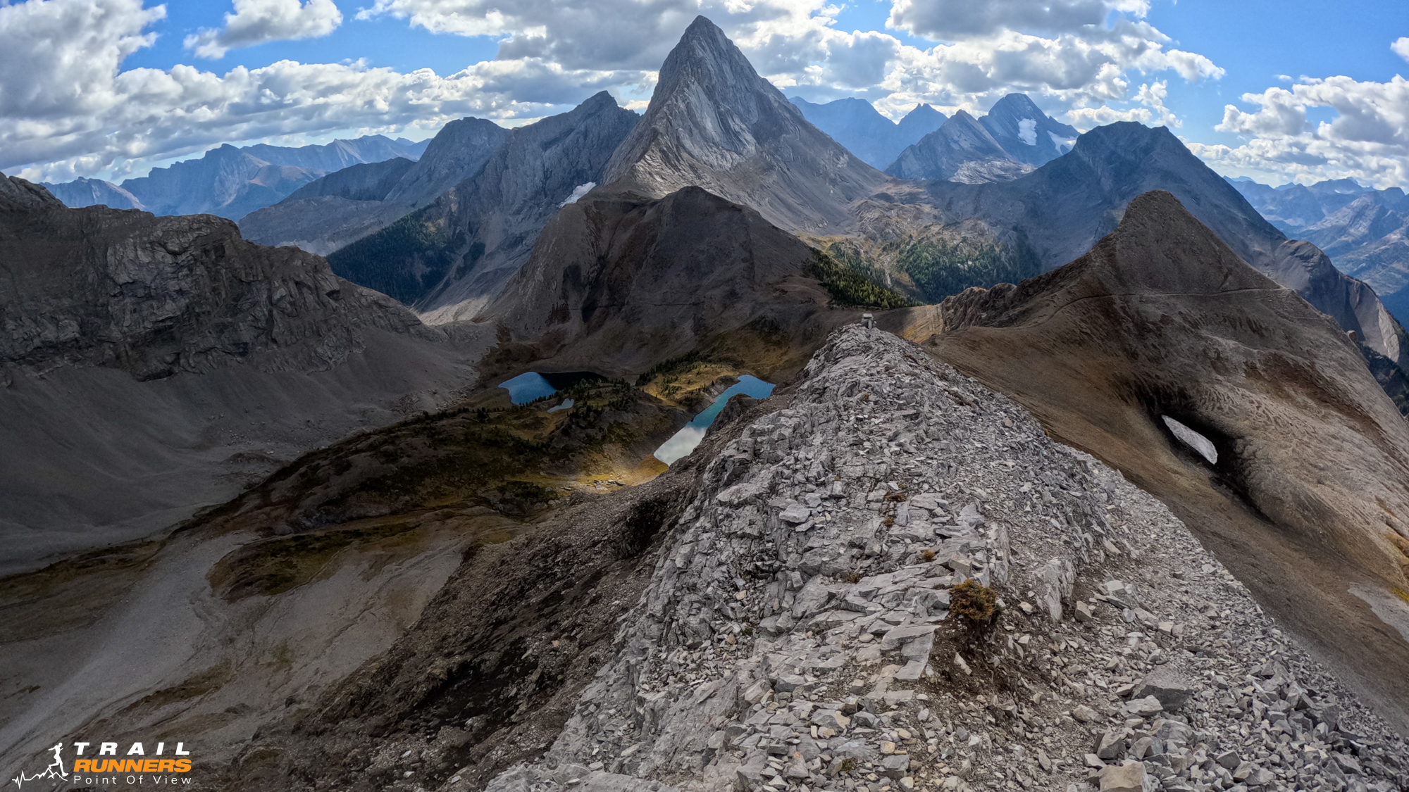
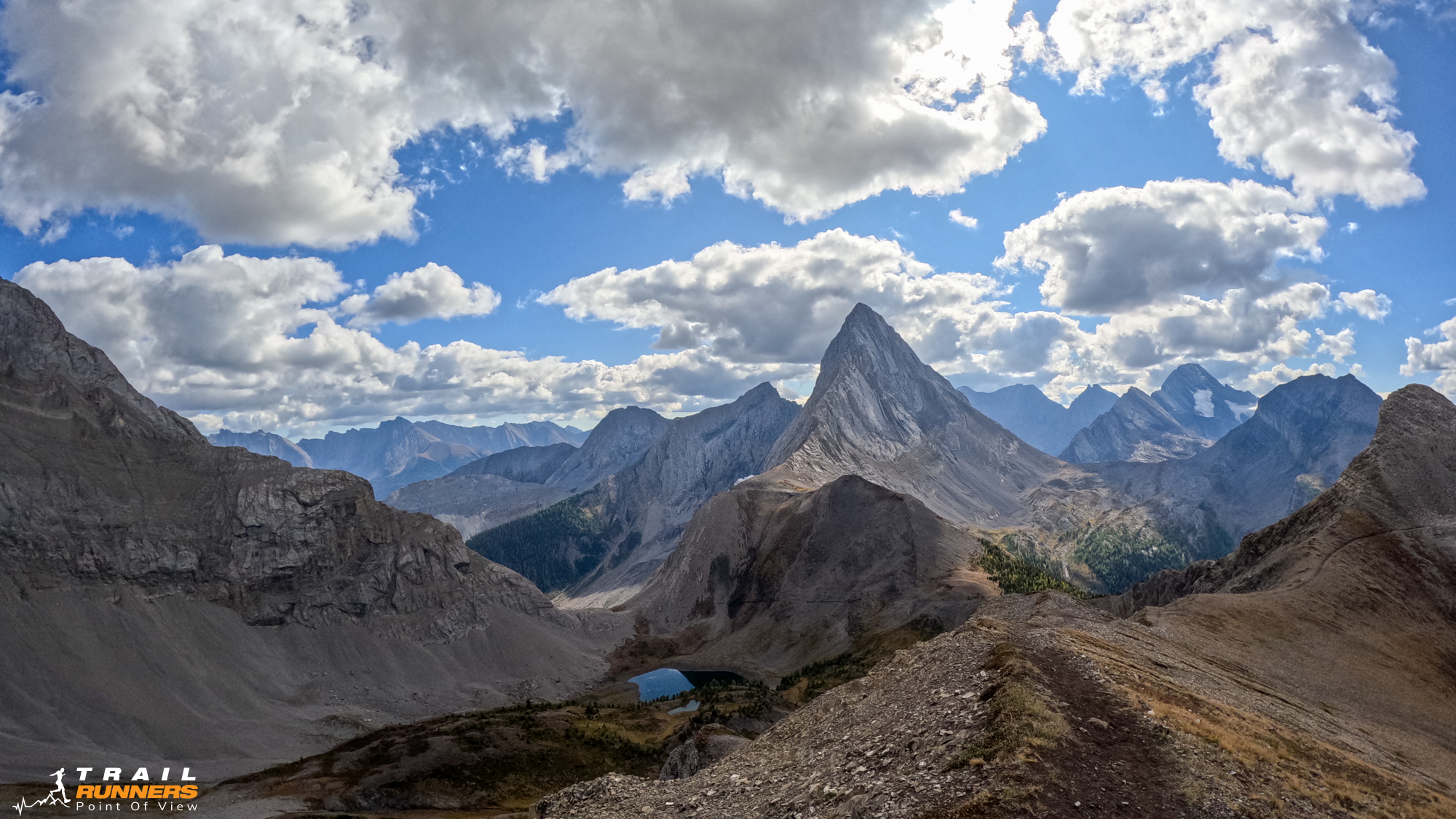
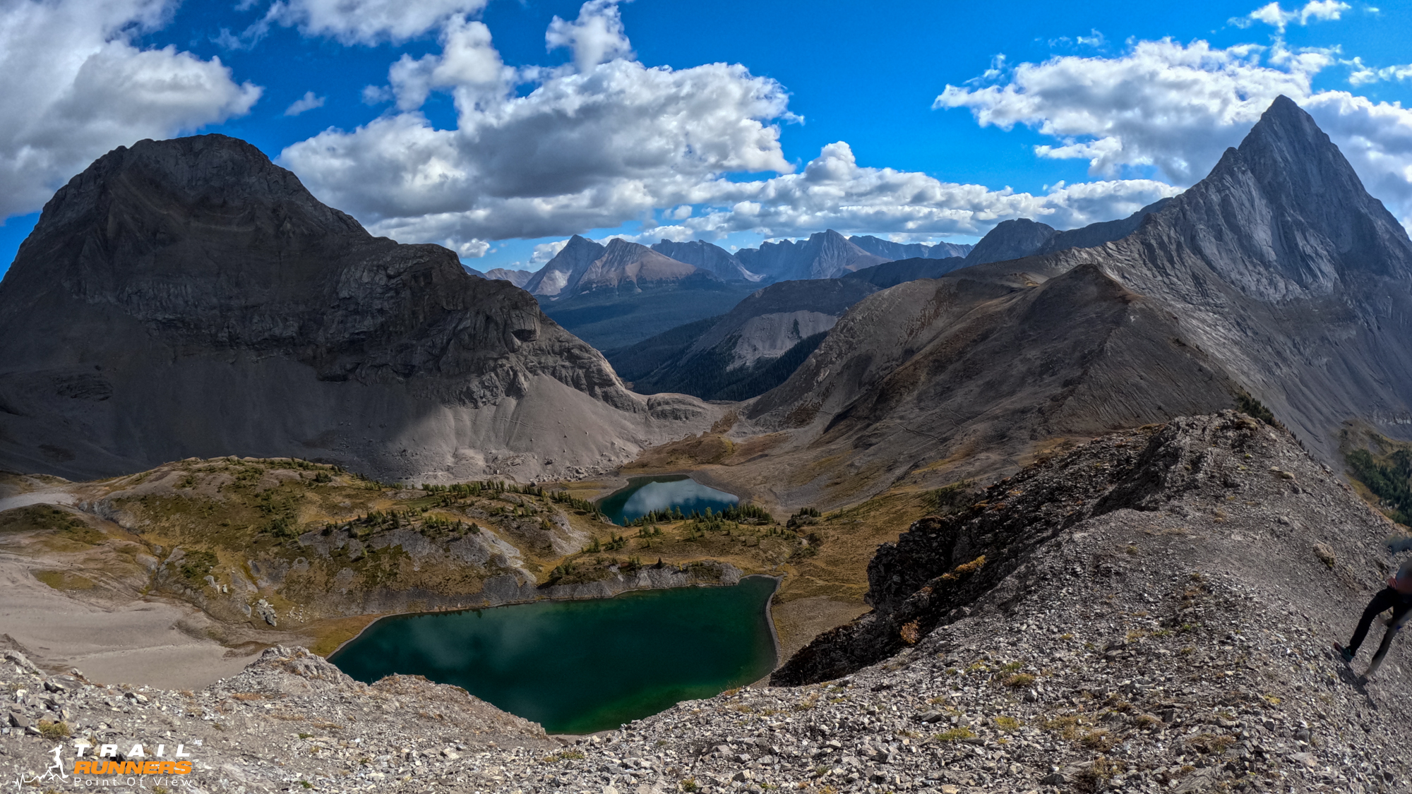
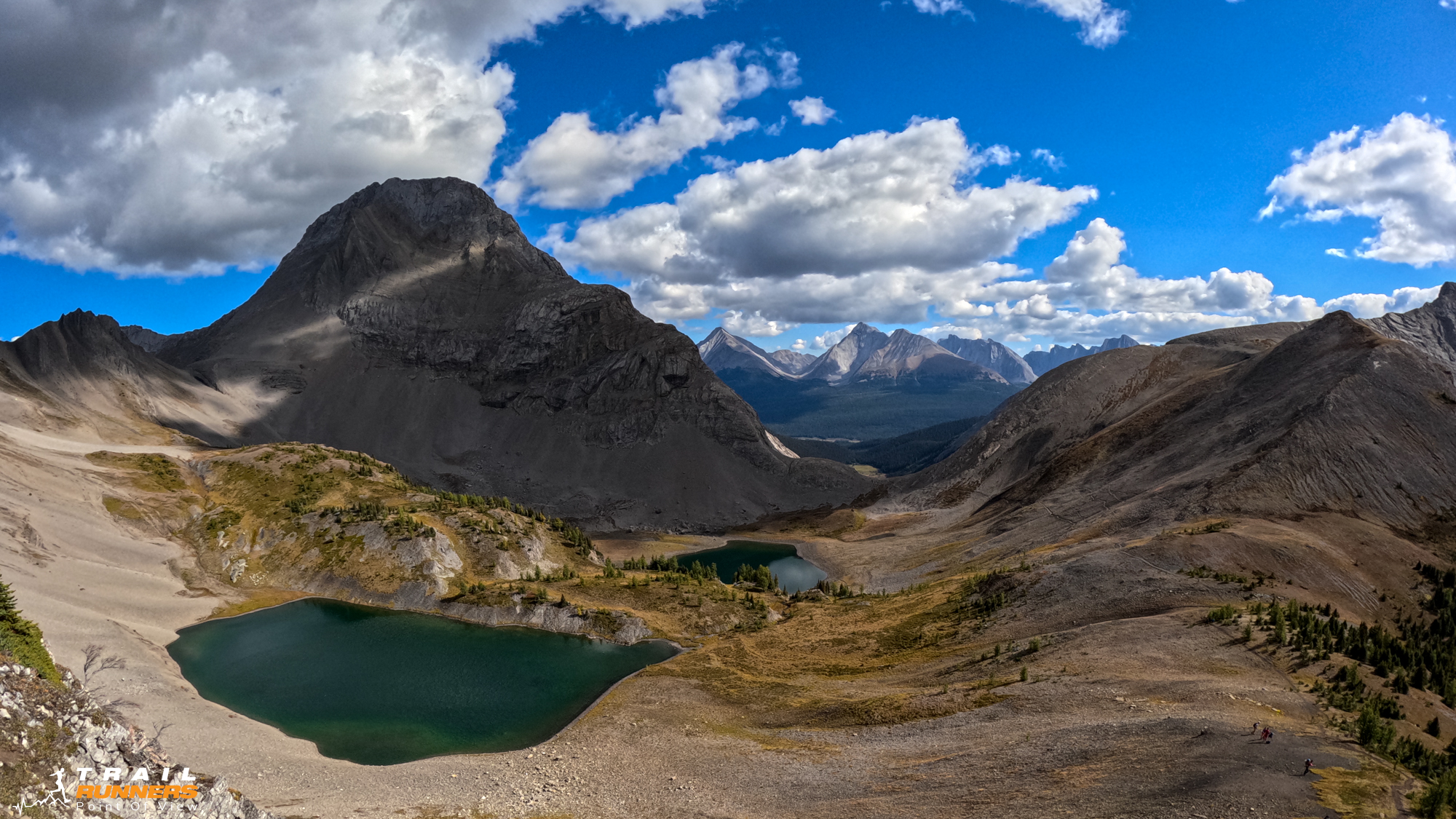
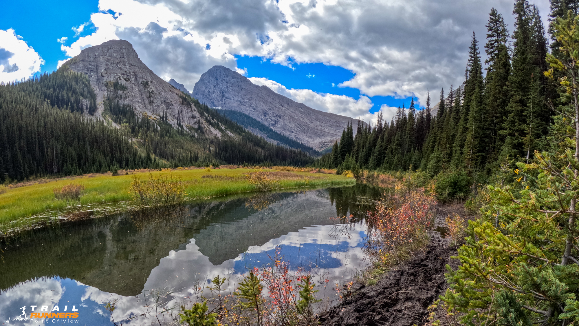
At about 8km you crest the top of the hill to see a lake down below. For about 500 meters you can run past a second lake before you start to climb again. I chatted with a couple of guys with fishing rods who explained that the lakes are stocked with Trout.
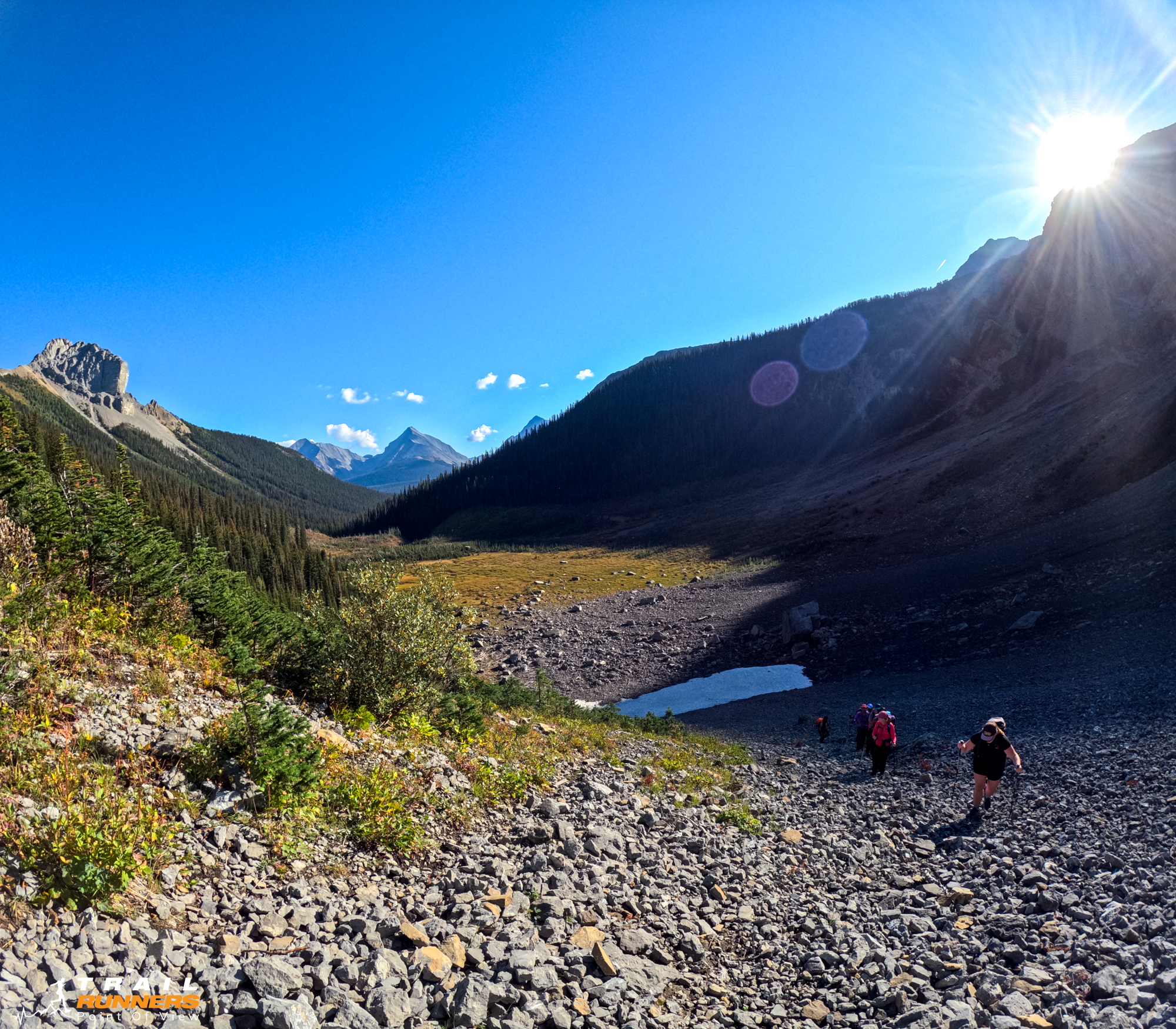
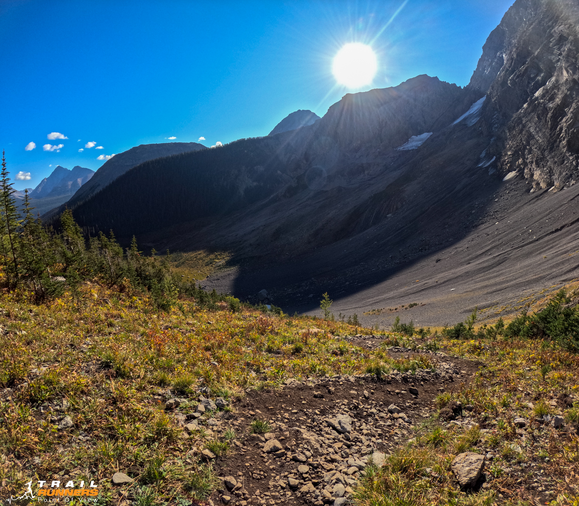
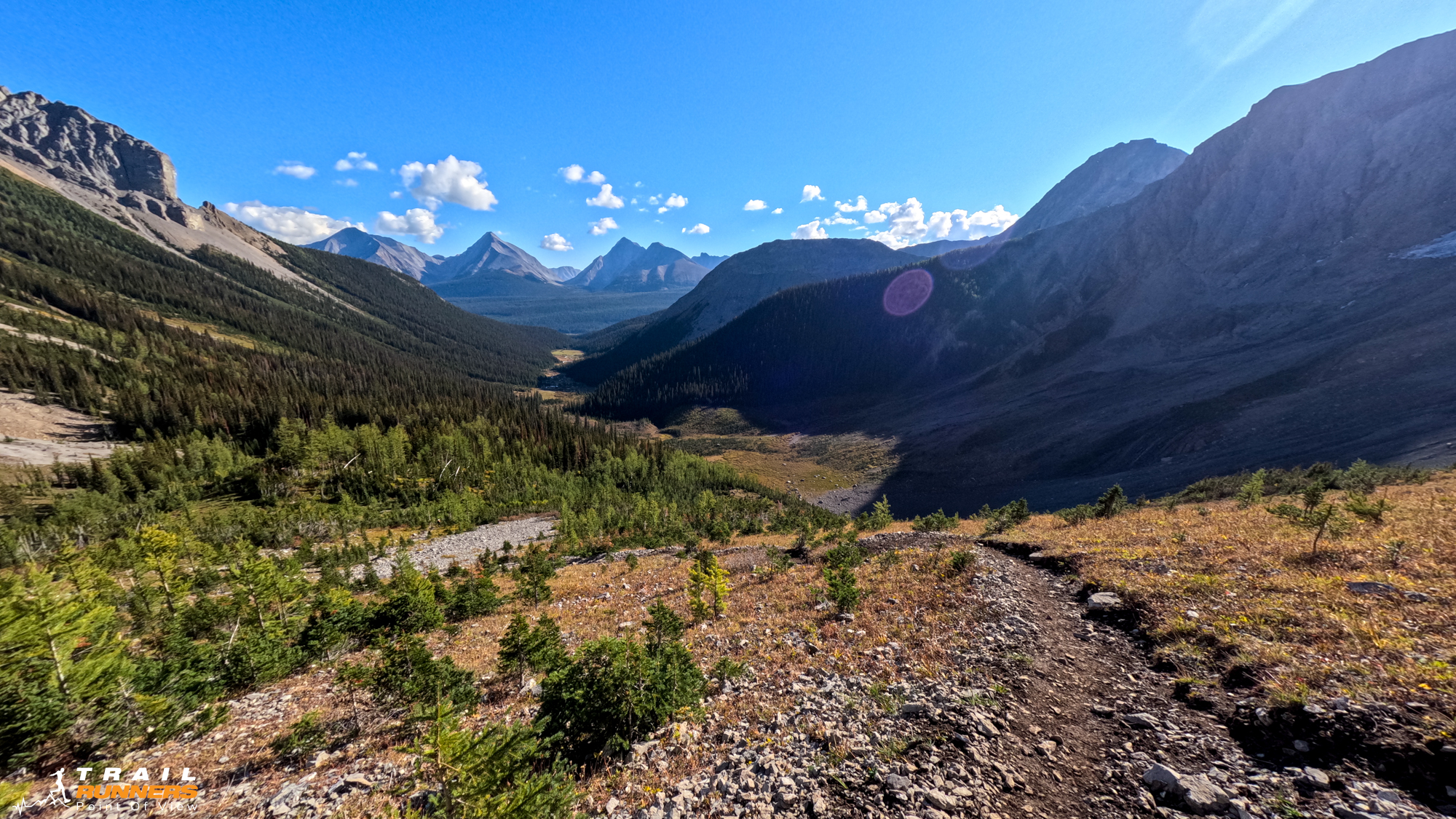
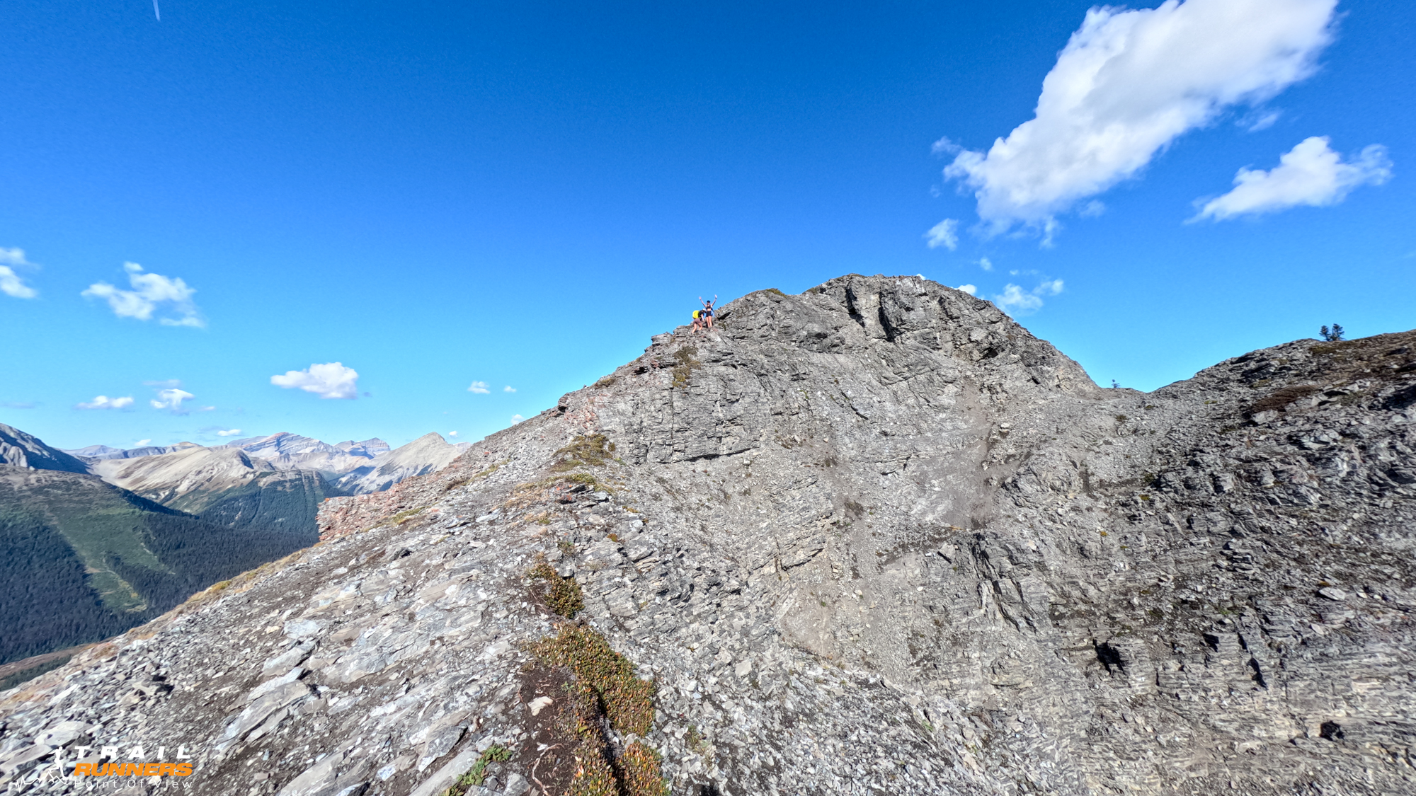
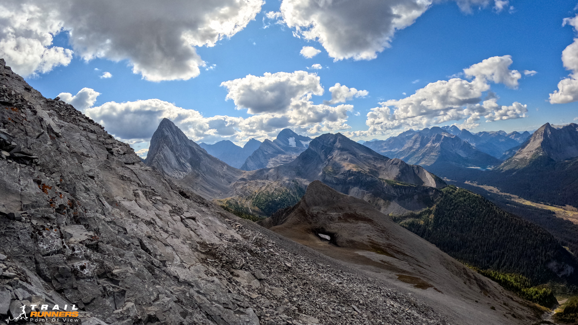
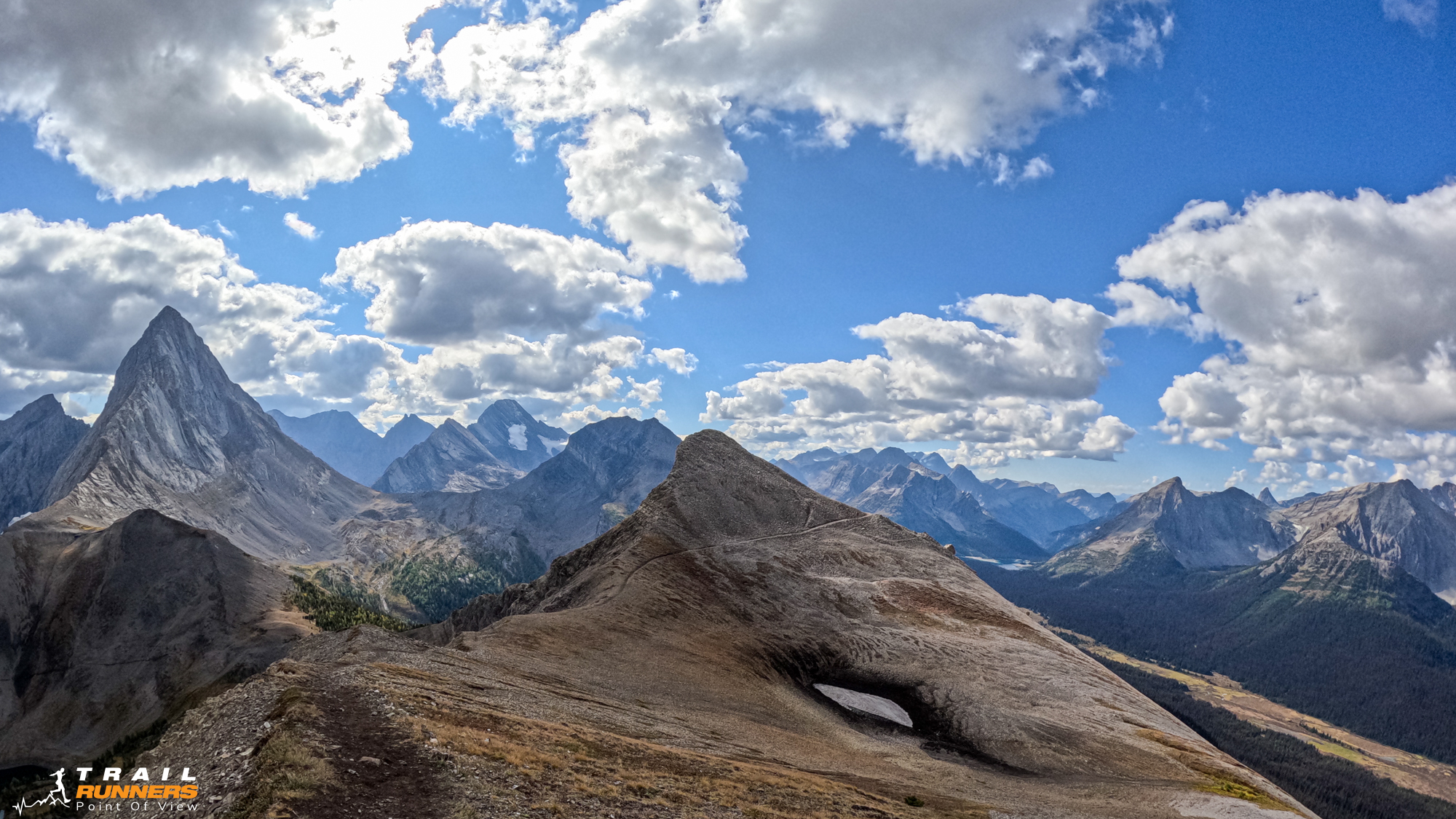
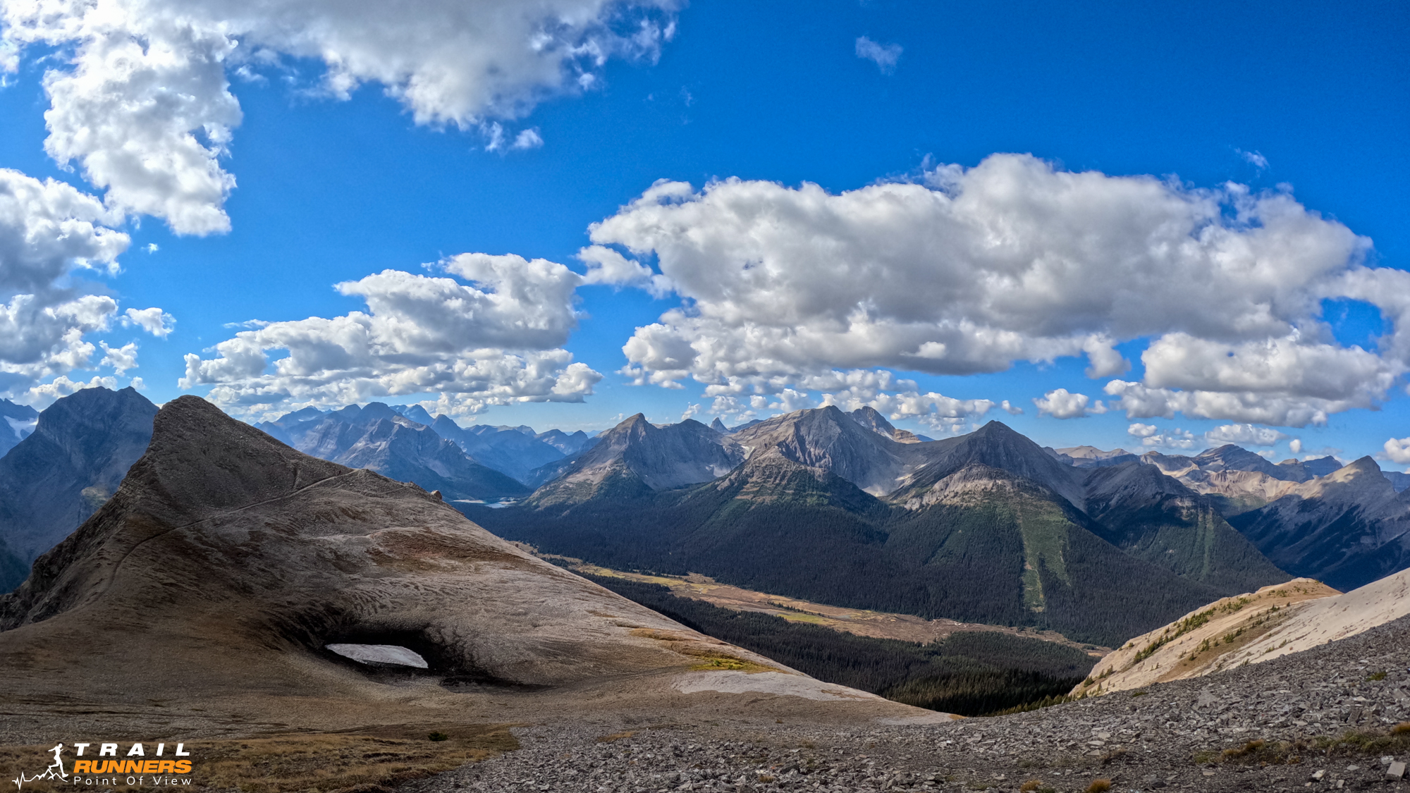
Once you get to the top of the the first section (about 9km in) you get stunning views of the lakes and surrounding peaks. I carried on to Smutwood Peak but stopped about 100 meters short of the summit as it was getting a little more scrambly then I was in the mood for. If I were to do this again I would likely turn around at about the 9km mark.
Nutrition and Hydration
I always budget two to three pieces of nutritrion per hour expected out. Today I took 12 pieces including Gu gels and Exact bars. I also packed a PB and J sandwich for a little picnic along the way. I took 2 liters of water in my bladder and my 500ml Salomon filter flask. Definitely overkill as there are lots of places to fill up for the first 6km. I’d always rather err on too much water than not enough.
Gear
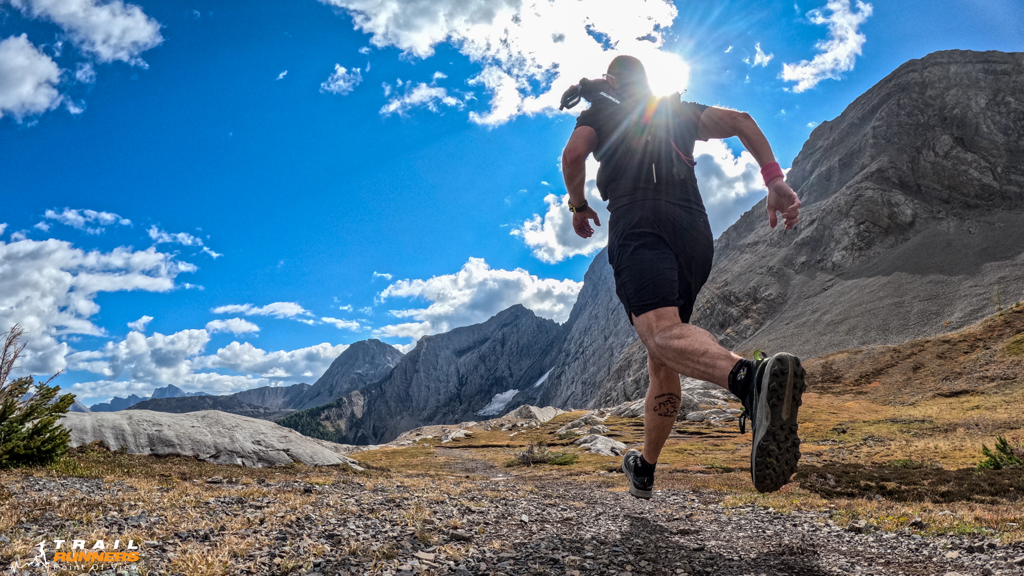
All photos and video were taken with the GoPro Hero 11 on a Volta grip. I carried it the whole run.
I took my Salomon ADV 12 with my quiver and had my BD Carbon Z poles. I did not pull the poles out but largely only because I was carrying my GoPro.
As always when in K-country bring the bear spray and keep it handy.
I knew I would be out of cell coverage so I brought our Zoleo GPS device (alternative to Garmin inReach).
One Response