The Story
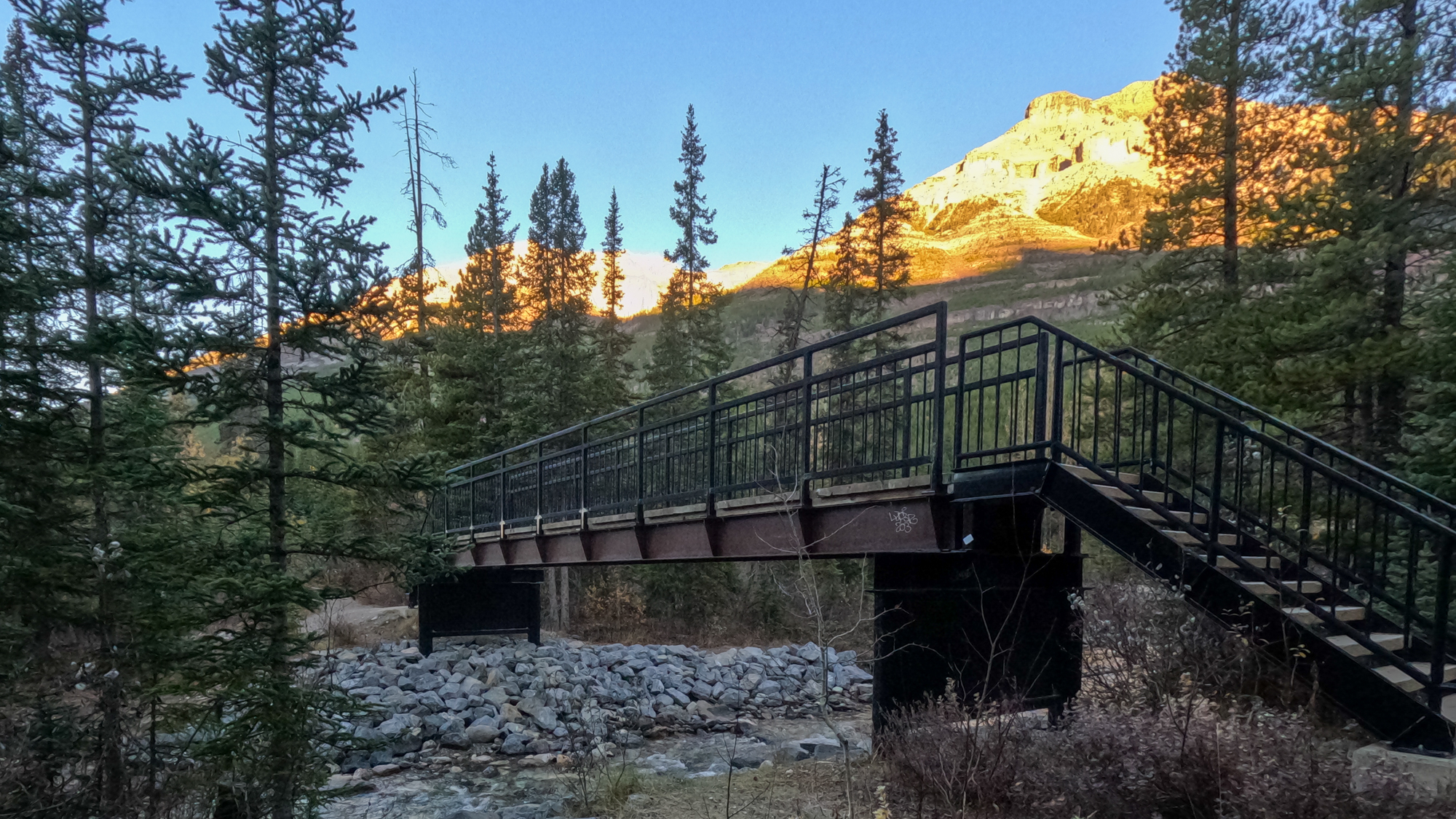
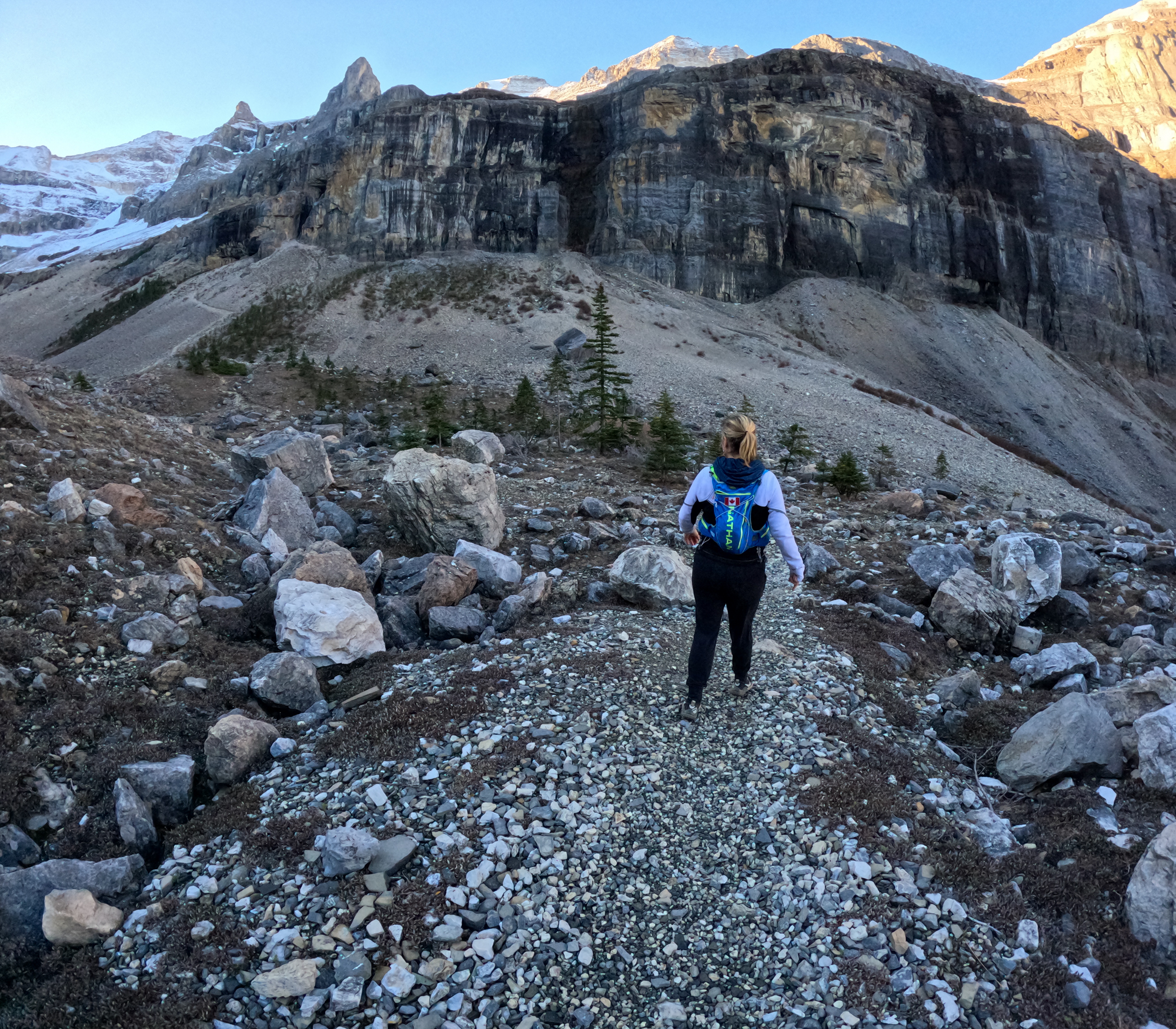
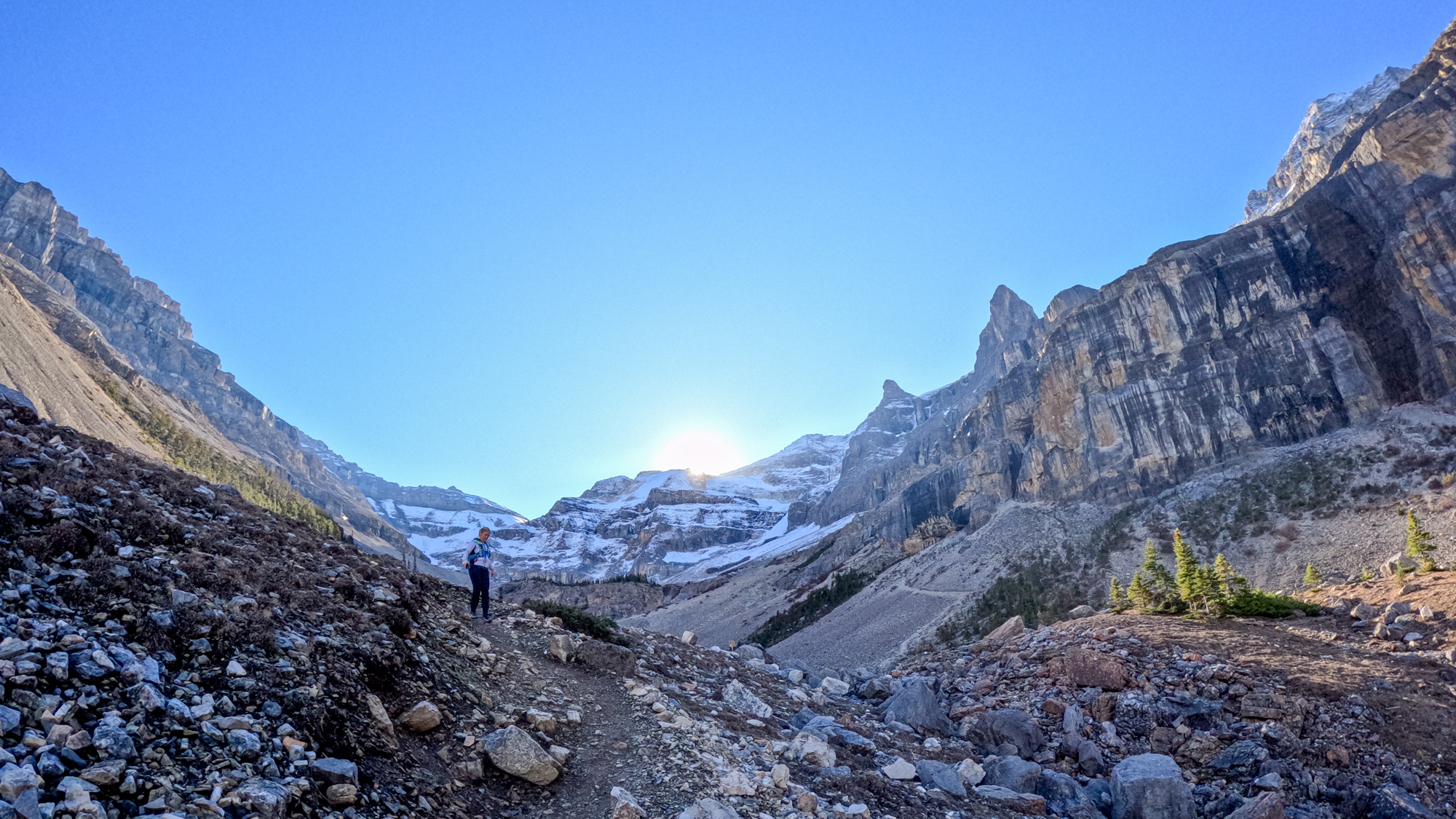
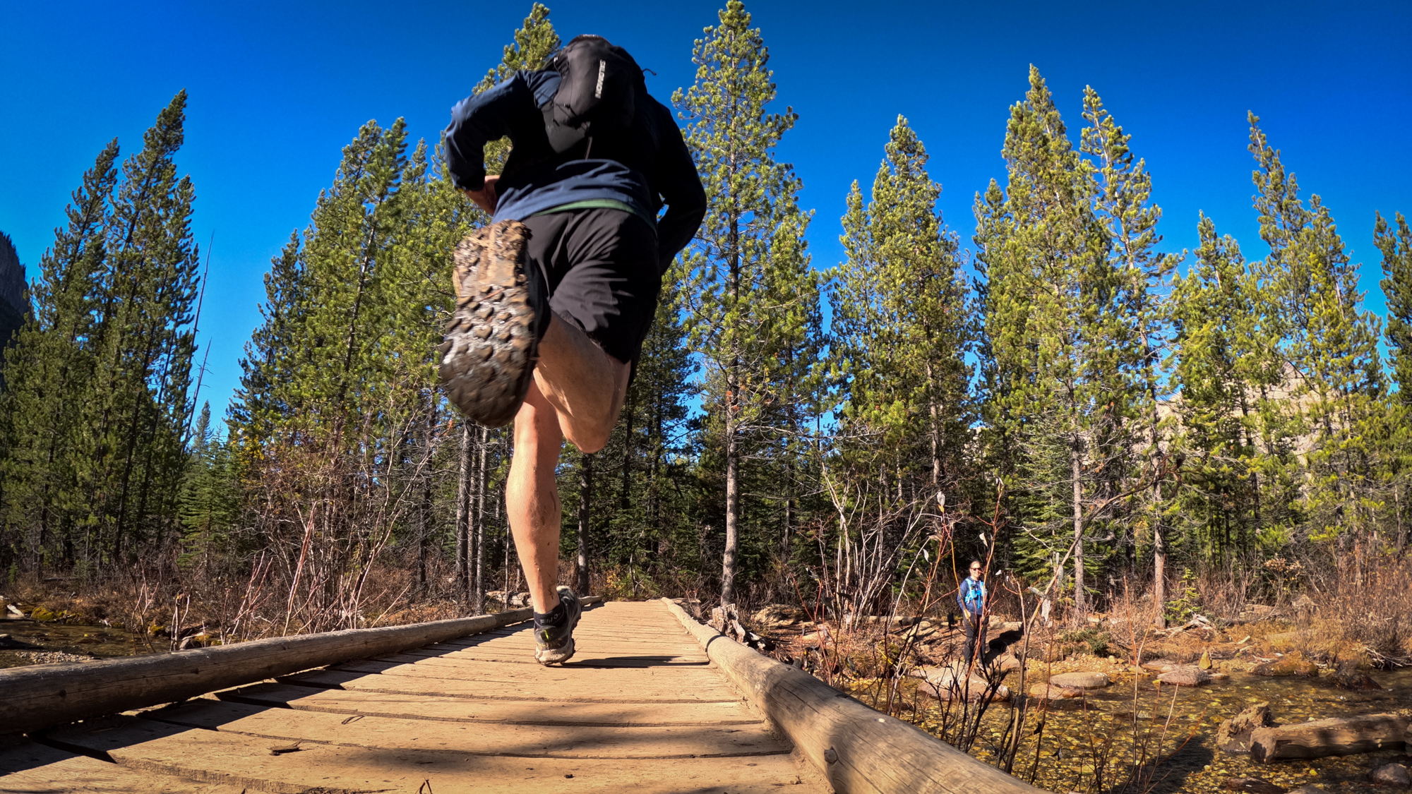
This was day 2 of my sister Judi’s visit. We met some run friends up on Burstall Pass the day before and they had suggested Stanley Glacier Trail as a relatively easy follow up run. I was just pleased that Judi was up for another adventure. I had not done Stanley Glacier Trail before so I was quite excited to get out and explore.
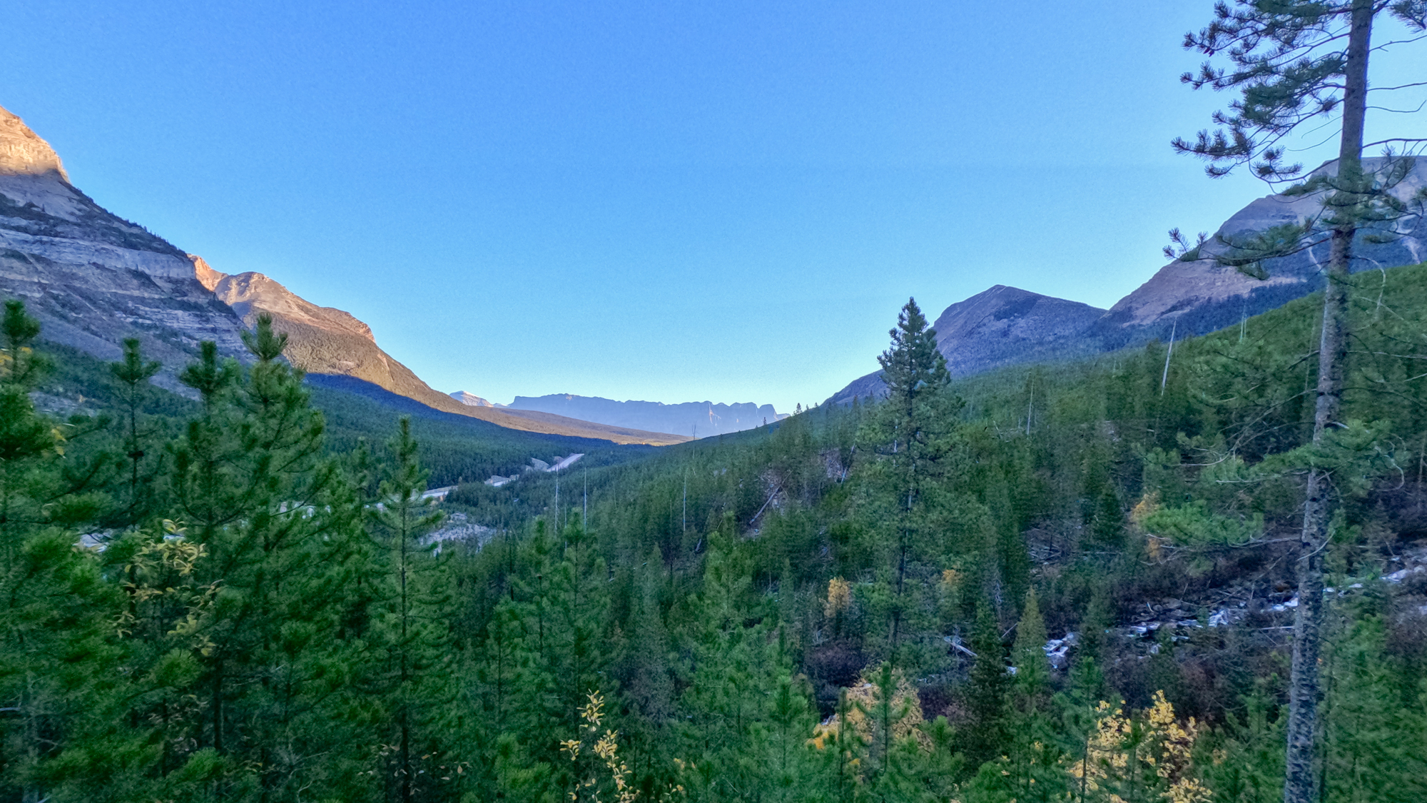
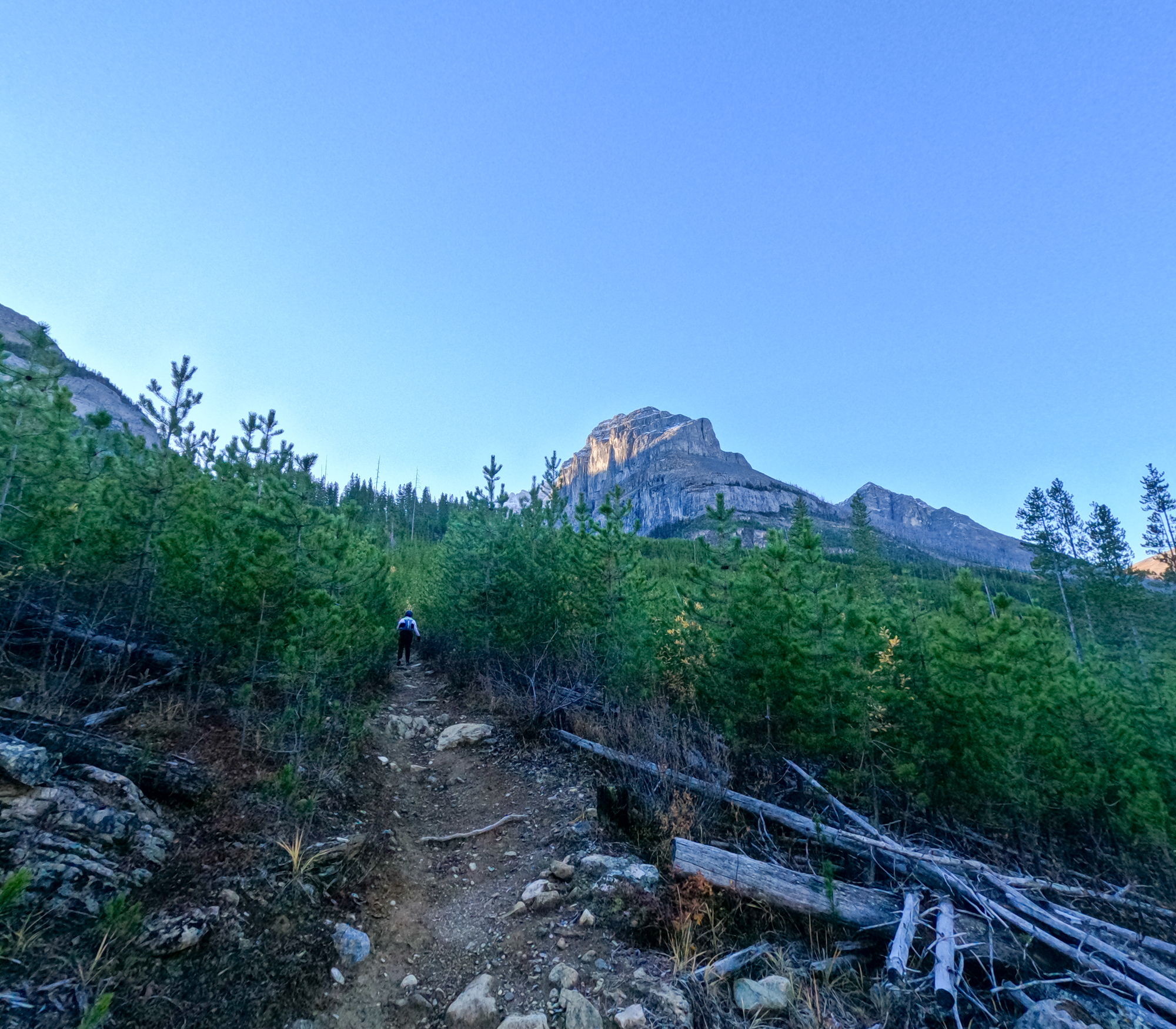
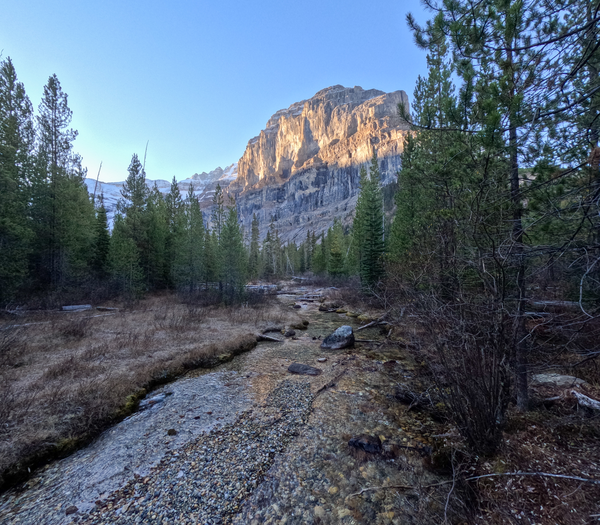
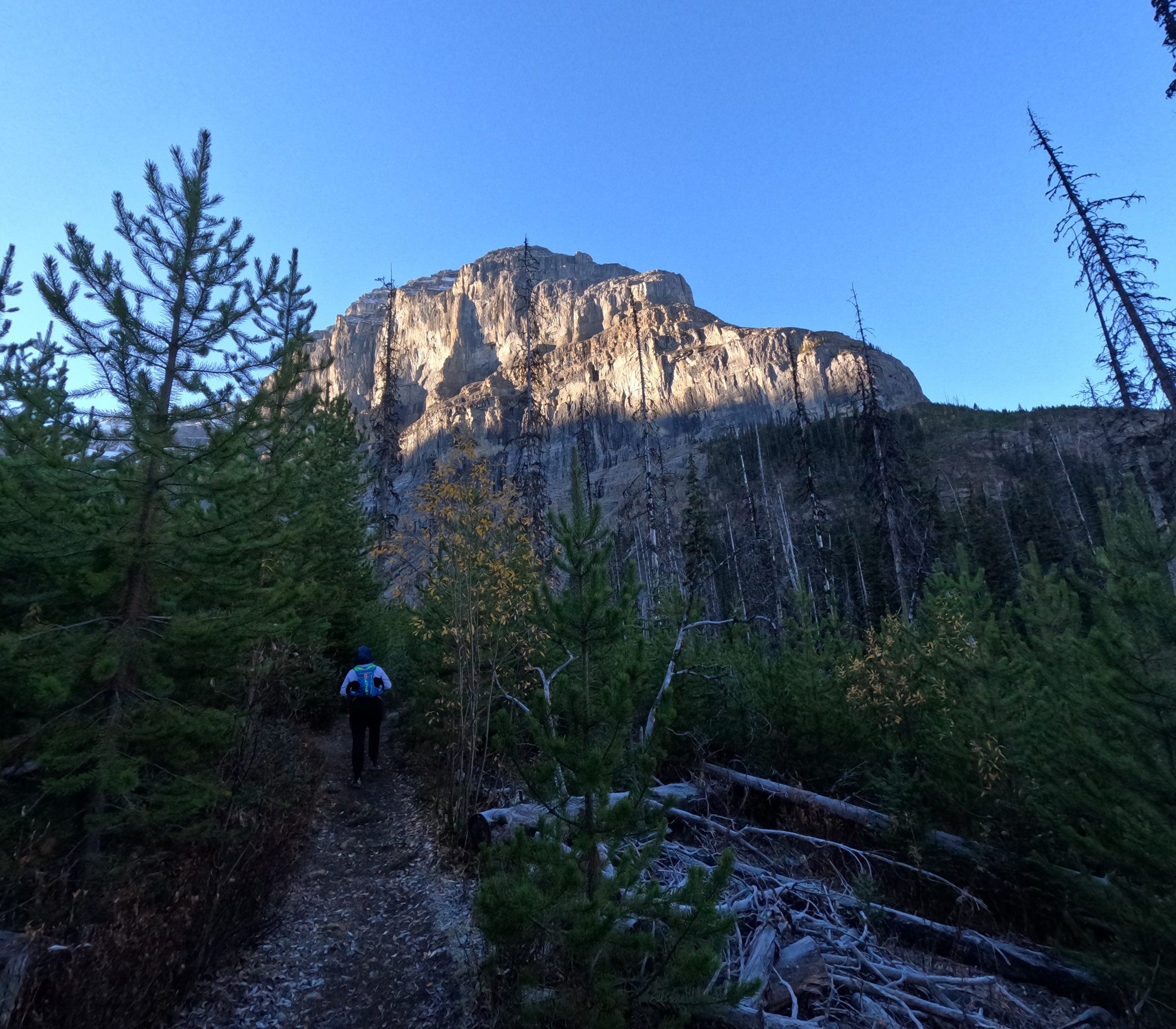
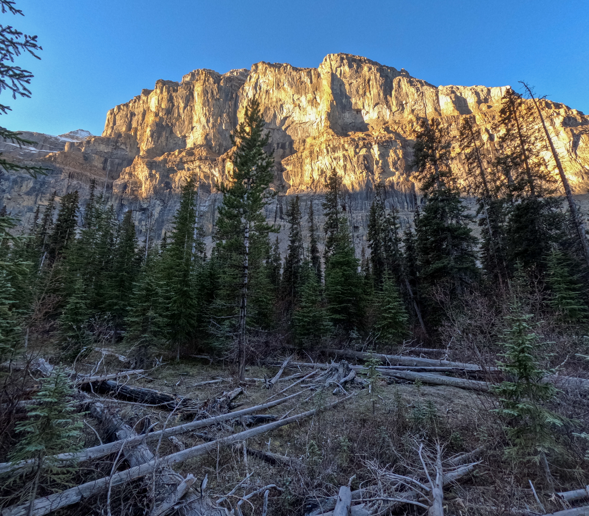
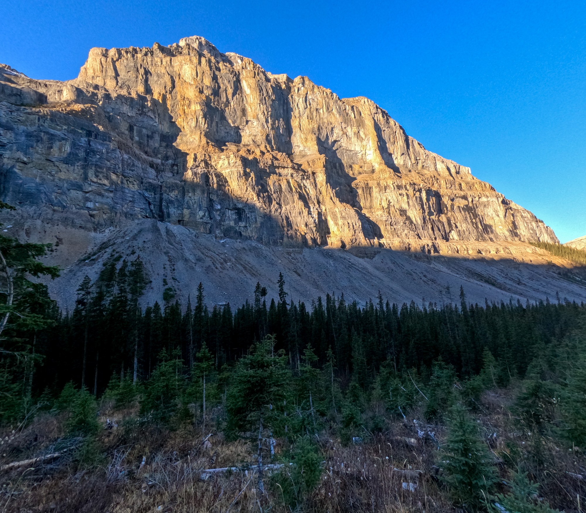
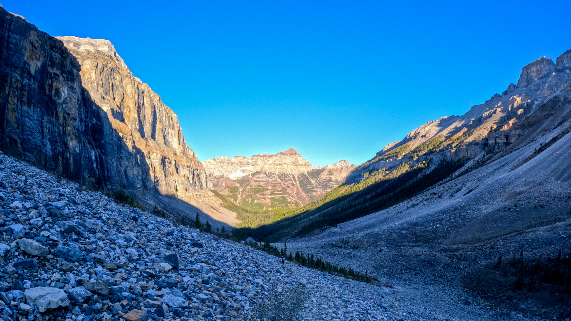
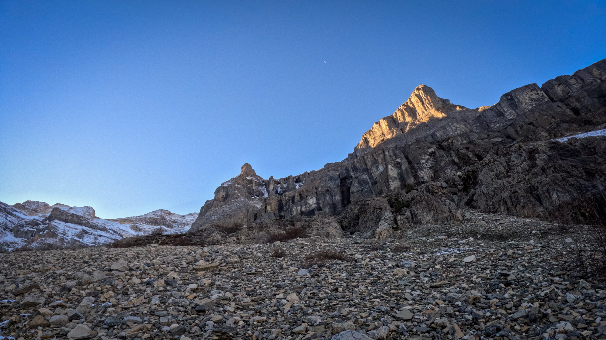
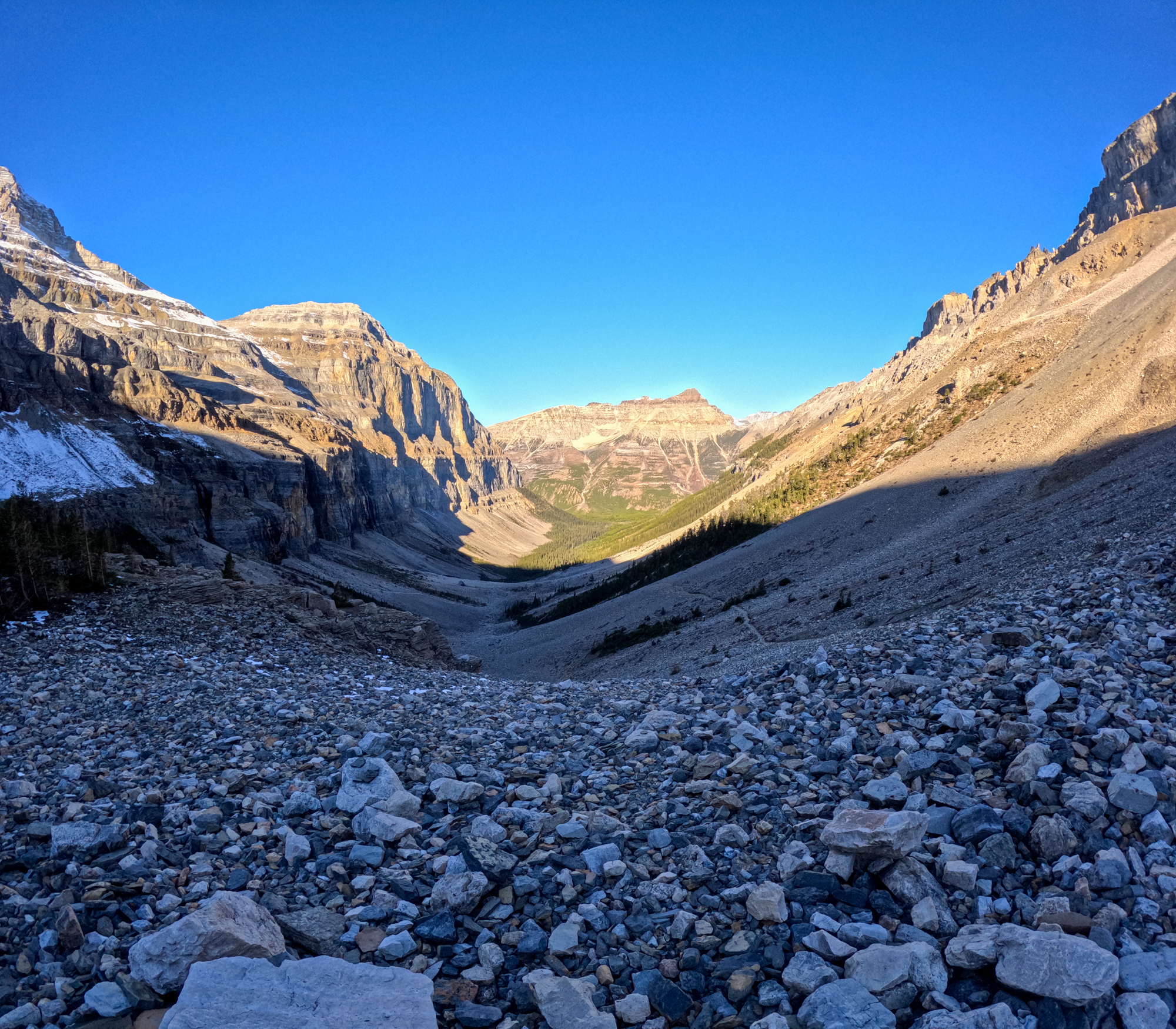
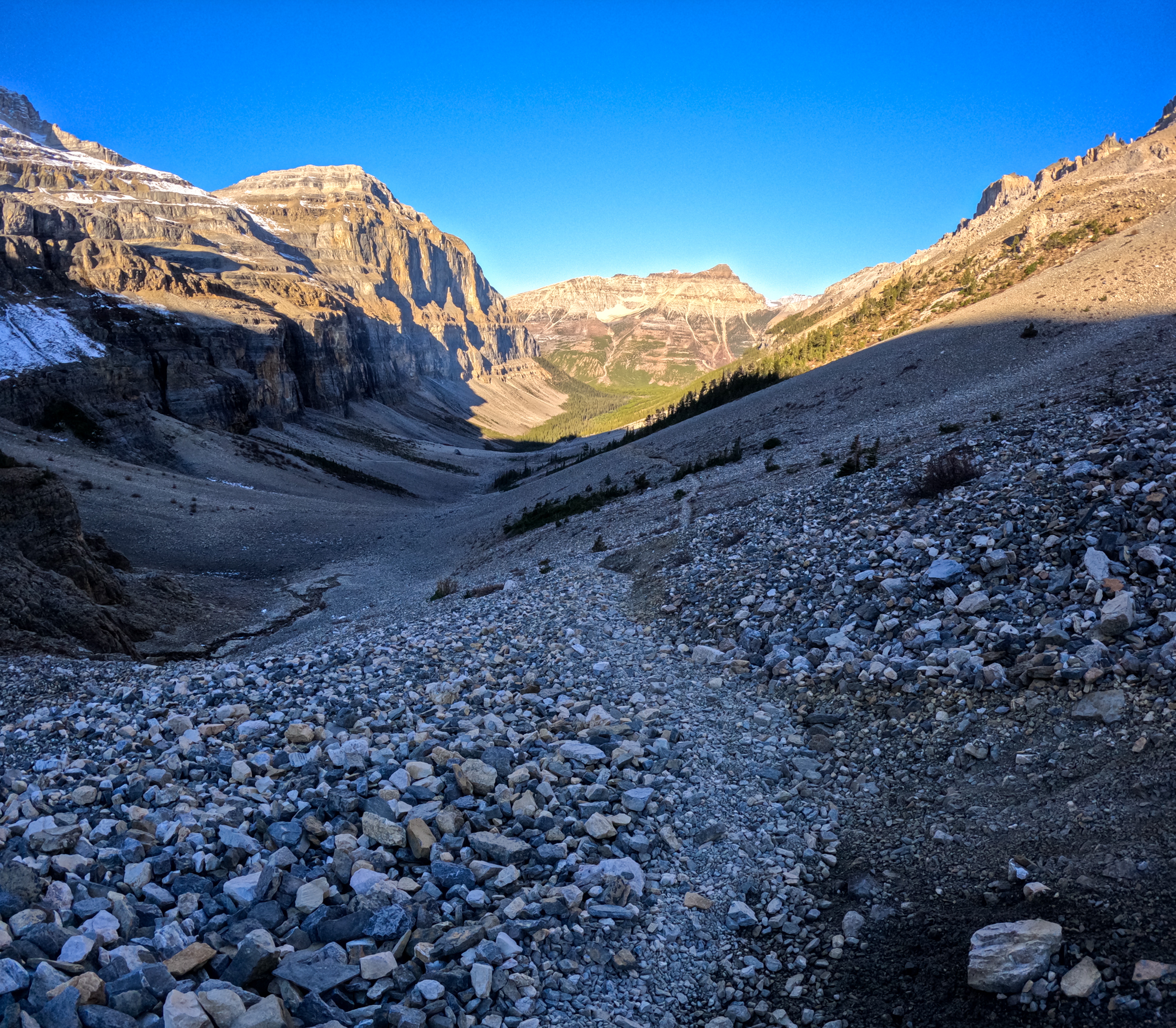
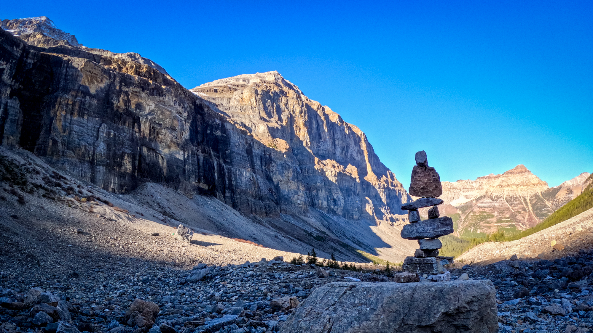
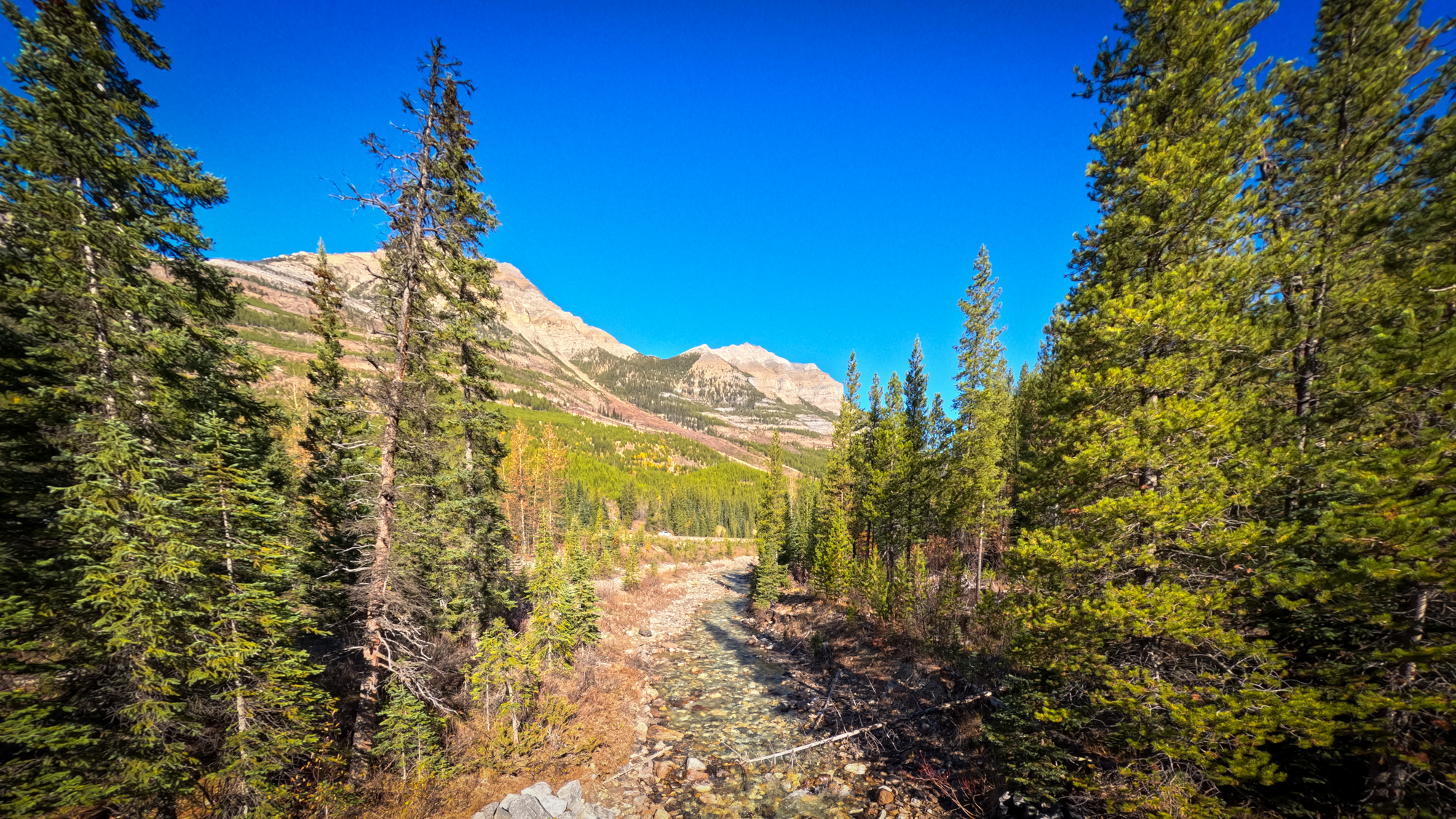
Nestled within Canadian Rockies of British Columbia lies Kootenay National Park. One of the park’s hidden gems is the Stanley Glacier Trail, a relatively short route that provided us not only stunning vistas but also a glimpse into the ancient geological history of the region through the Stanley Headwall.
The Stanley Headwall exposes layers of sedimentary rock that are part of the Burgess Shale formation. This formation contains some of the world’s most well-preserved fossils from the Cambrian period, dating back over 500 million years. Fossils found here offer remarkable insights into the evolution of life on our planet.
The Burgess Shale: Apparently the Burgess Shale is renowned among paleontologists and fossil enthusiasts. Within its sedimentary layers, one can find preserved marine creatures that inhabited Earth’s oceans during a time when life was in its infancy. The fossils of the Burgess Shale provide invaluable clues about the diversity and development of early life forms.
We did not stop to find any fossils.
Getting There
The trailhead is located near the Stanley Glacier Parking Area, which is accessible from Highway 93 (also known as the Kootenay Parkway). We drove out from Canmore toward Lake Louise (About 35 minutes) and headed South (about 10 minutes) on Highway 93. The parking lot is fairly small so I would recomend an early start to ensure parking. Judi an I got there around 8:30am and were the second ones at the lot. By the time we came back down the lot was quite full.
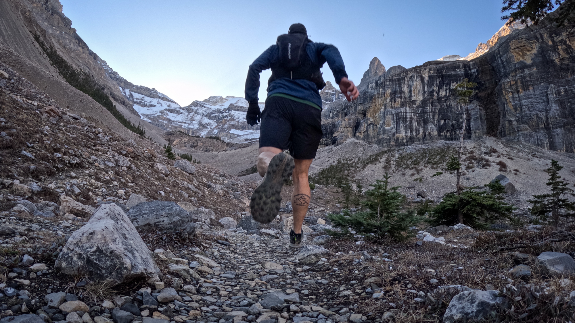
Runnability
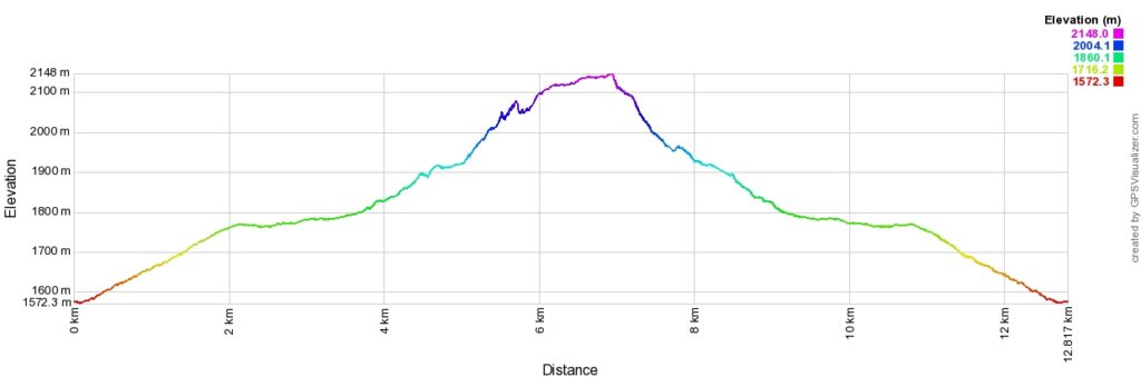
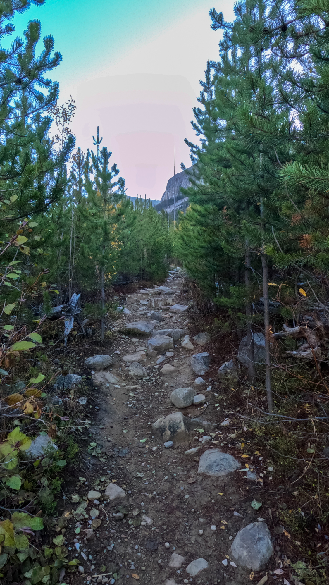
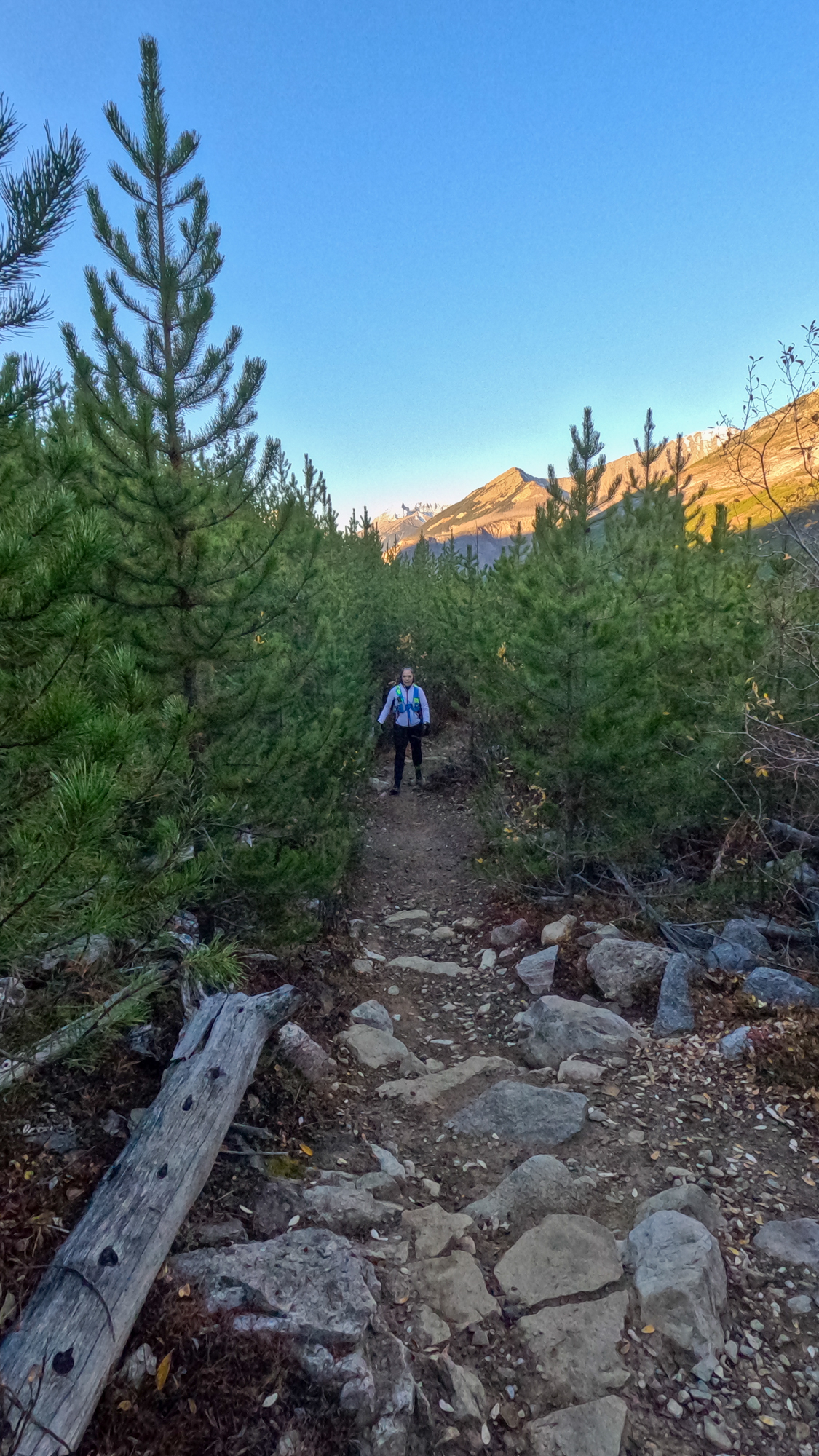
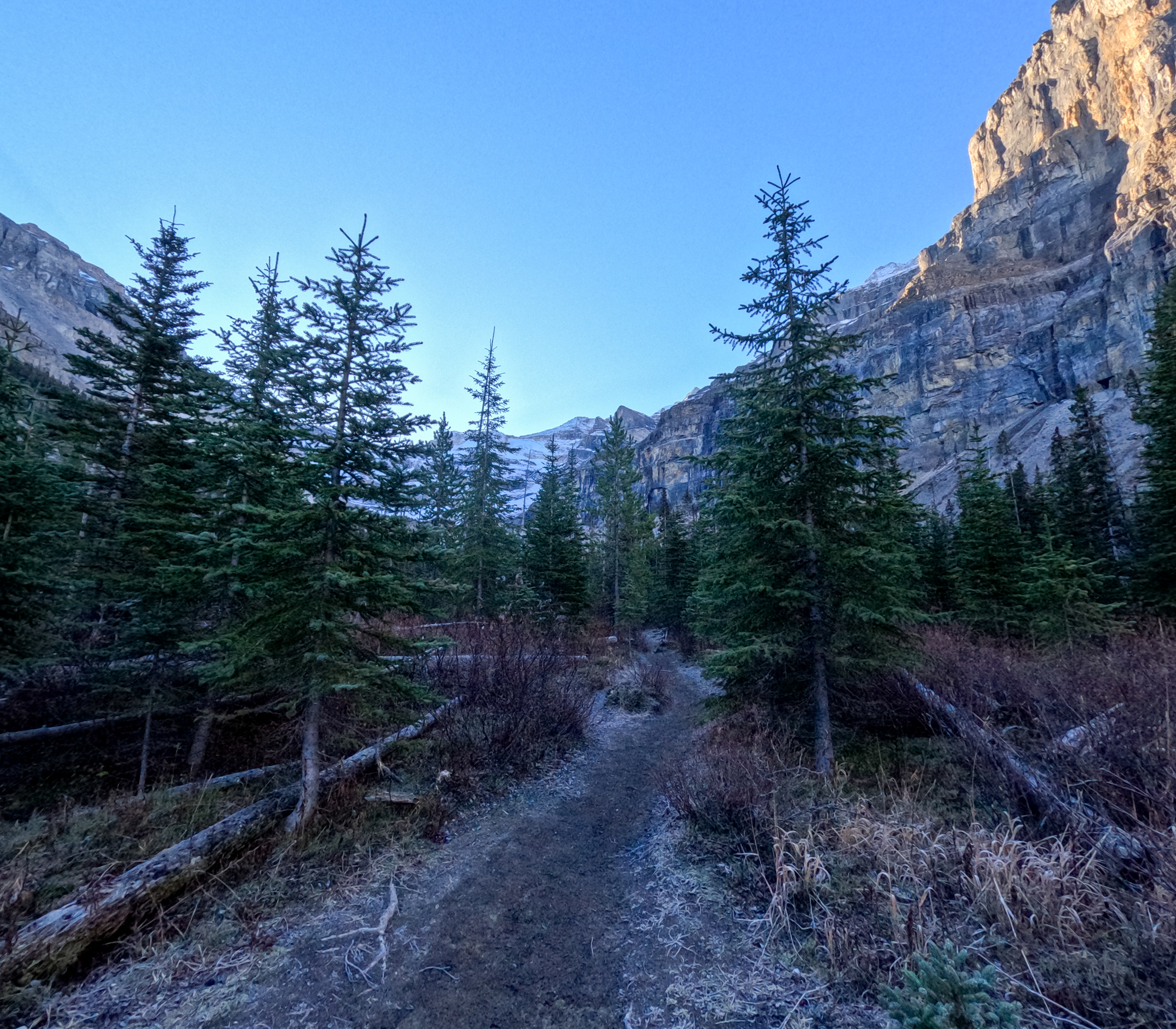
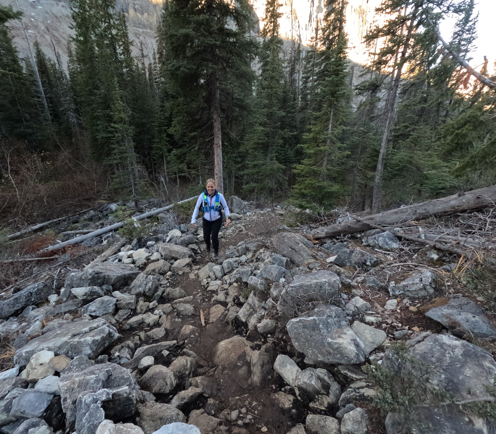
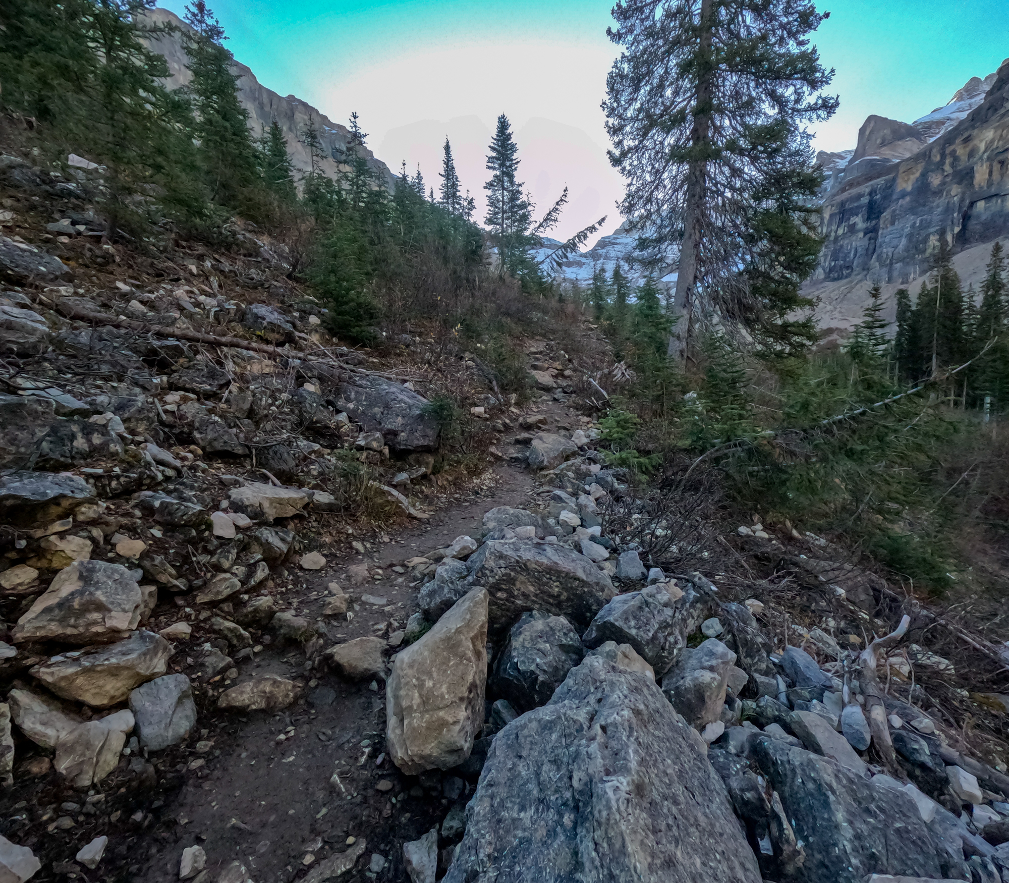
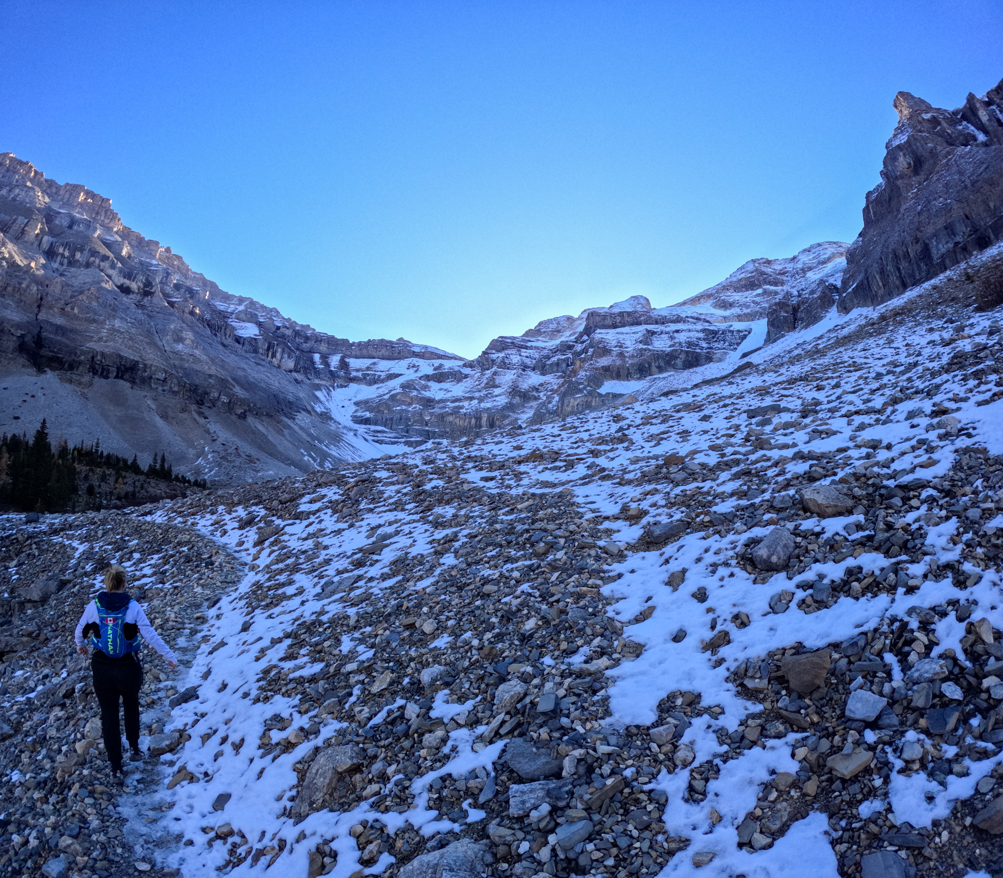
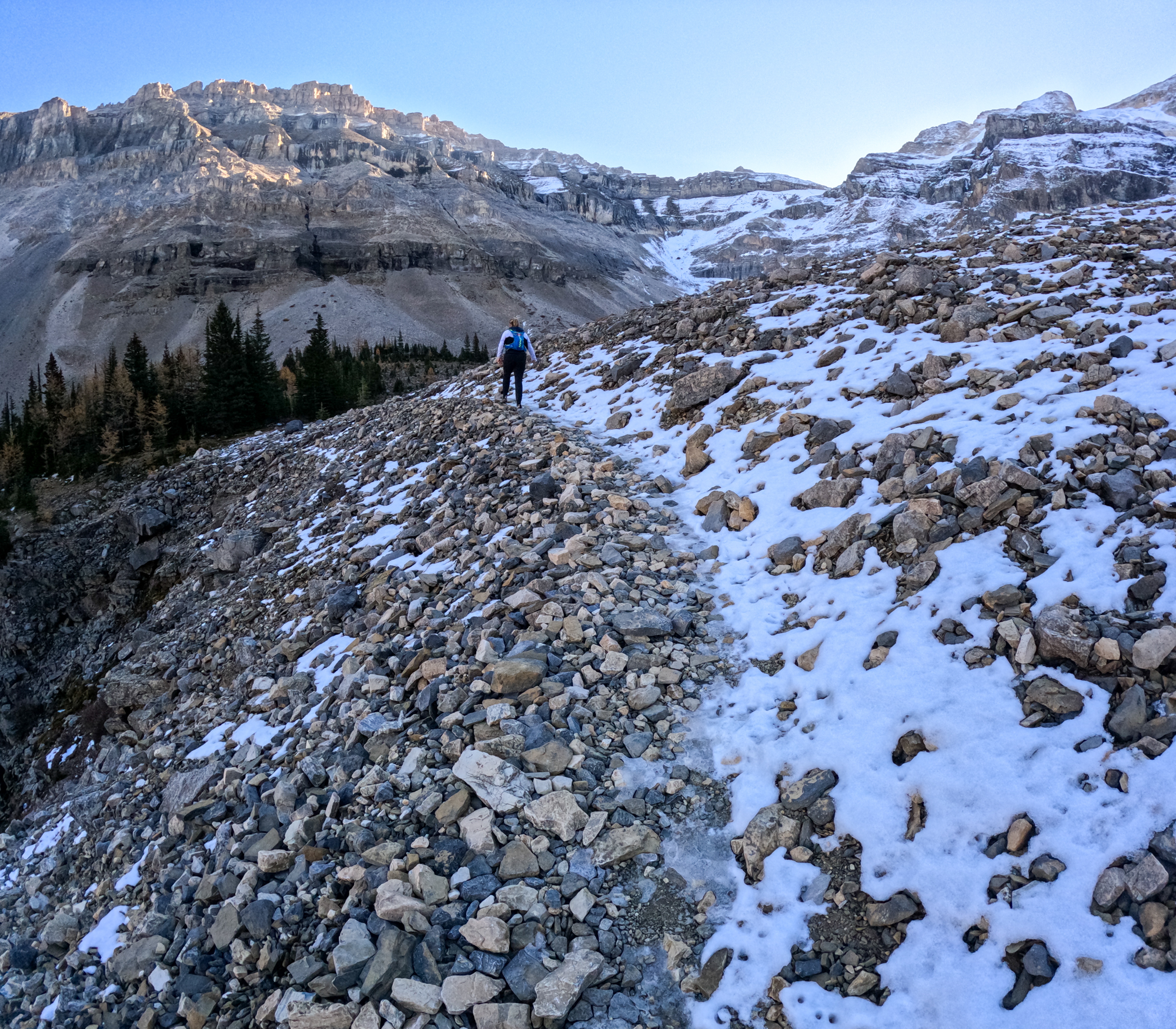
The first couple of kilometres were a gentle climb, definitely runnable for a strong runner. We took a few walk breaks for sure. The gain was about 100m per KM and then flattened out for another 2km before starting to really climb. The elevation profile paints a pretty clear picture.
Google Earth Fly By